


Share project details
Call us or get a free online quote to help us identify your project needs.

We'll follow up
If you requested an online quote, you can expect a callback within 24-48 hours of your request.

The floor is yours
Connect with an expert and share all project specifics.

Plan your project
Like what you hear? We'll provide next steps and expert guidance.
Initial Consultation
We'll discuss your needs and project requirements.
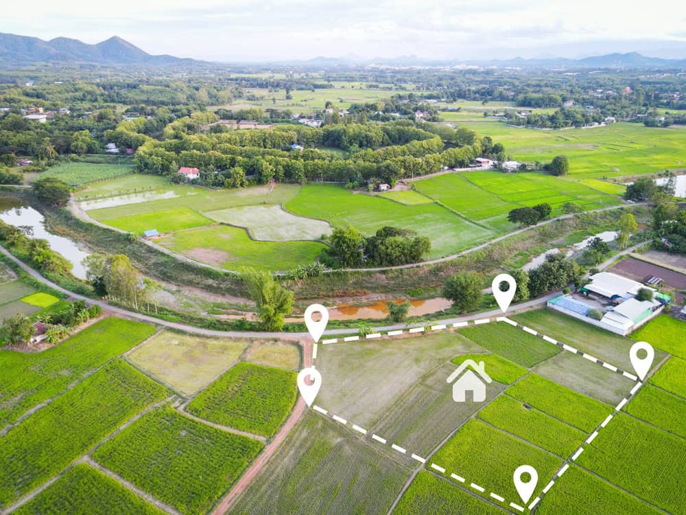
Site Evaluation
We'll assess your property and plan the aerial survey.
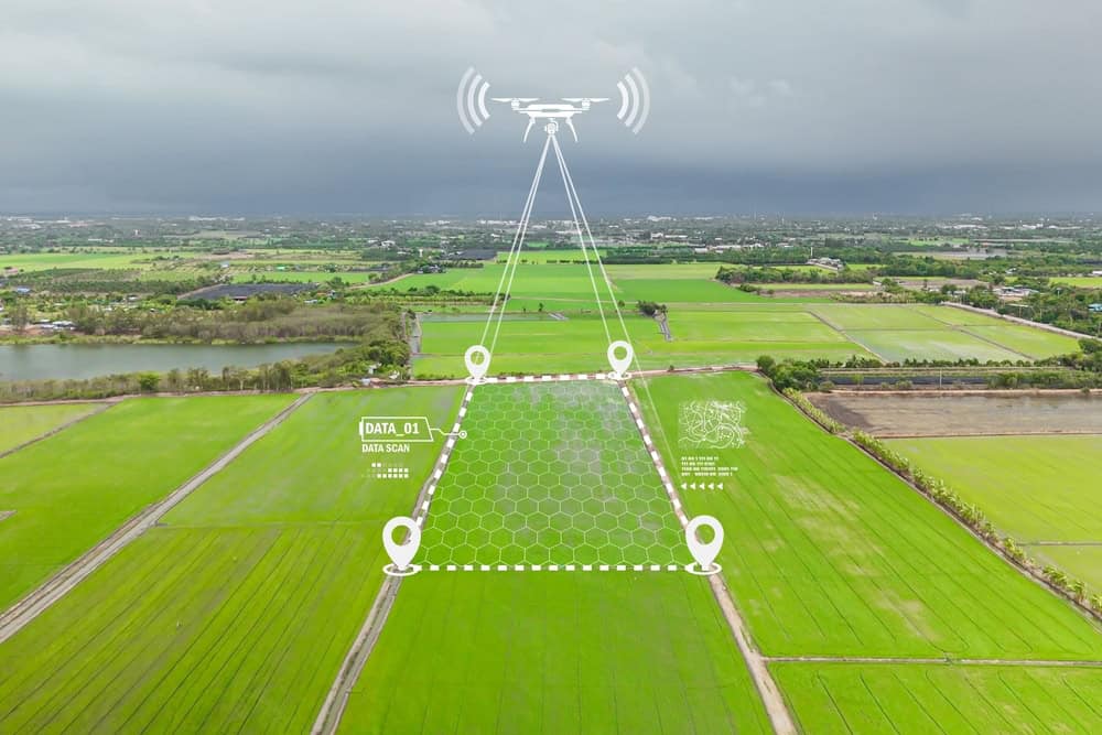
Data Acquisition
Our drones will capture high-resolution images and data.
Data Processing
We'll process the fully-fledged survey report.