
Our property surveyors have over 20 years of experience in boundary surveys
Accurate Results
We use the latest technology to offer precise property boundary surveys
Fast Turnaround
Get your boundary survey completed quickly without sacrificing quality
Customer Satisfaction
We prioritize your needs and make sure you are fully satisfied with our services

Expert Boundary Surveying Martin County, FL
Boundary Survey Services in Martin County, FL
Boundary surveying is a type of land surveying that precisely identifies and establishes the legal boundaries of a property. The purpose of a boundary survey is to determine the exact location of property lines and to mark those lines on the ground. This type of survey is essential for property owners, developers, and neighbors to understand where one property ends and another begins, and it is often required when buying, selling, dividing, or developing land.
Call us or get a free online quote to help us identify your project needs.

We'll follow up
If you requested an online quote, you can expect a callback within 24-48 hours of your request.

The floor is yours
Connect with an expert and share all project specifics.

Plan your project
Like what you hear? We'll provide next steps and expert guidance.
Property Surveyor Expertise Martin County, FL
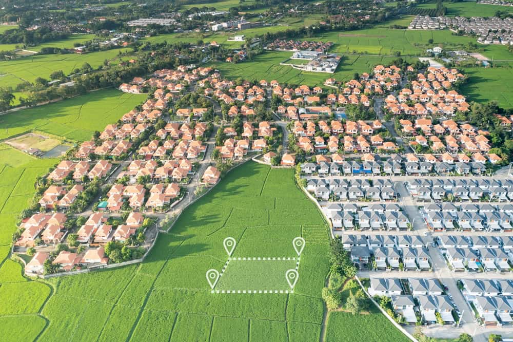
The Role A Property Surveyor Plays in Boundary Identification
They play an essential role in the real estate, construction, and land development industries by guaranteeing accurate boundary lines and offering data to guide property transactions, development projects, and legal matters.
Our property surveyors give you essential data and documents that protect property rights, prevent disputes, and support safe, legal property development.
Property surveyors play a vital role in defining and confirming the legal boundaries of land by measuring and comparing physical features against descriptions in deeds, titles, and historical records. Using special tools such as GPS, laser scanning, and theodolites, they precisely measure land and create detailed maps, or plats, that show property lines, existing structures, and natural features.
Surveyors also identify any encroachments, like buildings or fences extending over property lines, and record easements or rights-of-way, such as utility lines, which may restrict property use. Additionally, they prepare detailed survey reports and maps that are necessary for title insurance, property transactions, and construction permits.