


Land Survey Service Area – Aero Land Surveyors - FL

Aero Land Surveyors Provides Boundary, Topographic, ALTA, Mortgage, and Other Surveys in Florida

Your property needs a land survey. Since 2022, Aero Land Surveyors has been in Florida, ready to help. We offer precision land surveys using aerial and ground technology, capable of delivering the reliable survey data your project needs. We also have land survey technicians local to the area, aware of county records, flood maps, permit offices, and other local requirements.

We operate directly out of two South Florida offices, with Aero Land Surveyors Southeast and Aero Land Surveyors Southwest, serving Melbourne to Miami and Naples to Tampa. Our team is available to take on new projects.  Call 772-237-4993, text 631-213-1573, or request a quote to get started on either coast.

A large, vibrant green rice field with an outlined shape of a house in the center, indicating a planned building site. A small shed is visible at the bottom, and there are buildings and trees in the distance—a testament to Land Surveyors Martin County's precision.
Two land surveyors in high-visibility vests and helmets operate a drone in front of a field of wind turbines at sunset. The sky is vibrant with orange and yellow hues, casting a warm glow over the landscape, embodying the serene beauty typical of Martin County.
Surveys We Provide Along Both Coasts

Our offices offer the full range of survey work a property owner, builder, lender, or title company typically needs, whether the property sits on the Atlantic side or the Gulf side of the state. Our services include, but are not limited to:

Our local teams serve the entire South Florida community. We are able to deploy precision technology to each job site, allowing us to obtain the data your project requires on your schedule.

See What Our Customers Have to Say

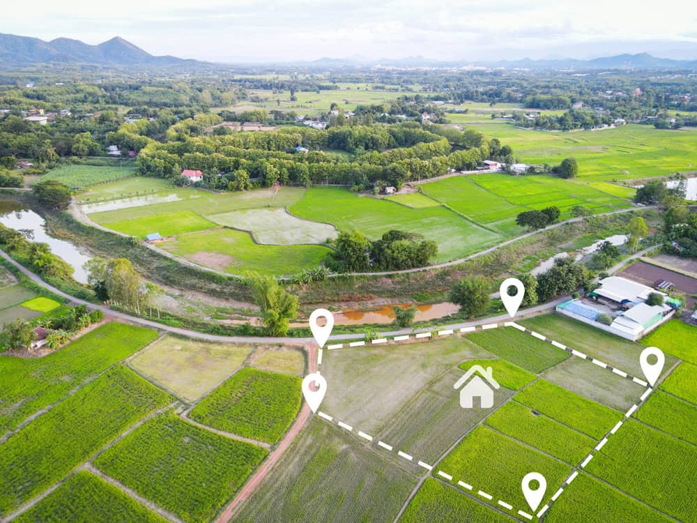
Aerial view of a lush, green agricultural landscape with various fields and buildings. A white dotted boundary highlights a plot, marked by Land Surveyors Martin County, featuring a house icon in the center. The background reveals hills and distant mountains.

Why Local Knowledge Shapes a Survey

The legal standards behind a survey are statewide, but the details that determine how smoothly a survey goes are almost always local.

  • County Records and Plats — Each county stores and indexes historical plats, easements, and prior surveys differently. Our teams know where to look to save time on your project before a crew ever reaches the property.
  • Flood Zones and Base Flood Elevation — FEMA’s elevation certificate process relies on base flood elevations that are set county by county and sometimes block by block, which makes local flood map familiarity part of getting a FEMA Flood Certificate right the first time.
  • Setbacks and Permitting — Zoning setbacks, easement rules, and permitting timelines vary by municipality, and a team that already works in a county tends to know what a given building department will ask for.
  • Water and Shoreline — Coastal and waterfront properties bring their own layer of jurisdiction, from mean high water lines to riparian rights, and both Florida coasts have plenty of it.

The surveys are consistent between regions, but this local knowledge can address how quickly and accurately it gets done. Our teams are trained locally to keep your project moving forward.

Southeast Florida Office - Serving Melbourne to Miami

Aero Land Surveyors Florida Southeast is based at 568 SE Port St Lucie Blvd, Port St. Lucie, FL 34984. This team regularly serves communities across the Treasure Coast and Palm Beach County, including:

  • Vero Beach, Vero Beach South, and the West Vero Corridor
  • Sebastian, Roseland, and Winter Beach
  • Port St. Lucie, Fort Pierce, White City, and Lakewood Park
  • Stuart, Palm City, Jensen Beach, and Seminole Shores
  • Hobe Sound, Jupiter Island, and Jupiter Inlet Colony
  • Jupiter, Juno Beach, and Palm Beach Gardens
  • Palm Beach Shores, West Palm Beach, and Palm Beach
  • Wellington, Boynton Beach, Delray Beach, and Boca Raton
  • Okeechobee, Fort Drum, and Dixie Ranch Acres

Coverage also extends into Brevard, Broward, and Miami-Dade counties, reaching cities including Melbourne, Palm Bay, Fort Lauderdale, Hollywood, and Miami, along with the surrounding communities in each.

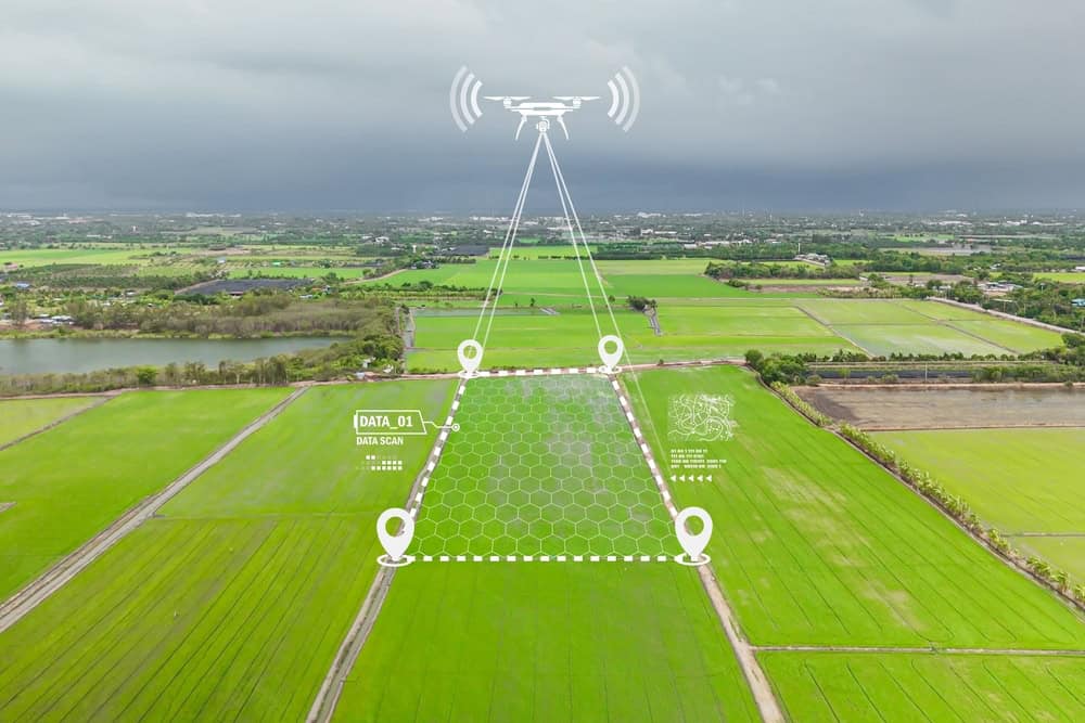
A drone hovers over lush green agricultural fields in Martin County, with digital overlays illustrating data collection and GPS mapping. This scene showcases the integration of technology in farming, akin to the precision seen with land surveyors. A cloudy sky looms in the background.
Aerial view of a lush, green agricultural landscape with various fields and buildings. A white dotted boundary highlights a plot, marked by Land Surveyors Martin County, featuring a house icon in the center. The background reveals hills and distant mountains.

Southwest Florida Office – Serving Naples to Tampa

Aero Land Surveyors Florida Southwest is based at 8433 Enterprise Cir, Ste 100-220, Lakewood Ranch, FL 34202. This team has a coverage area that reaches throughout the entire west and central side of Florida, including:

  • Collier County — Naples, Marco Island
  • Lee County — Fort Myers, Cape Coral, Bonita Springs, Estero, Lehigh Acres, Sanibel
  • Charlotte County — Punta Gorda, Port Charlotte
  • Sarasota County — Sarasota, Venice, North Port
  • Manatee County — Bradenton, Palmetto, Lakewood Ranch
  • Hillsborough County — Tampa, Brandon, Riverview, Temple Terrace
  • Pinellas County — St. Petersburg, Clearwater, Largo

If your property falls somewhere in this stretch of the Gulf Coast and you don’t see your city listed by name, reach out with the address. The Southwest team can confirm coverage directly, usually within the same call.

Growing Beyond Florida

Land surveying is licensed state by state, and every state Aero Land Surveyors works in gets its own properly licensed team, the same way Southeast and Southwest Florida each have their own. Additional offices are part of the company’s plans going forward, whether that means a new region within Florida or a first office in another state entirely.

If you’re outside Florida and considering a survey, reaching out is still worthwhile. It’s the fastest way to find out whether Aero Land Surveyors already serves your area or has plans to soon.

Get a Free Quote for Your Florida Property

Wherever your property sits between Melbourne and Miami, or Naples and Tampa, Aero Land Surveyors has a licensed local team ready to help.

Call 772-237-4993, text 631-213-1573, or request a free quote online. Questions about a specific survey type? Check the FAQ or browse the blog for more.

A black circle with the number 1 in it.
Initial Consultation

We'll discuss your needs and project requirements.

A black circle with the number 2 in it.
Site Evaluation

We'll assess your property and plan the aerial survey.

A black circle with the number 3 in it.
Data Acquisition

Our drones will capture high-resolution images and data.

A black circle with the number 3 in it.
Data Processing

We'll process the fully-fledged survey report.

Request a callback

A curved black arrow pointing downwards.

© 2026

Aero Land Surveyors.

All Rights Reserved.