

Share project details
Call us or get a free online quote to help us identify your project needs.

We'll follow up
If you requested an online quote, you can expect a callback within 24-48 hours of your request.

The floor is yours
Connect with an expert and share all project specifics.

Plan your project
Like what you hear? We'll provide next steps and expert guidance.

Research and Planning
We research county records, review your deed, and identify any potential boundary or access issues.
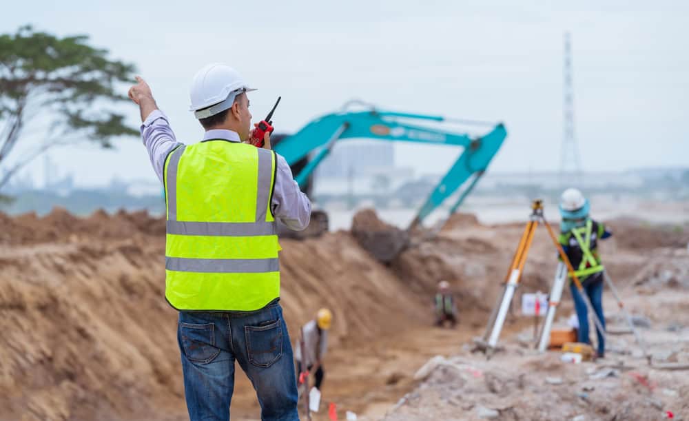
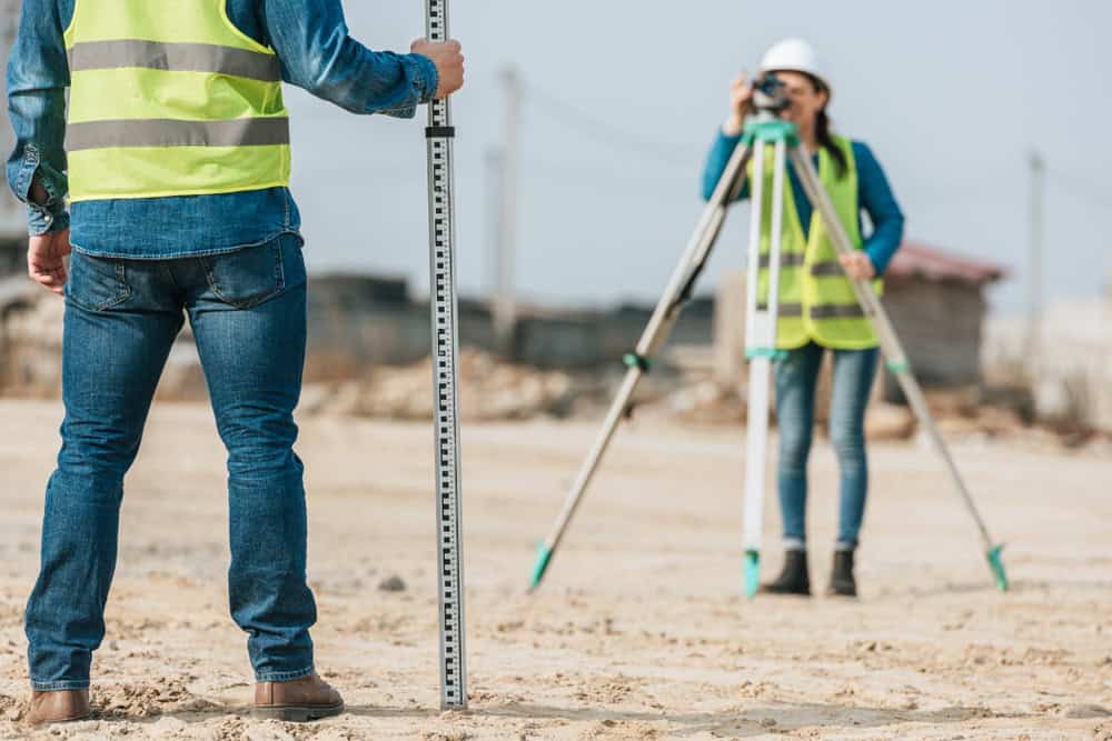
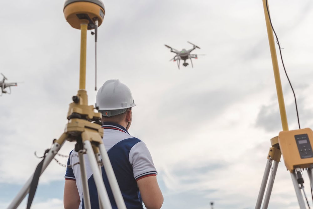
Field Survey Work
Our licensed surveyors visit your property to take precise measurements and locate existing boundary markers.
Documentation and Delivery
You receive detailed survey drawings, written reports, and digital files within the agreed timeframe.