Land Topographical Survey Title in Stuart, Martin County
Entering a real estate deal? Aero Land Surveyors in Martin County provides a topographical survey in Stuart, FL. Gain a comprehensive property overview.
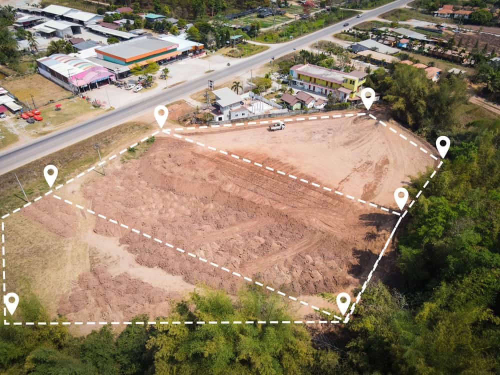
Leading Topographical Survey Services in Martin County
Serving Martin County with Topographical Survey Expertise and Integrity with Aero Land Surveyors
A premier topographical survey provider in Martin County. We possess in-depth knowledge of these specialized surveys and deliver rigorous data for real estate transactions in Stuart FL. We adhere to the stringent ALTA/NSPS standards and employ state-of-the-art surveying equipment. Our devotion to client satisfaction is unwavering.
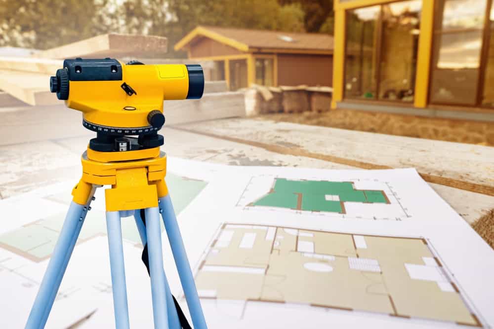
Topographical Survey in Stuart; Essential for Informed Decisions
Partner with Aero Land Surveyors in Martin County for Your Topographical Survey
Topographical survey are indispensable for real estate transactions, offering a complete understanding of the property for title insurance and lending purposes. We provide these specialized surveys in Stuart and FL, adhering to the highest industry standards. Contact us today to discuss your topographical survey requirements in Martin County.
In the 18th century, several Spanish galleons were shipwrecked in the Martin County area of Florida’s Treasure Coast. The multiple wrecks were reportedly the result of a hurricane, and the ships were carrying unknown quantities of gold and silver. Some of this treasure has since been recovered, and its presence resulted in the region’s name.
The historic Dudley-Bessey House on SW Atlanta Avenue is now a yacht brokerage office
In 1832, pirate Pedro Gilbert, who often used a sandbar off the coast as a lure to unsuspecting prey, chased and caught the Mexican, a U.S. merchant ship. Although he attempted to burn the ship and kill the crew, they survived to report the incident, ultimately resulting in the capture and execution of Gilbert and his crew. The bar from which he lured his intended booty is named “Gilbert’s Bar” on nautical charts.
The Old Martin County Courthouse, built in 1937, now the Courthouse Cultural Center
The Treasure Coast area that became Stuart was first settled by non-Native Americans in 1870. In 1875, a United States Lifesaving Station was established on Hutchinson Island, near Stuart. Today, the station is known as Gilbert’s Bar House of Refuge and is on the National Register of Historic Places.