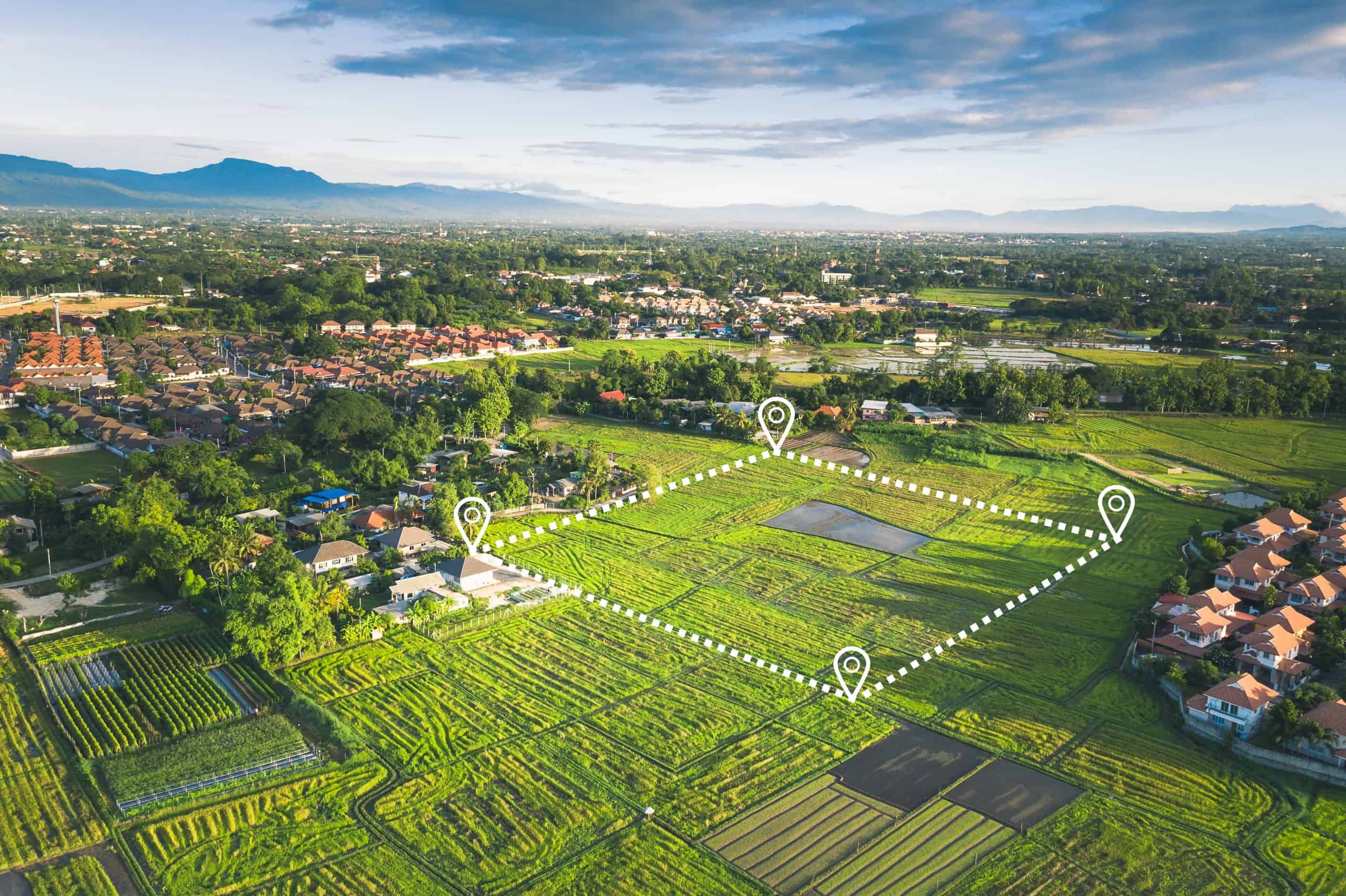
Define your property with certainty. Aero Land Surveyors’s residential boundary surveys in West Vero Corridor, FL provide precise property line locations, giving you the tranquility you deserve.

Hear from Our Customers

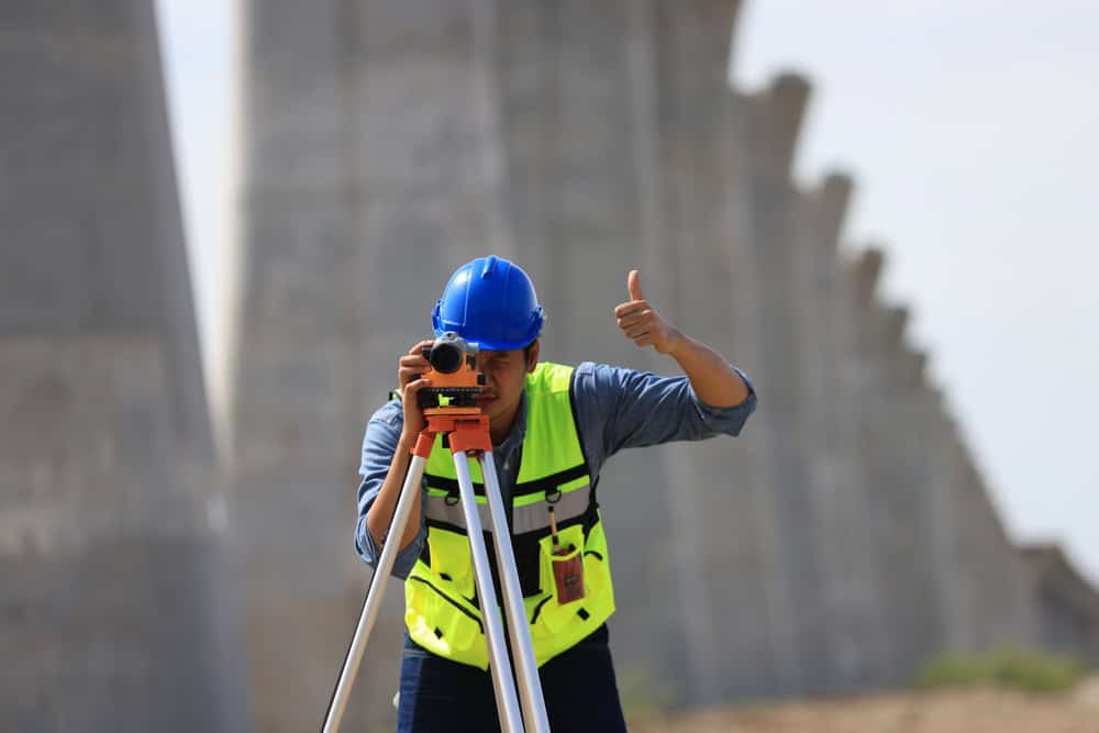
Aero Land Surveyors is a team of seasoned land surveyors serving Indian River County. We specialize in residential boundary surveys in West Vero Corridor, FL, using renowned devices to provide the best results for your projects. Clear and accurate property lines are essential, and we take a thorough, detail-focused approach to meet your needs. With years of experience in Indian River County, our reputation makes us the go-to choice for property surveys.


Ready to get started?
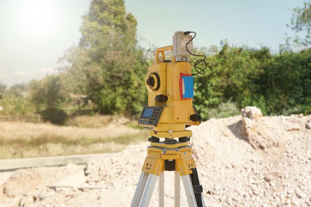
A residential boundary survey is a fundamental step for any homeowner in West Vero Corridor, FL. It provides important facts and figures about your property lines, preventing disputes and informing your decisions. Aero Land Surveyors’s skilled surveyors use high-level equipment, including robotic total stations and GPS receivers, to obtain our measurements. We then create detailed maps that clearly show your property boundaries. These maps are vital for construction, landscaping, and resolving any property line questions. Contact Aero Land Surveyors today to schedule your residential boundary survey in West Vero Corridor and gain clarity about your property.

West Vero Corridor is located southeast of the geographic center of Indian River County at 27°38′24″N 80°29′48″W / 27.64000°N 80.49667°W (27.640013, -80.496557), extending 4 miles (6 km) along both sides of Florida State Road 60 west of the city Vero Beach. It is bordered to the east by the Vero Beach South CDP and to the west by Interstate 95. The center of Vero Beach is 3 miles (5 km) east of the CDP via SR 60. I-95 leads north 33 miles (53 km) to Melbourne and south 16 miles (26 km) to Fort Pierce.
According to the United States Census Bureau, the CDP has a total area of 4.9 square miles (12.8 km2), of which 4.9 square miles (12.6 km2) are land and 0.1 square miles (0.2 km2), or 1.71%, are water.
Learn more about West Vero Corridor.Local Resources