Summary:
How Drone Technology Revolutionizes Martin County Property Surveys
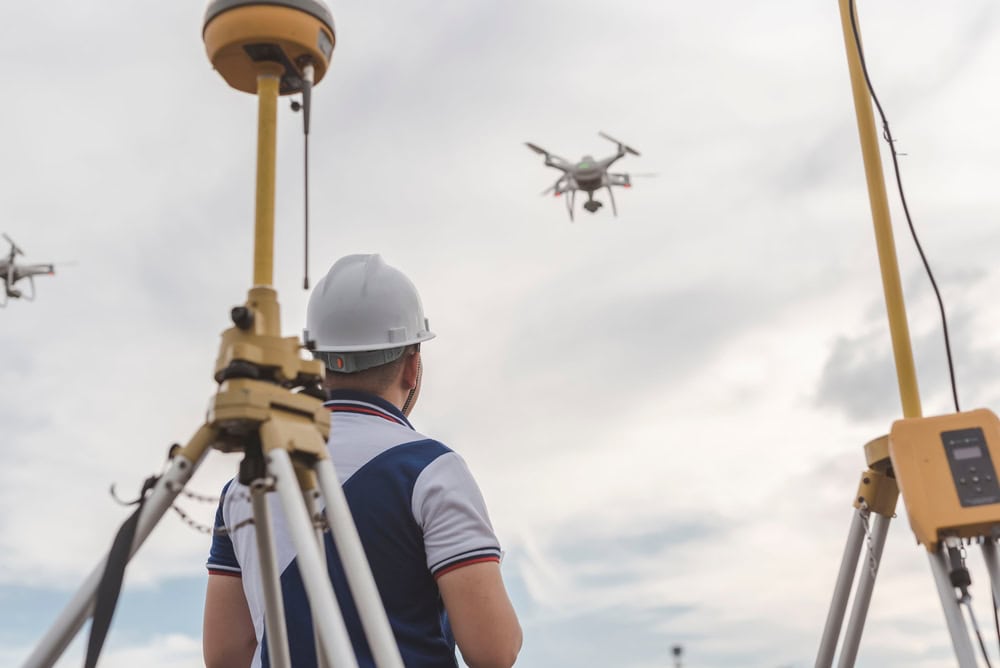
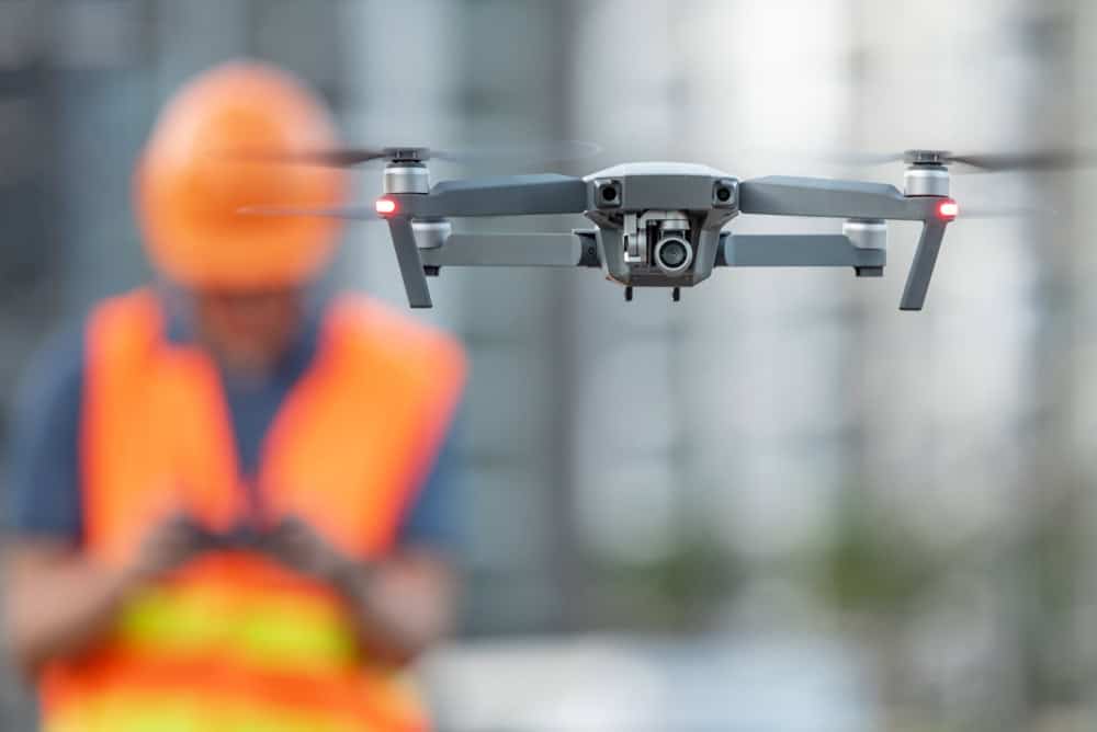
Professional drone surveying has transformed how we measure and map property across Martin County. Instead of survey crews spending days walking every inch of your land with traditional equipment, our drones capture comprehensive data in hours.
Our professional surveying drones carry specialized sensors and cameras that create detailed aerial maps with survey-grade accuracy. The technology achieves precision within 2-3 centimeters horizontally and 5-6 centimeters vertically – among the most accurate methods available today.
What once required expensive manned aircraft can now be accomplished at a fraction of the cost while delivering superior results. This means more property owners can access high-quality boundary surveys without stretching project budgets.
The Photogrammetry Process Behind Accurate Drone Surveys
The precision comes from photogrammetry – the science of making measurements from photographs. We fly the drone in carefully planned patterns, capturing hundreds of overlapping images of your property.
Professional software processes these images, identifying common points between photos and calculating precise measurements. The drone’s GPS coordinates are recorded for each image, allowing software to create accurate maps tied to real-world coordinates.
This process dates back to the early 1900s, but modern drones fly much lower than traditional aircraft, capturing higher quality images with incredible detail. The result is a comprehensive dataset showing not just property boundaries, but every feature, structure, and elevation change on your land.
Ground control points – precisely surveyed markers we place on your property – ensure aerial data matches exact real-world positions. This combination of aerial imagery and ground verification creates survey-grade accuracy that holds up in legal situations.
The speed advantage is significant. Large areas that would take survey crews weeks to measure on foot can be captured in a single day. This means faster project timelines and lower costs for property owners, while actually improving the accuracy and completeness of data collected.
What Drone Surveys Deliver That Traditional Methods Can't
Traditional surveying methods collect individual points – important corners, elevation spots, and key features. Our drone surveys capture everything. Every tree, building, fence line, elevation change, and surface detail gets recorded automatically.
This comprehensive approach means you’re not just getting boundary lines. You’re getting a complete digital record of your property that serves multiple purposes – construction planning, drainage analysis, volume calculations, and future reference.
The visual component proves equally valuable. Instead of interpreting technical drawings, you see actual aerial photos of your property overlaid with precise survey data. This makes it much easier to understand what you’re looking at and make informed decisions about your land.
Safety becomes another major advantage, especially for challenging properties. We can capture data from steep slopes, wetlands, or other difficult terrain without putting anyone at risk. The drone handles the dangerous work while our survey team operates from safe positions.
For properties with environmental sensitivities, drones minimize ground disturbance. There’s no need to clear paths for survey crews or worry about damage to landscaping, crops, or natural areas. The survey happens from above with minimal impact on your property.
3D Laser Scanning Technology for Precision Property Measurement
While drones excel at capturing large areas from above, our 3D laser scanning provides incredibly detailed measurements of structures, terrain, and complex features. Laser scanners can record individual points to within 0.3 millimeters of accuracy.
The technology works by projecting laser beams and measuring how long it takes light to return from surfaces. This happens thousands of times per second, creating dense “point clouds” that represent every surface the laser touches.
Unlike traditional surveying that captures selected points, laser scanning records everything within its field of view. The result is a complete 3D model of whatever is being surveyed – buildings, land features, or entire properties.
How GPS Integration Makes Our Modern Surveys More Reliable
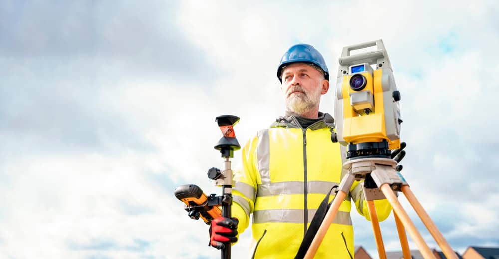
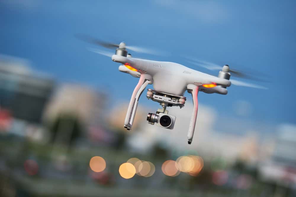
GPS technology provides the foundation that makes all our modern surveying accurate and legally defensible. Our professional surveying GPS achieves far greater precision than consumer devices, delivering centimeter-level accuracy through advanced techniques.
Real-Time Kinematic (RTK) GPS systems use satellite signals combined with ground-based correction data to provide precise positioning in real-time. This allows us to establish control points and reference systems that tie all survey data to exact geographic coordinates.
The integration of GPS with drones and laser scanners ensures that every piece of data we collect has a precise real-world location. This proves crucial for boundary surveys, construction layout, and any legal documentation that might be needed later.
Global Navigation Satellite Systems (GNSS) provide the backbone for this precision. Multiple satellite constellations work together to provide positioning data that’s accurate enough for the most demanding topographic surveys.
When we establish control points using professional GPS equipment, we’re creating reference anchors that ensure all other measurements are accurate and consistent. These control points can verify the accuracy of drone flights and laser scans, providing quality assurance throughout our surveying process.
The Complete Digital Record Our Modern Technology Creates
Our modern surveying technology doesn’t just measure your property – it creates a complete digital twin that can be used for years to come. This digital record includes precise 3D models, detailed maps, aerial imagery, and comprehensive measurement data.
Having this digital record means you can revisit your survey data anytime without additional site visits. Architects, engineers, and contractors can work from the same accurate dataset, reducing errors and miscommunication during construction projects.
The technology also enables better project management and decision-making. You can virtually walk through your property, take measurements, create visualizations, and identify potential issues before they become expensive problems.
For property owners, this digital record becomes a valuable asset. It documents the exact condition and boundaries of your property at a specific point in time, which can prove crucial for insurance claims, property sales, or future development planning.
The ability to overlay different types of data – aerial photos, elevation models, boundary lines, and utility locations – provides a comprehensive understanding of your property that traditional surveys simply couldn’t match. This integration of multiple data sources creates a more complete and useful survey product.
Why Martin County Property Owners Choose Our Advanced Survey Technology
Property owners across Martin County are discovering that our modern surveying technology delivers better results in less time at competitive prices. The combination of speed, accuracy, and comprehensive data makes these advanced methods the smart choice for most projects.
Whether you’re buying property, planning construction, or resolving boundary questions, having access to the most accurate and complete survey data protects your investment and prevents costly surprises. The technology has matured to the point where it’s become the standard for professional surveying services.
For your next surveying project in Martin County, consider working with Aero Land Surveyors to experience how modern technology can deliver the precise, reliable results your project deserves.
