Summary:
What Environmental Factors Do Land Surveyors Identify During Property Surveys
Environmental surveying goes far beyond basic property lines. We work with FEMA and local floodplain administrators to collect data that informs flood maps, combining this information into computer models used to create updated flood mapping.
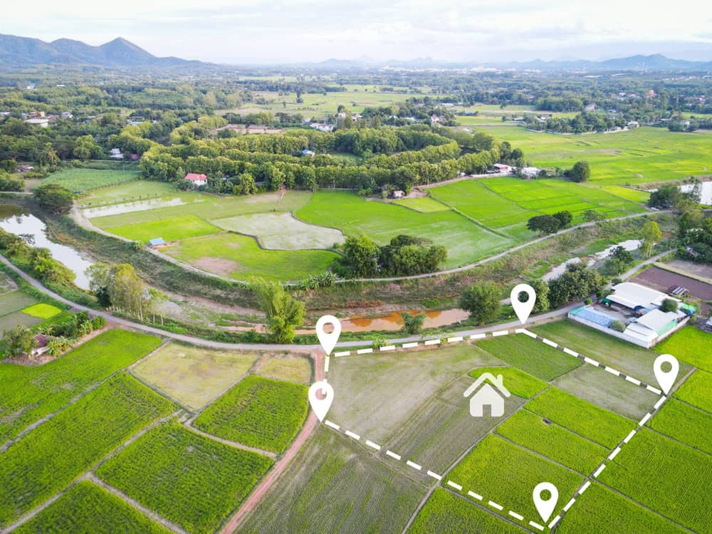
During your survey, our licensed professionals identify flood zones, wetland boundaries, drainage patterns, and other environmental features that directly impact your property’s use and value. This process helps determine flood risk and other environmental factors that affect construction and development decisions.
We create detailed documentation that becomes essential for insurance, permits, and future property improvements. You’re not just getting a map—you’re getting a comprehensive analysis that protects your investment and guides your decisions.
How FEMA Flood Zone Mapping Works During Land Surveys
Flood maps show how likely an area is to flood, with any place having a 1% chance or higher of experiencing a flood each year considered high risk—meaning at least a one-in-four chance of flooding during a 30-year mortgage. We don’t just look at existing maps. We verify current conditions on your specific property.
The process starts with accessing the National Flood Hazard Layer (NFHL), a geospatial database containing current effective flood hazard data that FEMA provides to support the National Flood Insurance Program. But here’s what many property owners in Martin County, Okeechobee County, and Indian River County don’t realize—flood conditions change over time due to development, weather patterns, and infrastructure changes.
We use GPS technology and elevation measurements to determine your property’s exact relationship to flood zones. If your property is in a flood zone, you’ll likely need flood insurance, and FEMA elevation certificates are usually necessary for that coverage—sometimes existing certificates are on file, but often we need to evaluate flood-prone areas and complete new paperwork.
This isn’t just about insurance requirements. Understanding your flood zone designation affects where you can build, how high structures need to be elevated, and what permits you’ll need for future improvements. These Flood Insurance Rate Maps (FIRMs) illustrate flood hazards throughout counties and help property owners identify steps they need to take to protect against damage and loss.
We take precise elevation measurements across your property using high-tech GPS equipment. These measurements get compared against Base Flood Elevations established by FEMA. The result? You know exactly where your property stands in relation to flood risk, and you have the documentation to prove it.
Wetland Delineation and Environmental Boundary Identification
Florida wetlands are defined as areas that are inundated or saturated by surface water or ground water at a frequency and duration sufficient to support vegetation typically adapted for life in saturated soils. But identifying these areas requires more than just looking for standing water.
The Florida Department of Environmental Protection has responsibility for performing formal wetland delineations and ensuring consistent statewide use of the Florida Unified Wetland Delineation Methodology. During your property survey, we follow these established protocols to identify wetland boundaries accurately.
The process involves examining three key indicators: hydric soils, wetland vegetation, and hydrology patterns. We look for specific soil types, plants that thrive in wet conditions, and water flow patterns. Soils in wetlands are generally classified as hydric or alluvial with characteristics associated with reducing soil conditions, while vegetation consists of facultative or obligate hydrophytic macrophytes adapted to grow in aquatic environments or anaerobic soil conditions.
This matters more than you might think. Wetlands are crucial friends to Florida’s ecology—rainfall drains into floodplains and wetlands, filters through these areas, and gets stored underground as the only source of drinking and domestic water supply in South Florida, making protection and maintenance of these drainage areas essential for water quality.
We map these wetland boundaries precisely because they affect what you can and can’t do with your property. Building restrictions, permit requirements, and environmental compliance all hinge on accurate wetland identification. Miss this step, and you could face expensive delays or legal issues when you try to develop or modify your property.
In Martin County, Okeechobee County, and Indian River County, wetland identification becomes especially critical due to proximity to sensitive environmental areas. We understand local conditions and regulatory requirements that affect your specific location.
Advanced Technology and Methods Used in Environmental Surveying
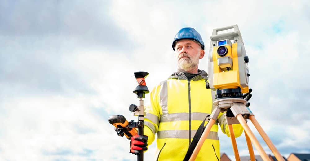
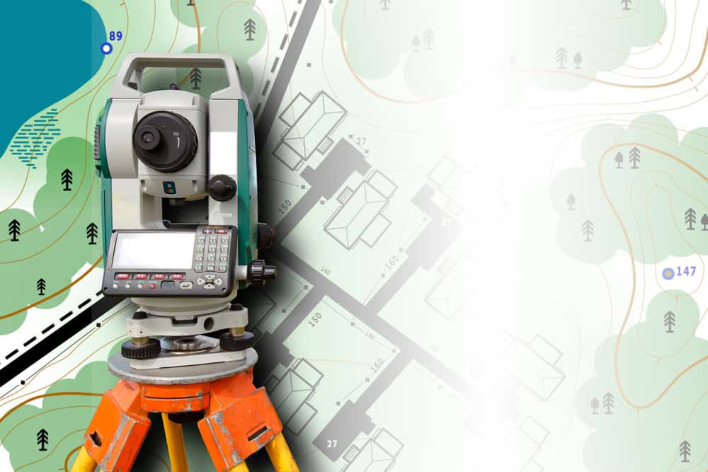
Modern environmental surveying combines traditional field work with cutting-edge technology. We use advanced equipment including robotic total stations, GPS data collection, and drones for aerial mapping with specialized software for data processing.
As licensed and experienced surveyors, we utilize advanced technology and equipment following industry standards and guidelines to maintain the highest level of accuracy in all surveys. This technology integration ensures environmental factors are mapped with precision that meets regulatory requirements and provides reliable data for your property decisions.
Gone are the days of surveyors relying solely on basic instruments. Today’s environmental surveying leverages satellite technology, aerial imaging, and computer modeling to create comprehensive pictures of your property’s environmental conditions.

GPS and Elevation Mapping for Flood Risk Assessment
Our survey teams conduct thorough on-site surveys using specialized tools like robotic total stations and GPS receivers, employing established surveying techniques to collect precise measurements and data, including taking measurements and locating existing markers to establish boundary lines. For flood risk assessment, elevation data becomes critical.
We use high-precision GPS equipment to determine exact elevations across your property. These measurements get compared against Base Flood Elevations (BFE) established by FEMA to determine your property’s flood risk profile. FEMA conducts Flood Insurance Studies that include information on canal and stream flows, storm tides, hydrologic/hydraulic analyses, and rainfall and topographic surveys, using this data to create Digital Flood Insurance Rate Maps (DFIRMs).
We don’t just record one elevation point—we create a detailed topographic map showing how water would flow across your property during different flood scenarios. This information becomes essential for understanding insurance requirements, building restrictions, and future development possibilities.
Modern GPS technology allows us to achieve accuracy within inches, providing reliable data that regulatory agencies and insurance companies accept. We use modern equipment and established methodologies to achieve high levels of accuracy appropriate for design and construction planning, with specific tolerance levels that meet industry standards.
Think about it this way: when you’re planning a new home, addition, or even a simple deck, knowing exactly how water moves across your property could save you thousands in flood damage later. We create detailed elevation maps that show natural drainage patterns, potential problem areas, and safe building zones.
In Florida’s unique climate, where heavy rains and hurricanes are facts of life, this elevation mapping becomes your first line of defense against costly water damage. We identify high and low spots, drainage issues, and areas where water naturally collects during storms.
Regulatory Compliance and Documentation Requirements
Environmental surveying isn’t just about identifying features—it’s about creating documentation that meets strict regulatory requirements. Florida provides a specific methodology for identifying and delineating wetlands in Rule 62-340 F.A.C. to standardize the intent of wetland definitions, and we must follow these protocols exactly.
We create detailed reports that include precise boundary locations, elevation certificates, environmental feature identification, and regulatory compliance documentation. Once the survey is completed, you receive a detailed written report that includes findings, maps, and any other relevant documentation. This documentation becomes crucial for permit applications, insurance claims, and future property transactions.
The regulatory landscape in Florida requires specific expertise. We need deep understanding of local regulations and property laws because environmental requirements vary between counties and can change based on proximity to sensitive areas like the Everglades or coastal zones.
We also coordinate with multiple agencies when necessary. Community members and local officials work together to help understand how water drains in areas, with FEMA working with local experts before combining data into computer models. We serve as your advocate in these processes, ensuring your interests are protected while meeting all regulatory requirements.
This documentation protects you in multiple ways: it provides legal evidence of compliance, supports insurance applications, enables permit approvals, and creates a permanent record that adds value to your property. Without proper environmental surveying and documentation, you could face costly delays, permit denials, or insurance complications down the road.
In Martin County, Okeechobee County, and Indian River County, local regulations add another layer of complexity. We understand these regional requirements and ensure your documentation meets both state and local standards. This local expertise can mean the difference between smooth permit approval and months of bureaucratic delays.
Why Professional Environmental Surveying Matters for Your Florida Property
Environmental factors like flood zones and wetlands aren’t just regulatory hurdles—they’re real conditions that affect your property’s safety, value, and development potential. Professional surveying gives you accurate, reliable information that protects your investment and enables informed decisions about your property.
Land surveys are crucial for establishing property boundaries, resolving disputes, obtaining construction permits, ensuring zoning compliance, and enhancing property value while providing essential information for development projects. When you need environmental surveying that combines advanced technology with regulatory expertise, Aero Land Surveyors provides the precision and professionalism that Florida property owners depend on.
Don’t let environmental unknowns derail your property plans or create expensive surprises. Professional environmental surveying gives you the knowledge and documentation you need to move forward with confidence.


