Land Surveyors Arundel FL

Know Your Boundaries Before Problems Start

Aerial view of lush green fields with five red location pins marking a path along a dotted line, expertly plotted by Land Surveyors in Martin County. In the background, small houses, trees, and distant rolling hills rest under a partly cloudy sky.

Property Assessment Call

Every surveyor on our team holds current Florida state licensing with ongoing education and regulatory compliance.

GPS Laser Precision

Advanced technology delivers measurements accurate to the inch, not the foot like older methods.

Two Week Turnaround

Dedicated project management keeps your survey on schedule while others leave you waiting months.

Full Insurance Coverage

Comprehensive liability and errors coverage protects your investment if anything goes wrong.

A construction worker in a high-visibility vest and orange helmet expertly uses a theodolite on a tripod at the bustling construction site, embodying the precision of Land Surveyors in Indian River County. A blurred yellow truck looms in the background, symbolizing progress and development.

Professional Land Surveying Services

Surveys That Actually Solve Problems

You’re not just buying a piece of paper. You need survey results that prevent neighbor disputes, speed up construction projects, and satisfy lenders when you need them most. Professional land surveying eliminates the guesswork that costs Florida property owners thousands in boundary disputes, construction delays, and failed real estate transactions. Our licensed team handles residential boundary surveys, commercial ALTA surveys, and topographic mapping with the precision and documentation you need.

See What Our Customers Have to Say

Land Survey Benefits

What Professional Surveys Actually Do

Real surveying prevents real problems that cost real money and cause real headaches.
A white bullseye with an arrow in its center on a black circular background, symbolizing precision akin to the expertise of Land Surveyors in Indian River County.

You'll avoid expensive boundary disputes by knowing your exact property lines upfront.

A white magnifying glass icon on a black circular background, symbolizing the precision of Land Surveyors in Martin County.

Construction projects start on time when utility locations and setbacks are clearly marked.

A black circle contains a white shield with a check mark in the center, symbolizing security or protection, much like the trusted expertise Land Surveyors in Martin County offer to safeguard your property's boundaries.

Title insurance covers boundary issues when you have current professional survey documentation.

Icon depicting a white upward arrow alongside a circle with a dollar sign inside, symbolizing financial growth, much like the economic development driven by land surveyors in Martin County, all set against a sleek black background.

Building permits get approved faster with surveys showing regulatory compliance from day one.

An icon depicting a document with a checkmark and a stamp, outlined in white on a black circular background, represents precision. Perfect for Land Surveyors in Indian River County seeking reliable documentation imagery.

Real estate transactions close on schedule with proper survey documentation in place.

A white checkmark inside a black circle on a dark background, symbolizing accuracy and precision akin to the work of Land Surveyors in Indian River County.

Property improvements add value when built in the right locations with proper documentation.

A black circle with the number 1 in it.

Share project details

Call us or get a free online quote to help us identify your project needs.

A black circle with the number 2 in it.

We'll follow up

If you requested an online quote, you can expect a callback within 24-48 hours of your request.

A black circle with the number 3 in it.

The floor is yours

Connect with an expert and share all project specifics.

A black circle with the number 4 in it.

Plan your project

Like what you hear? We'll provide next steps and expert guidance.

Aerial view of a lush, green farming landscape in Indian River County with dotted lines and location markers outlining a section. Nearby are houses and a small town, with mountains visible under a partly cloudy sky—ideal terrain for local land surveyors.

Boundary Survey Specialists Florida

We Find Property Lines Others Miss

That old fence isn’t your property line. Neither are those trees or that driveway. We regularly find property boundaries three to five feet different from where homeowners think they are. Our boundary surveys research original land records, locate historical survey markers, and use GPS technology to establish your true property lines. We set permanent corner monuments and provide detailed plats showing exactly where your property begins and ends. This documentation prevents neighbor disputes and ensures you’re building on land you actually own.

ALTA Survey Experts

Commercial Surveys That Close Deals

ALTA surveys follow strict national standards that commercial lenders and title companies require. These comprehensive surveys document boundaries, improvements, easements, encroachments, utilities, and zoning information in the specific format lenders expect. We handle the complex research, fieldwork, and documentation that ALTA surveys demand. Our team understands Table A requirements and works directly with title companies to ensure your survey meets every specification. You get the detailed plats and certifications that keep commercial transactions moving toward closing.

A construction worker in a blue hard hat and high-visibility vest confidently uses a theodolite for surveying, giving a thumbs-up gesture. Concrete structures form the backdrop, symbolizing the precision that land surveyors in Indian River County are known for.
A black circle with the number 1 in it.

Property Assessment Call

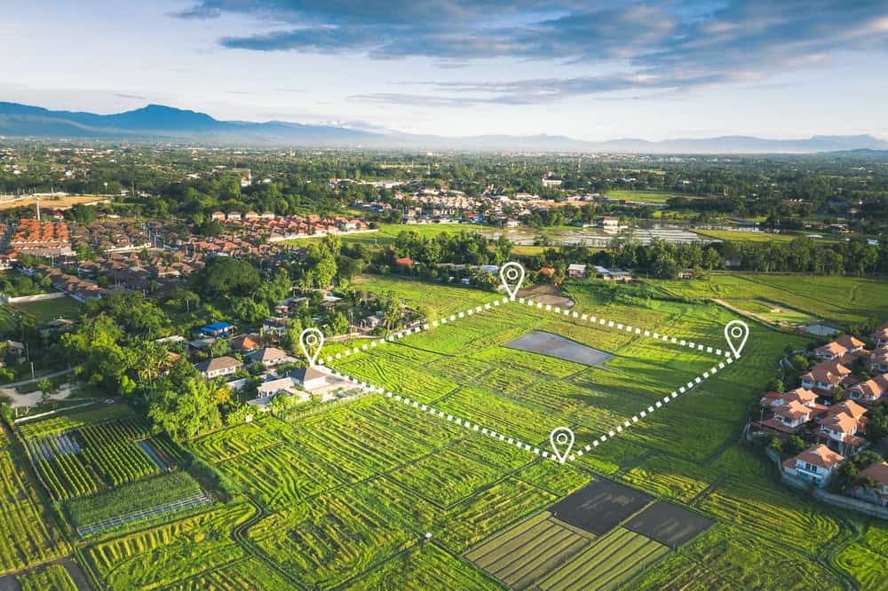
We review your property details, discuss specific needs, and provide a clear quote with realistic timeline.

A black circle with the number 2 in it.

Professional Field Survey

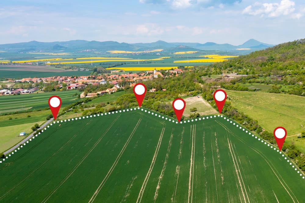
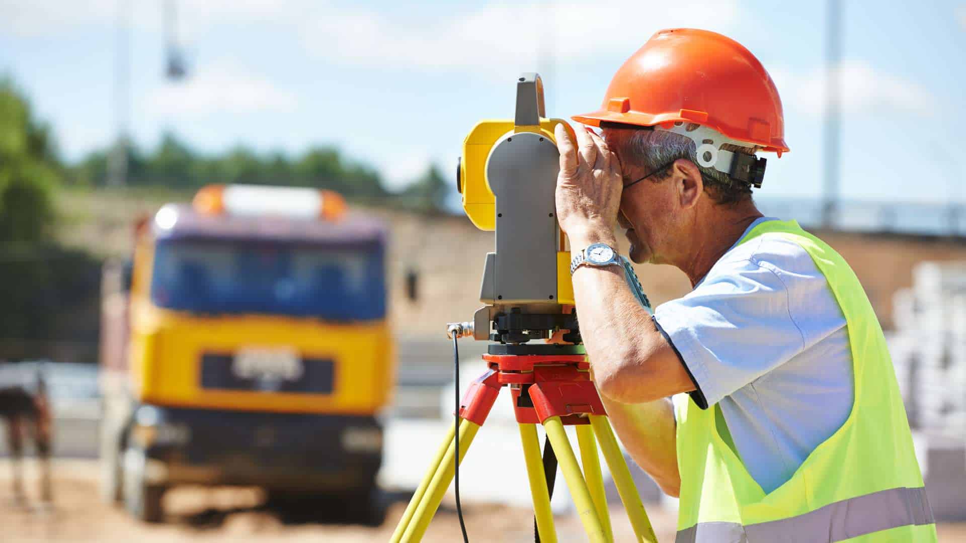
Licensed surveyors use GPS and laser technology to measure boundaries and document all property features.

A black circle with the number 3 in it.

Complete Documentation Delivery

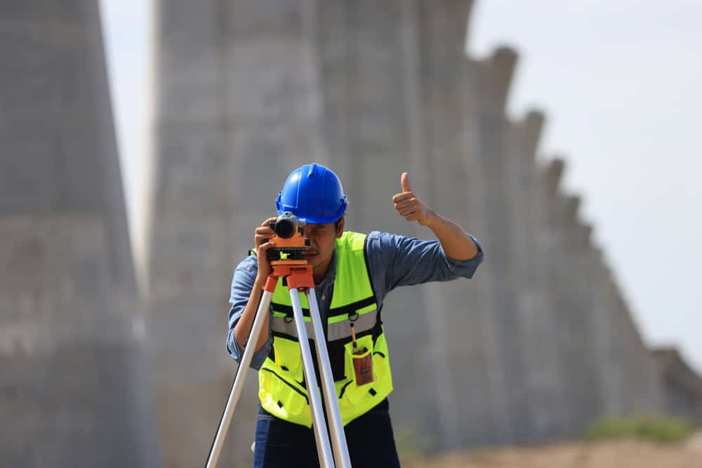
You receive detailed plats, legal descriptions, and reports that satisfy lenders and resolve property questions.