Summary:
Real Estate Transactions That Require Land Surveying
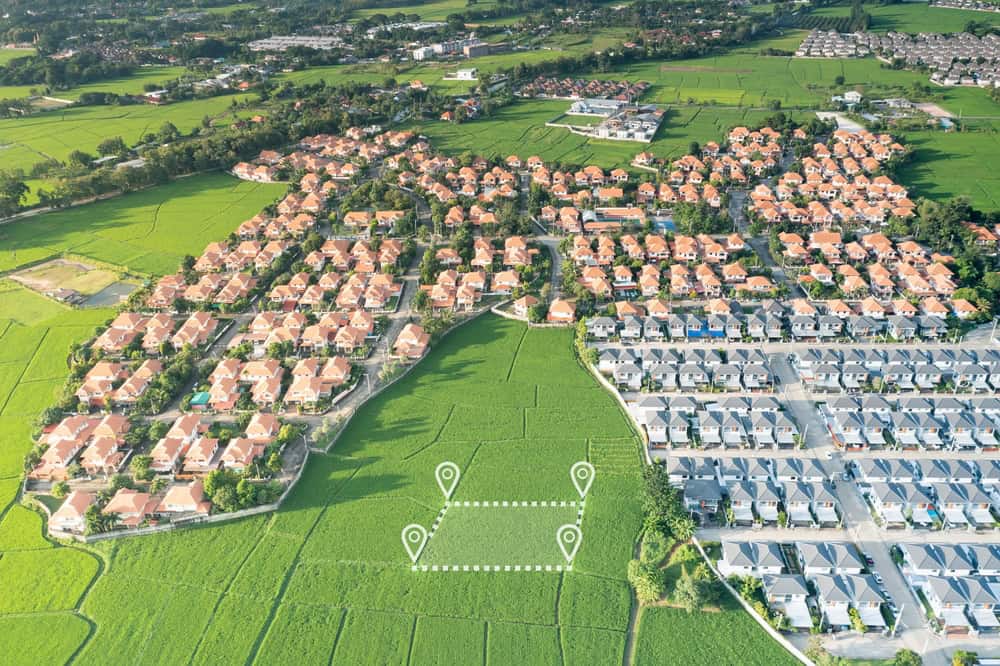
Most real estate transactions in Florida trigger the need for professional surveying, but not all buyers realize this upfront. Your mortgage lender will likely require a boundary survey before closing, especially for properties that haven’t been surveyed recently. Title companies also depend on current surveys to identify potential encroachments or easement issues that could derail your purchase.
The cost of a survey during your transaction is minimal compared to discovering boundary problems after you’ve already closed. Think of it as insurance for one of the biggest investments you’ll ever make.
Mortgage and Title Insurance Requirements
Lenders aren’t being difficult when they request a survey—they’re protecting their investment and yours. A mortgage survey confirms that the property boundaries match what’s described in your deed and that no structures from neighboring properties encroach on the land you’re buying. This protects the lender’s collateral and ensures you’re getting exactly what you’re paying for.
Title insurance companies use surveys to identify potential issues before they become expensive problems. If a neighbor’s fence, driveway, or building extends onto your property, you want to know before closing. These encroachment issues can prevent title companies from issuing insurance, which means your sale could fall through at the last minute.
FEMA elevation certificates are another common requirement, especially in flood-prone areas of Okeechobee County. These certificates determine your flood insurance rates and confirm that your property complies with local floodplain management regulations. We can complete both your boundary survey and elevation certificate, often at a discounted package rate.
The timeline matters too. Surveys typically take several days to complete, and rush jobs cost extra. Smart buyers request surveys early in the transaction process, giving themselves time to address any issues that surface before their closing date.
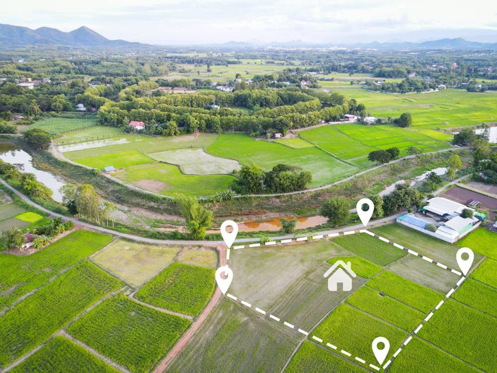
New Construction and Home Additions
Breaking ground without a current survey is like driving blindfolded—you might get lucky, but the risks are enormous. Building permits in Okeechobee County require accurate property boundary information to ensure your project complies with setback requirements. Build too close to your property line, and you could face expensive removal and reconstruction costs.
Construction surveys go beyond simple boundary identification. They establish elevation benchmarks, identify underground utilities, and mark areas where building is restricted due to easements or environmental concerns. This information guides your architect and contractor, preventing costly design changes mid-project.
Even smaller projects like fences, pools, or sheds benefit from professional surveying. What looks like a safe distance from your property line might actually encroach on your neighbor’s land. Removing a completed structure is always more expensive than getting the boundaries right from the start.
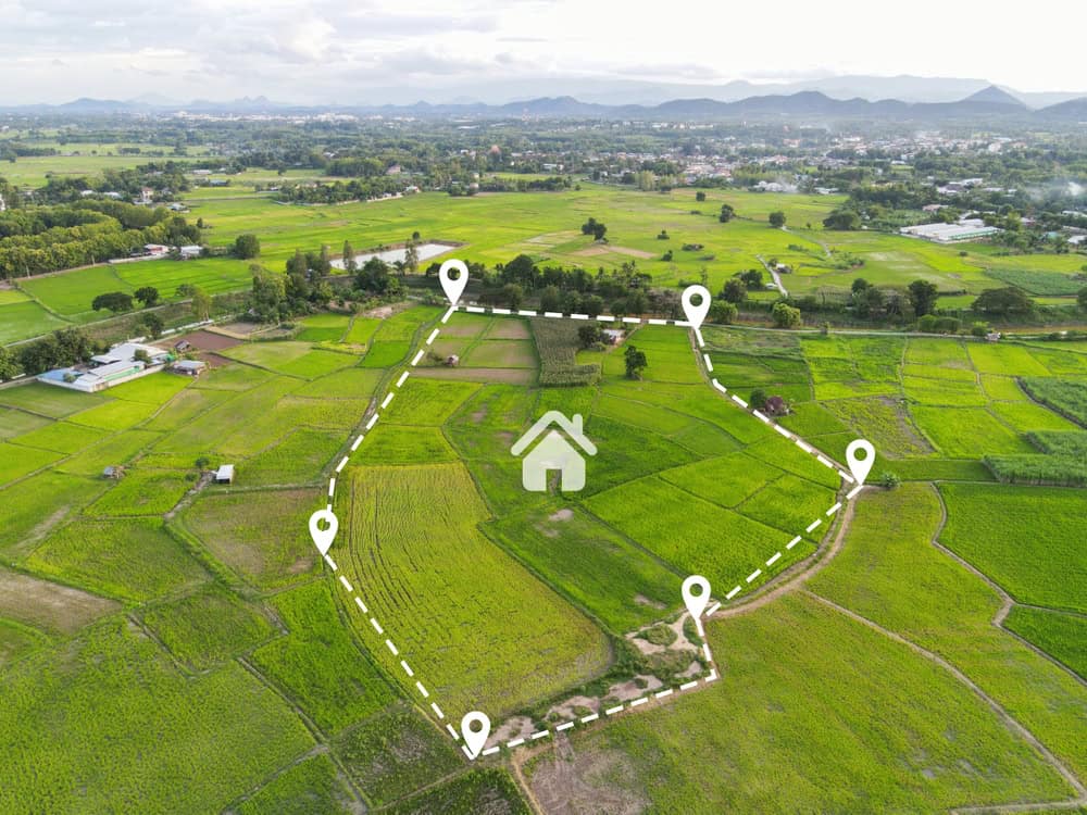
Florida’s frequent storms and changing landscape make older surveys less reliable over time. If your last survey is more than five years old, consider getting an updated one before starting any construction project. The investment in accurate boundaries pays for itself by preventing disputes and ensuring your project meets all local requirements.
Boundary Disputes and Property Line Issues
Neighbor disputes over property lines can escalate quickly from friendly disagreements to expensive legal battles. The good news is that most boundary disputes can be resolved with a professional survey that establishes the true property lines based on legal descriptions and physical markers.
Common triggers include new fences, landscaping projects, or structures that appear to cross property boundaries. Rather than guessing or relying on assumptions, we can provide definitive answers that hold up in court if necessary.
Signs You Need Professional Boundary Determination
Several red flags indicate it’s time to call a professional surveyor. If you can’t locate your property corner markers, or if the ones you find seem inconsistent with your deed description, a survey will establish the true boundaries. Missing or damaged survey monuments are common in Florida due to development, landscaping, and weather events.
Disagreements with neighbors about fence placement, tree trimming rights, or shared driveways often require professional resolution. Your neighbor’s insistence that their fence marks the true property line doesn’t make it legally accurate. Only a licensed surveyor can interpret deed descriptions and locate the actual boundaries.
Planning any improvements near what you think are your property lines? Get a survey first. Building setback requirements are measured from true property boundaries, not where you think they might be. A few inches can mean the difference between a legal structure and a costly violation.
Buying property with unclear or conflicting deed descriptions is another situation that demands professional surveying. Old deeds sometimes reference landmarks that no longer exist or use measurements that don’t match current standards. We can reconcile these discrepancies and establish clear, legally defensible boundaries.
Legal Protection and Documentation Benefits
Professional surveys provide legal documentation that protects your property rights and supports your position in any future disputes. Courts recognize properly conducted surveys as authoritative evidence of property boundaries, giving you solid ground to stand on if disagreements arise.
The survey report becomes part of your property’s permanent record, valuable for future sales, refinancing, or development projects. This documentation can prevent the same boundary questions from arising repeatedly, saving time and money for future property owners.
Insurance companies also rely on survey information when processing claims related to property damage or boundary disputes. Having current, professional survey documentation can expedite claim processing and support your coverage position when issues arise.
Beyond legal protection, surveys provide peace of mind. Knowing exactly where your property begins and ends eliminates the anxiety and guesswork that can strain neighbor relationships. Clear boundaries make good neighbors, and professional surveys make boundaries clear.
Modern surveying technology ensures accuracy that wasn’t possible with older methods. GPS systems, laser measurement tools, and computer-aided mapping create precise documentation that stands up to legal scrutiny and provides confidence for property owners making significant investments in their land.
Making the Right Choice for Your Property
The decision to hire a land surveyor ultimately comes down to protecting your investment and avoiding costly problems down the road. Whether you’re buying property, planning construction, or dealing with boundary questions, professional surveying provides the accurate information you need to make informed decisions.
Don’t wait until a dispute arises or a transaction stalls to address boundary questions. Proactive surveying prevents problems and provides the documentation you need for confident property ownership. When you’re ready for professional surveying services in Okeechobee County, Martin County, or Indian River County, we bring the expertise and technology to deliver accurate results you can trust.