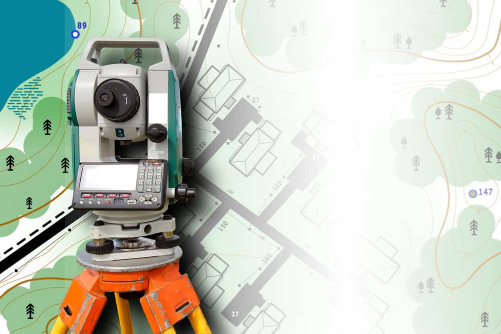
How Drone & GPS-Based Surveying Improves Accuracy and Saves Time for Property Owners and Developers
Modern surveying technology transforms how Martin County property owners and developers approach land measurement with unprecedented speed and precision.
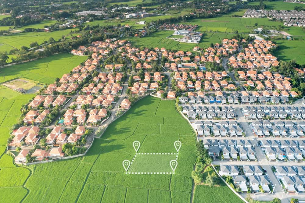
How Drone & GPS-Based Surveying Improves Accuracy and Saves Time for Property Owners and Developers
Modern surveying technology transforms how Martin County property owners and developers approach land measurement with unprecedented speed and precision.