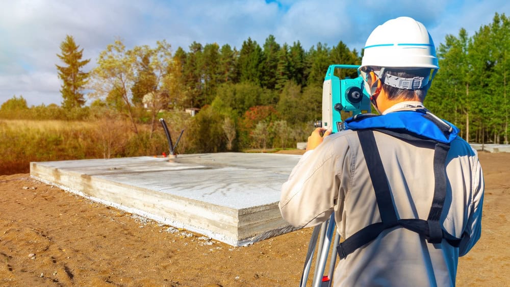
Our surveyors are licensed, experienced, and focused on accuracy, guaranteeing your projects avoid costly mistakes
Modern Surveying Technology
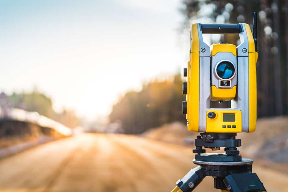
We use GPS, 3D laser scanning, and other modern tools to deliver detailed, actionable insights
Comprehensive Survey Services
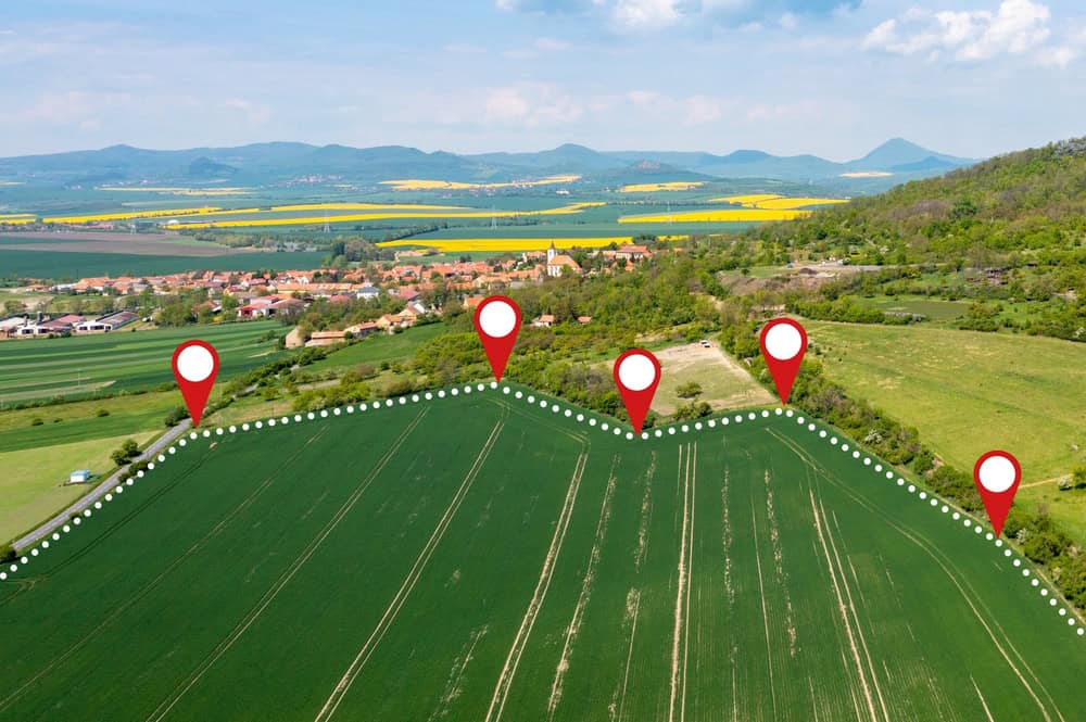
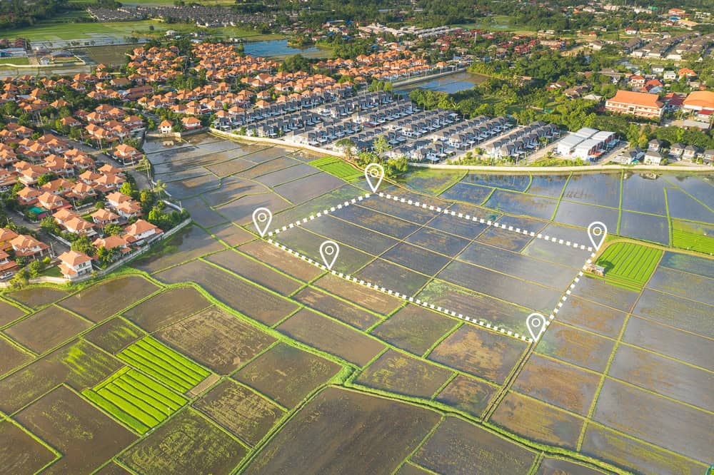
We offer a range of services, including boundary surveys, elevation certificates, and ALTA/NSPS land title surveys
Committed to Client Success
We are committed to making sure your project stays on track and give you regular updates throughout the process
Trusted Land Surveyor in Martin County, FL – AeroLand Surveyors
At Aero Land Surveyors, operating since 2022, we bring a modern approach to land surveying services across Florida. Regardless of ifyou’repurchasing property, building, or developing land, our licensed land surveyors accurately measure every boundary and feature, helping you avoid costly mistakes. We have offered detailed, intuitive surveys so you have the confidence to collaborate with the project via your input.
With modern and practical technology like GPS and 3D laser scanning, our experienced team offers various services and surveys that include:
Boundary surveys
Elevation certificates
Stakeouts
Architectural
Elevations
Residential
Commercial
ALTA/NSPS land title surveys
As one of Florida’s premier land surveying firms, we give you actionable insights so your project can succeed.Contact us today to learn how Aero Land Surveyors keeps your project starts consistent and on solid ground.
What Sets Aero Land Surveyors Apart
Diverse Data Collection Methods
We combine conventional ground-based methods with advanced airborne imaging for superior data collection.
High-Accuracy GPS Technology
Our GPS receiver technology guarantees precise measurements that support even the most complex projects.
Dedicated Account Managers
Each project is monitored by an account manager who keeps you informed every step of the way.
Advanced Hardware & Software Systems
Our powerful infrastructure allows us to accommodate a significant workload and maintain productivity.