Summary:
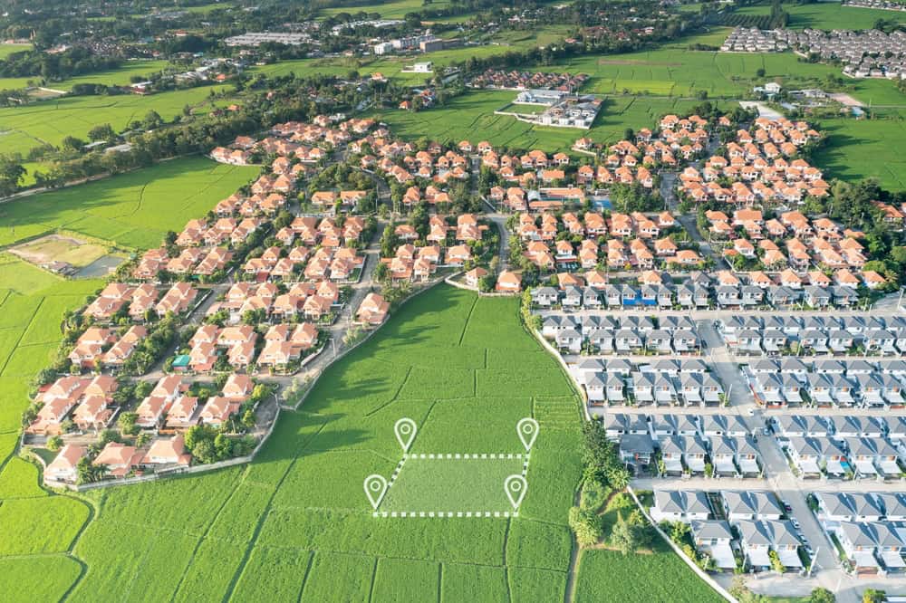
What Are Elevation and Contours in Land Surveying?
Elevation refers to the height of any point on your property measured above sea level, while contours are imaginary lines that connect points of equal elevation across your land. Think of contours like the lines on a topographic map that show you where the hills, valleys, and flat areas are located.
For construction projects, these measurements tell the complete story of your land’s terrain. A surveyor might find that your property slopes gently toward the back corner, has a significant hill in the center, or sits in a low-lying area that could affect drainage. This information directly impacts where you can build, how you’ll need to grade the land, and what kind of foundation work will be required.
Understanding elevation and contours helps architects and engineers design structures that work with your land’s natural features rather than fighting against them. This approach saves money, prevents future problems, and ensures your project meets local building codes and safety requirements.
How Property Surveyors Use GPS and Laser Technology for Accurate Measurements
Modern property surveyors rely on sophisticated technology to capture precise elevation and contour data. GPS units provide highly accurate positioning data with sub-centimeter accuracy, allowing surveyors to pinpoint exact locations and elevations across your property.
Laser scanning technology has revolutionized how surveyors collect topographic data. These systems emit laser beams and measure the time it takes for the beams to return after hitting surfaces, creating detailed three-dimensional representations of your land. This process captures thousands of data points quickly and accurately, building a comprehensive picture of every elevation change and terrain feature.
Total stations represent another critical tool in the surveyor’s arsenal. These optical instruments measure angles and distances to calculate precise coordinates of points across your property. They’re particularly effective for both small residential lots and large commercial developments, providing the accuracy needed for construction planning.
Electronic distance measurement (EDM) instruments work alongside GPS and laser systems to verify measurements and ensure accuracy. Surveyors often use multiple technologies together, cross-checking their data to eliminate errors and provide the most reliable results possible.
The combination of these technologies allows surveyors to work efficiently while maintaining the high accuracy standards required for construction projects. Weather conditions, terrain challenges, and site accessibility all factor into which tools surveyors use, but the goal remains the same: capturing precise elevation and contour data that construction professionals can trust.
Creating Contour Lines and Digital Elevation Models
Once surveyors collect elevation data across your property, they process this information to create contour lines and digital elevation models. Contour lines connect points of equal elevation, creating a visual representation of your land’s topography that shows slopes, peaks, valleys, and flat areas.
The spacing between contour lines tells an important story about your terrain. Lines drawn close together indicate steep slopes or significant elevation changes, while lines spaced farther apart represent gentle slopes or relatively flat areas. This visual information helps construction teams understand where they might face grading challenges or need specialized foundation work.
Digital elevation models take this concept further by creating three-dimensional computer representations of your property. These models allow architects and engineers to visualize how proposed structures will fit into the existing landscape and identify potential issues before construction begins.
Surveyors typically create contour intervals based on the project’s needs and local requirements. For residential projects, contour intervals might be set at one or two-foot increments, while larger commercial developments might use five or ten-foot intervals. The key is providing enough detail to support accurate design and planning decisions.
Modern surveying software processes the collected data points and generates smooth, accurate contour lines that represent the true shape of your land. This digital approach eliminates much of the guesswork that once characterized topographic surveying and provides construction teams with reliable data they can use throughout the building process.
The final topographic survey shows not just elevation and contours, but also existing structures, utilities, trees, and other features that might affect construction. This comprehensive view gives everyone involved in your project the information they need to make informed decisions about design, placement, and construction methods.
Why Elevation and Contour Data Matters for Construction Projects
Accurate elevation and contour data forms the foundation of every successful construction project. Without this information, architects can’t design appropriate foundations, engineers can’t plan proper drainage, and contractors can’t estimate grading costs accurately.
Building codes require this data for good reason. Structures built without understanding the underlying topography often face drainage problems, foundation issues, or compliance violations that can be expensive to fix after construction is complete. Smart property owners get topographic surveys early in the planning process to avoid these costly surprises.
The data also helps construction teams plan site access, equipment placement, and material delivery. A steep slope might require special equipment or alternative access routes, while low-lying areas might need additional drainage considerations before construction can begin.

Drainage Planning and Water Management
Proper drainage planning represents one of the most critical applications of elevation and contour data in construction projects. Water naturally flows downhill, following the path of least resistance, and understanding your property’s topography helps engineers design drainage systems that work with these natural patterns.
Surveyors identify high points, low points, and the direction water will flow across your property during rain events. This information helps architects position buildings to avoid water accumulation and guides engineers in designing gutters, downspouts, and site drainage that direct water away from structures.
In Florida’s climate, where heavy rainfall and seasonal storms are common, effective drainage planning can prevent costly water damage and foundation problems. Properties in Martin County, Okeechobee County, and Indian River County face unique challenges related to seasonal weather patterns and proximity to water bodies.
Contour data also helps identify potential flooding risks and ensures compliance with local floodplain regulations . Construction teams can use this information to elevate structures appropriately and design drainage systems that handle expected water volumes.
Poor drainage planning often leads to standing water, erosion problems, and foundation settlement issues that can be expensive to address after construction is complete. The elevation and contour data from a professional topographic survey provides the foundation for drainage solutions that protect your investment long-term.
Engineers use sophisticated modeling software to simulate water flow patterns based on the surveyed topography, helping them optimize drainage design before construction begins. This proactive approach prevents problems and ensures your project meets all applicable codes and regulations.
Foundation Design and Site Preparation Requirements
Foundation design depends heavily on understanding the elevation changes and soil conditions across your building site. Surveyors provide the topographic data that structural engineers need to design foundations that can handle varying elevation levels and soil conditions safely.
Significant elevation changes might require stepped foundations, retaining walls, or specialized foundation systems that accommodate the natural terrain. This information helps contractors prepare accurate bids and avoid unexpected costs during construction.
Site preparation costs vary dramatically based on the amount of cut and fill work required to achieve proper building elevations. The topographic survey data allows contractors to calculate exactly how much soil needs to be moved, where it can be redistributed on-site, and what additional materials might be needed.
Steep slopes might require terracing or retaining walls to create buildable areas, while low spots might need fill material to achieve proper drainage away from structures. Understanding these requirements early in the planning process helps property owners budget accurately and avoid construction delays.
The elevation data also helps determine the best placement for utilities, septic systems, and other infrastructure elements that must work with the natural topography. Proper planning at this stage prevents costly relocations or modifications during construction.
Modern construction techniques can accommodate almost any topography, but the key is having accurate data to guide design decisions. Professional surveyors provide the precise elevation and contour information that makes informed planning possible, ultimately saving time and money while ensuring successful project outcomes.
Getting Professional Elevation and Contour Surveys in Florida
Measuring elevation and contours accurately requires specialized equipment, technical expertise, and thorough knowledge of local regulations. Professional property surveyors combine advanced GPS technology, laser scanning, and traditional surveying methods to capture the precise data your construction project needs.
The investment in a professional topographic survey pays dividends throughout your project by preventing costly mistakes, ensuring code compliance, and providing the foundation for smart design decisions. Whether you’re planning a residential addition, commercial development, or major construction project, accurate elevation and contour data is essential for success.
When you’re ready to move forward with your construction project in Martin County, Okeechobee County, or Indian River County, we provide the expertise and advanced technology needed to measure your property’s elevation and contours accurately. Our licensed surveyors understand Florida’s unique terrain challenges and regulatory requirements, ensuring your project starts with the reliable data it needs to succeed.