Summary:
Why Topographic Surveying Is Critical for Golf Course Success
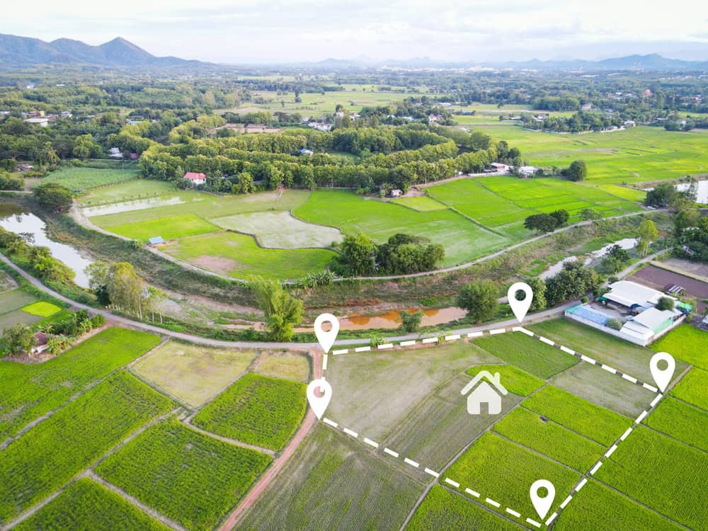
Every successful golf course starts with understanding the land itself. Topographic surveying captures the three-dimensional reality of your property – every hill, valley, slope, and natural drainage pattern that will influence your course for decades.
This isn’t just about drawing pretty contour lines on a map. Modern golf course surveying uses advanced technology to collect incredibly dense data – up to 30 points per cubic foot – creating detailed digital models that show exactly how water moves across your property. This level of precision helps architects design courses that work with the natural landscape instead of fighting against it.
The data becomes the foundation for every major decision: where to place tees and greens, how to route cart paths, and most importantly, how to handle drainage throughout the property.
How Modern Survey Technology Transforms Golf Course Planning
Gone are the days when golf course surveying meant weeks of crews trudging through rough terrain with traditional equipment. Today we use drone technology and advanced GPS systems to capture comprehensive site data in a fraction of the time.
An average 18-hole golf course can go from signed surveying contract to quality-controlled deliverables in as little as two weeks. That’s a game-changer for project timelines. Drones equipped with specialized sensors can model golf courses with precision down to half-inch contours on greens and one-foot accuracy across fairways and rough areas.
This technology proves especially valuable on challenging Florida sites. Think about properties with heavy vegetation, wetlands, or areas that flood seasonally – terrain that would be difficult or dangerous to survey using traditional methods. The result? Incredibly detailed topographic information that includes everything from existing trees and water features to underground utilities and drainage systems.
We use up to 100 different codes during a typical golf course survey to identify and map every significant feature. This includes obvious elements like existing greens, tees, and bunkers, but also critical infrastructure like irrigation lines, electrical cables, and drainage pipes that could impact construction. Miss these during planning, and you’re looking at expensive surprises later.
We deliver the comprehensive data in multiple formats – hard copy plans, PDFs for easy sharing, and 3D digital files compatible with CAD software that architects and engineers use for design work. This flexibility ensures everyone on your project team can access and work with the survey data in whatever format works best for their specific needs.
Understanding Drainage Patterns Through Professional Surveying
Here’s a reality that catches many golf course developers off guard: drainage problems are the number one cause of long-term maintenance headaches and cost overruns. Professional land surveying identifies these issues before they become expensive problems.
A typical 18-hole course covers around 125 acres, and understanding how water moves across this entire area requires detailed analysis of surface contours and natural drainage patterns. Professional topographical surveys provide this essential data, showing exactly where water will collect, how it flows during heavy rains, and where drainage systems need to be installed.
This becomes especially critical in Florida. We’re talking about afternoon thunderstorms that dump inches of rain in minutes, plus hurricane-level rainfall that can overwhelm inadequate drainage systems. Survey data helps engineers design drainage systems that can handle these extreme conditions while maintaining playable conditions year-round.
The surveying process captures elevation data that reveals subtle slopes and depressions that might not be obvious to the naked eye but dramatically affect water movement. A depression that’s only two feet lower than surrounding areas can become a persistent wet spot that affects play and maintenance for decades. This information guides decisions about fairway grading, green placement, and the spacing of drainage systems throughout the course.
Proper drainage design based on accurate survey data prevents the waterlogging problems that plague courses built without comprehensive site analysis. It also helps identify the best locations for water features like ponds and streams that can serve both aesthetic and functional drainage purposes. Smart planning turns potential problems into course features.
How Survey Data Guides Golf Course Architecture and Design
Golf course architects don’t just create beautiful layouts – they solve complex puzzles using the three-dimensional reality of your property. Survey data provides the pieces they need to create courses that are both visually stunning and strategically challenging.
Detailed topographic information reveals the natural character of your land and helps architects identify the best areas for different types of holes. Rolling terrain might be perfect for dramatic elevation changes, while flatter areas could accommodate longer par-5s or practice facilities. Natural features become opportunities rather than obstacles.
The survey data also shows architects how to work with existing features like mature trees, rock outcroppings, or natural water bodies that can become signature elements of the course design.

Strategic Hole Placement Based on Survey Analysis
Every great golf hole tells a story, and that story starts with understanding the natural landscape revealed through professional surveying. Architects use elevation data and contour information to determine optimal placement for tees, fairways, and greens that create interesting and fair challenges for golfers.
Survey data shows subtle elevation changes that might only vary by a few feet but dramatically affect how a hole plays. A slightly elevated tee can provide better views and longer carries, while a green positioned in a natural bowl creates interesting approach shot challenges and helps with drainage. These aren’t random design choices – they’re strategic decisions based on hard data.
The comprehensive mapping of existing features helps architects identify natural hazard locations where bunkers or water features will feel integrated into the landscape rather than artificially imposed. This creates more memorable and strategic golf holes that feel like they’ve always belonged on the property. Players notice the difference, even if they can’t articulate why.
We capture data about existing vegetation, including the location and size of significant trees that might influence hole routing or provide natural framing for fairways and greens. In Florida, this might include preserving mature live oaks or working around protected wetland areas. This information helps architects preserve the most valuable existing features while identifying areas where clearing might be necessary.
Understanding slope angles and drainage patterns also guides green design, ensuring that putting surfaces have appropriate breaks and movement while maintaining proper drainage. Survey data helps determine optimal green sizes and shapes that work with the natural contours of the land. The result? Greens that are challenging but fair, and that won’t develop drainage problems over time.
Construction Planning and Cost Control Through Accurate Surveying
Here’s where accurate surveying pays for itself many times over: proper site analysis prevents costly construction surprises and change orders that can blow your budget. Detailed survey data allows contractors to plan earthwork efficiently and identify potential challenges before construction begins.
Cut and fill calculations based on precise elevation data help determine exactly how much soil needs to be moved and where it can be redistributed on-site. This reduces the need to import or export dirt, which can represent significant cost savings on large golf course projects. We’re talking about potentially hundreds of thousands of dollars in savings on major projects.
Survey data also reveals the location of underground utilities, existing drainage systems, and other infrastructure that could complicate construction. Knowing about these features in advance allows for proper planning and helps avoid expensive delays when crews encounter unexpected obstacles. Nothing kills a construction schedule like hitting an unmarked utility line or discovering an old septic system.
The detailed topographic information supports accurate project scheduling by helping contractors understand which areas of the course can be worked on simultaneously and which phases need to be completed in sequence. This coordination becomes especially important on renovation projects where parts of the course need to remain playable during construction.
Professional surveying also provides the baseline documentation needed for as-built surveys once construction is complete. This creates an accurate record of the finished course that proves invaluable for future maintenance planning and any additional improvements or modifications. Think of it as creating a permanent reference that helps with everything from irrigation repairs to future renovations.
Modern survey technology allows for regular progress monitoring during construction, ensuring that the built course matches the approved design plans and maintaining quality control throughout the project. This ongoing verification prevents small errors from becoming big problems.
Getting Your Golf Course Project Started Right
The foundation of every successful golf course project lies in comprehensive, professional land surveying that captures the true character and challenges of your property. This critical first step determines whether your course becomes a well-drained, strategically interesting layout or struggles with maintenance problems for years to come.
Modern surveying technology makes it possible to gather incredibly detailed site data quickly and accurately, providing architects and engineers with the information they need to create courses that work with your land’s natural features. The investment in professional surveying pays dividends throughout construction and for decades of successful course operations.
When you’re ready to move forward with your golf course project, partnering with experienced professionals who understand the unique surveying requirements of golf course development makes all the difference. We bring the expertise and technology needed to provide the comprehensive site analysis that sets your project up for success.