Summary:
What Exactly Happens During a Boundary Survey Process
A boundary survey determines the location of property lines and the monuments that mark the property corners of a parcel of land as described in a deed. Think of it as creating a definitive map of what you actually own versus what you think you own.
The process starts long before anyone sets foot on your property. We examine the deed for the property as well as possibly your neighbor’s deed. These deeds are normally located in the Probate office in the county courthouse. This research phase is crucial because it reveals the legal foundation of your property boundaries.
Once the paperwork is sorted, the real detective work begins in the field.
Step-by-Step Field Work: How We Mark Your Boundaries
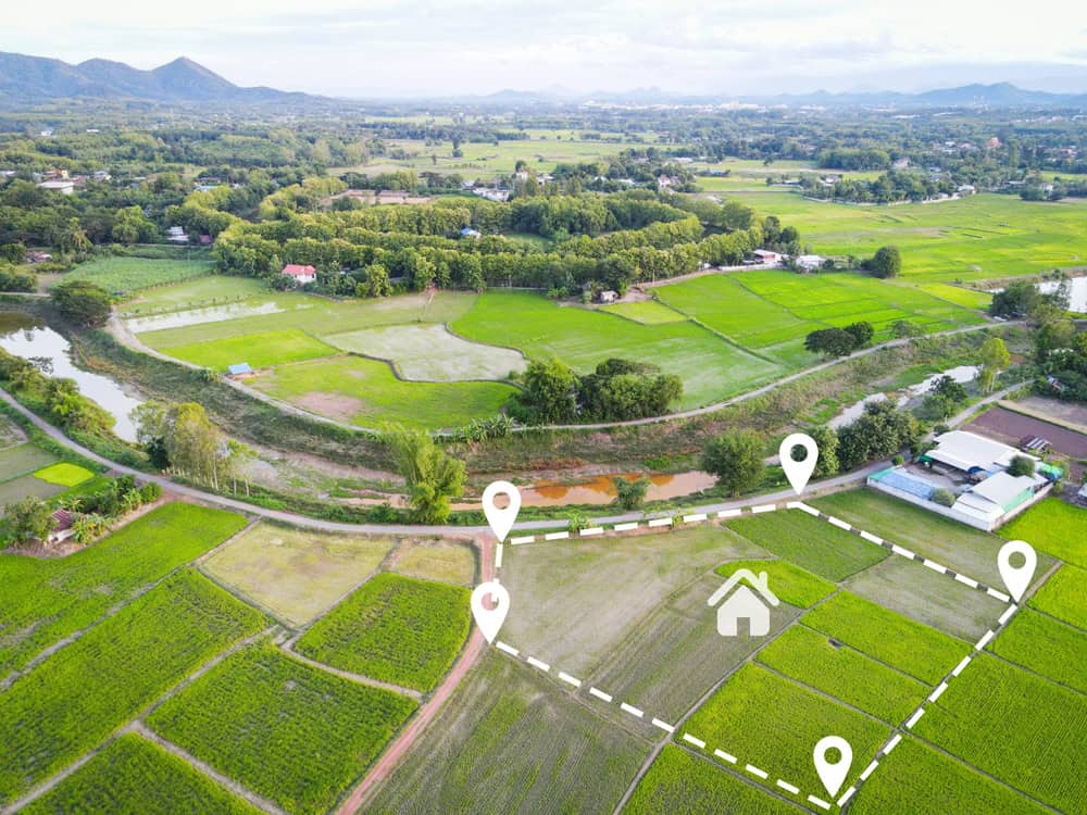
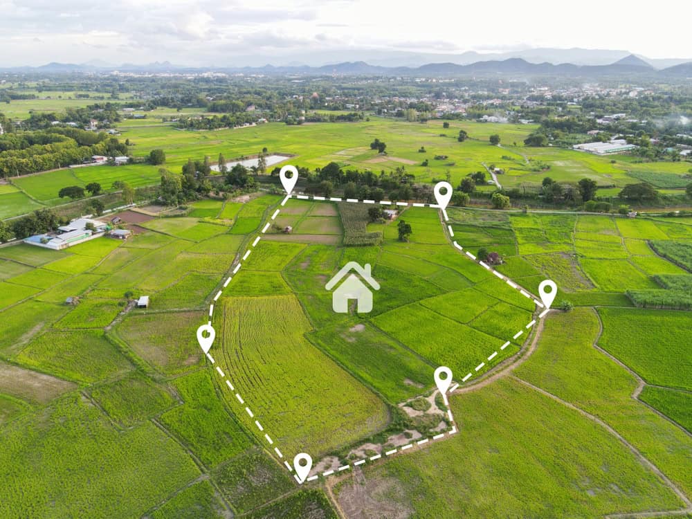
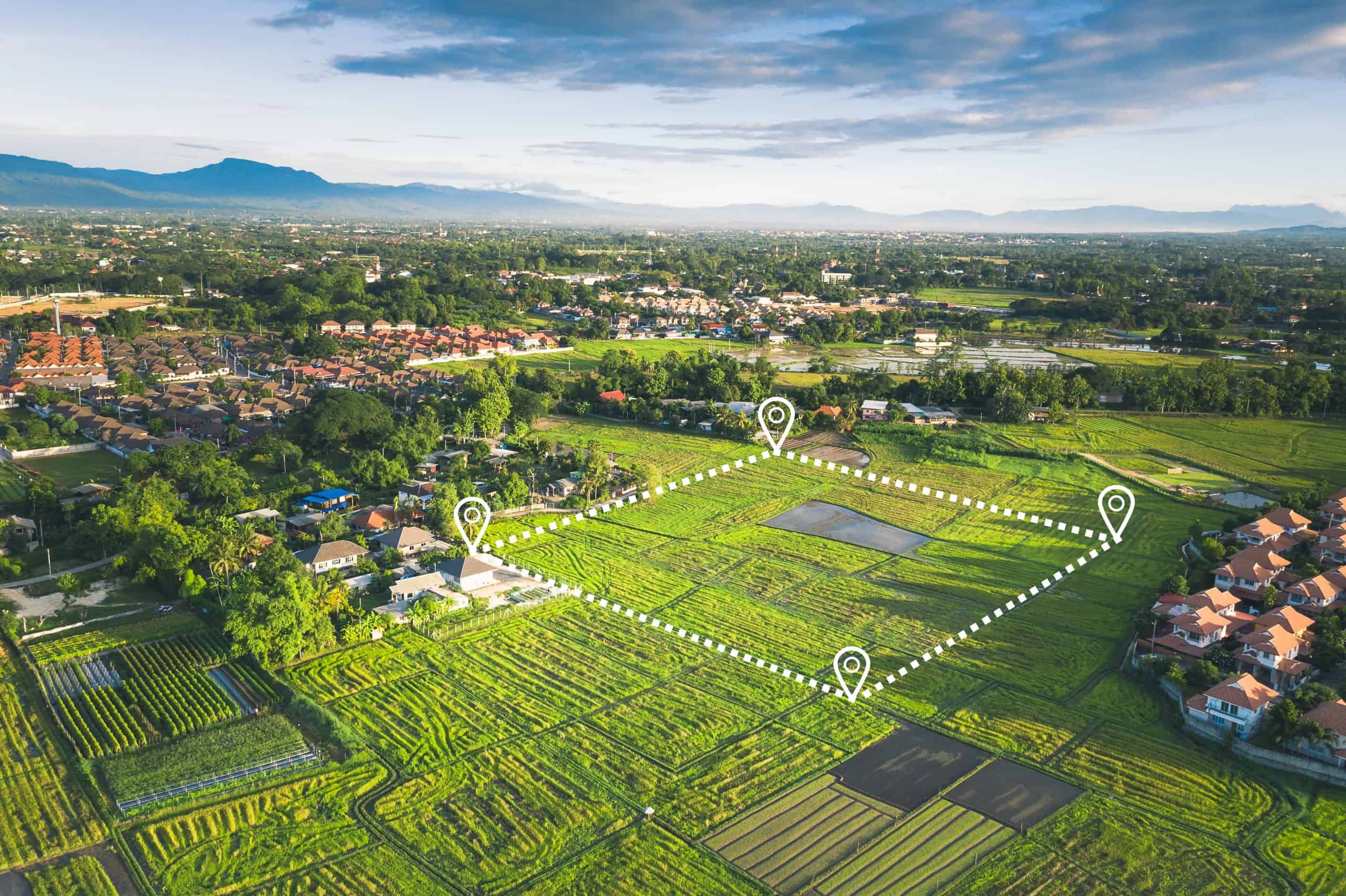
The field work is where theory meets reality, and sometimes they don’t match up perfectly. The field work begins by locating all available monuments. Monuments (iron pipes, rebar, concrete posts, fence corners, corner trees, etc.) are typically found at property corners.
Here’s where it gets interesting. If they are not called for in the deed, we must try to determine if they are in the proper location. This process involves running a “traverse” around the property in order to determine the relationship between all of the points, which are expressed in terms of the “bearings and distances”. Normally, if all the bearings and distances are relatively close to the deed calls then we will accept the monuments found as representing the property corners.
But what happens when things don’t line up? If there are significant differences, then more land surveying must be done in order to determine the proper location for the corner. During the boundary survey process, we also take into account the neighboring property deeds, and the long term acceptance of the corners found.
We aren’t just measuring—we’re solving puzzles that might have been created decades ago. In Florida, there may be land records with surveys that are outdated and not as accurate as those done today with technological advances like CAD or GPS. The land’s markers may have moved or traveled over time, as well. The survey will identify any discrepancies between the recorded instruments and the ground itself.
Once everything checks out, you’ll see the results. After the survey is completed the land owner should expect that the property corners are marked or flagged in some way. We usually use either brightly colored surveyors ribbon or paint. There may also be a wooden stake placed beside the corner marker as a “witness” to the monument.
The Final Documentation: Your Legal Protection
The physical markers are just the beginning. The land survey should produce a drawing of the results of the boundary survey. Except in very rare circumstances, state law requires the preparation of a drawing. The survey drawing provides the landowner with a permanent record of the survey.
This isn’t just a nice-to-have document. If any of the monuments are lost they can be replaced with the information shown on the survey drawing. One main requirement is that the survey drawing provide the legal description of the property. Think of this drawing as your property’s birth certificate—it’s the official record of what you own.
Our work goes beyond just drawing lines on paper. During the process of preparing a Boundary Survey, we work in unison with the purchaser’s attorney and title company to ensure that exceptions (easements, access, zoning, etc.) are properly identified and documented.
What makes this documentation so powerful? One of the key ways a Florida boundary survey prevents property line disputes is by providing a legal document that clearly states who owns the property and where the boundaries lie. This official survey serves as irrefutable evidence of ownership, marking specific demarcation points and highlighting any encroachments or easements. The American Land Title Association (ALTA) emphasizes that a property survey is critical in preventing disputes, as it offers legally recognized documentation that clarifies ownership and boundary issues before conflicts can arise.
The bottom line? This documentation doesn’t just tell you where your property ends—it gives you the legal ammunition to defend those boundaries if anyone challenges them.
Why Boundary Surveys Are Critical Before Buying Florida Land
Land surveys (more properly called a “certified property boundary report”) are not required under Florida law, but they are a very good idea before finalizing a transaction. Just because you don’t legally have to get one doesn’t mean you should skip it.
In summary, the main reason you should get a property survey in Florida is to avoid problems further down the line. From violating state laws to disputes with neighbors and utility companies, you deserve to know the fine details about the property you’re buying. The question isn’t whether you can afford a survey—it’s whether you can afford not to get one.
Property Boundary Disputes: The Expensive Reality
Here’s a scenario that plays out more often than you’d think: You buy your dream property, put up a fence, and suddenly your neighbor is at your door with a lawyer. Regardless of how long the property owner has lived in the home, or how established the neighborhood is, lawyers all too often negotiate boundary disputes between the owner and neighbors. Here, property owners have been assuming that their property lines were in one place, when in actuality the legal description determines their boundaries.
The financial impact can be devastating. That can pose a serious threat for any new buyer who wants to install a fence or make changes to the surrounding land – as a neighbor might dispute it. A property survey takes care of that. When the land is purchased, you’ll know exactly where the boundary lines are and have admissible expert evidence.
But boundary disputes aren’t just about fences. In some cases, property owners may be unaware of encroachments or easements that could affect their land rights. Encroachments are unauthorized structures, such as fences, sheds, or driveways, that extend from neighboring properties onto your land. Over time, these encroachments could potentially lead to adverse possession claims, where the neighboring party may claim ownership of part of your property due to continuous use.
The cost of fighting these disputes in court can easily reach tens of thousands of dollars. Compare that to the typical boundary survey cost in Florida, which can be $300 to $800, and the math becomes pretty clear.
What’s particularly frustrating is that many of these disputes could be avoided entirely. By having a professionally conducted survey, property owners can prevent costly and contentious property line disputes before they even arise. It’s like buying insurance before you need it—except this insurance actually prevents the accident from happening in the first place.
Hidden Violations and Costly Surprises
Buying property without a survey is like buying a car without looking under the hood. You might get lucky, or you might inherit someone else’s expensive problems. One byproduct of the survey is that if anything on the land is in violation of Florida law, you’ll know it ahead of time. This is important because, in most cases, you become immediately responsible for any violations if you purchase the property.
What kinds of violations are we talking about? The survey will also reveal if a violation of the setback exists on the land. If so, then the issue will need to be corrected by the seller before the buyer closes on the transaction. Setback violations might not sound dramatic, but fixing them can involve tearing down structures, moving driveways, or even demolishing parts of buildings.
Then there are the utility issues that most buyers never consider. In Florida, the state’s unique environmental characteristics require the careful placement of residential utilities. A property survey will reveal the existing utilities, such as drains, sewer systems, utility poles and power cables. As a buyer, you should be aware of any violations and also to foresee any potential changes – such as if a utility provider has access to the site and needs to cut back trees.
Here’s where it gets expensive: If a Florida utility provider has a right of access to a utility located on your property, they can require you to pay to remove trees or limit additional improvements (such as extending the home or building a pool or deck). Imagine planning your dream pool only to discover that the utility company has the right to dig up your backyard whenever they need to service their lines.
The financial protection alone makes the survey worthwhile. Buyers can rectify survey issues before closing by requiring the seller to fix the problem (i.e. removing a fence or removing an other item encroaching into an easement). After closing? That becomes your problem and your expense.
Making the Smart Choice: Protecting Your Florida Property Investment
The boundary survey process in Florida isn’t complicated, but it is comprehensive. From deed research to field measurements to final documentation, every step serves a purpose: protecting your investment and preventing costly surprises down the road.
The main reason you should get a property survey in Florida is to avoid problems further down the line. From violating state laws to disputes with neighbors and utility companies, you deserve to know the fine details about the property you’re buying. For a typical investment of $300 to $800, you’re buying peace of mind and legal protection that could save you tens of thousands later.
When you’re ready to move forward with confidence, Aero Land Surveyors brings the expertise and advanced technology you need for accurate, reliable results in Martin County, Okeechobee County, and Indian River County.