Boundary Survey in North River Shores, FL

Residential Boundary Surveying in Martin County

Define your property with certainty. Aero Land Surveyors’s residential boundary surveys in North River Shores, FL provide precise property line locations, giving you the tranquility you deserve.
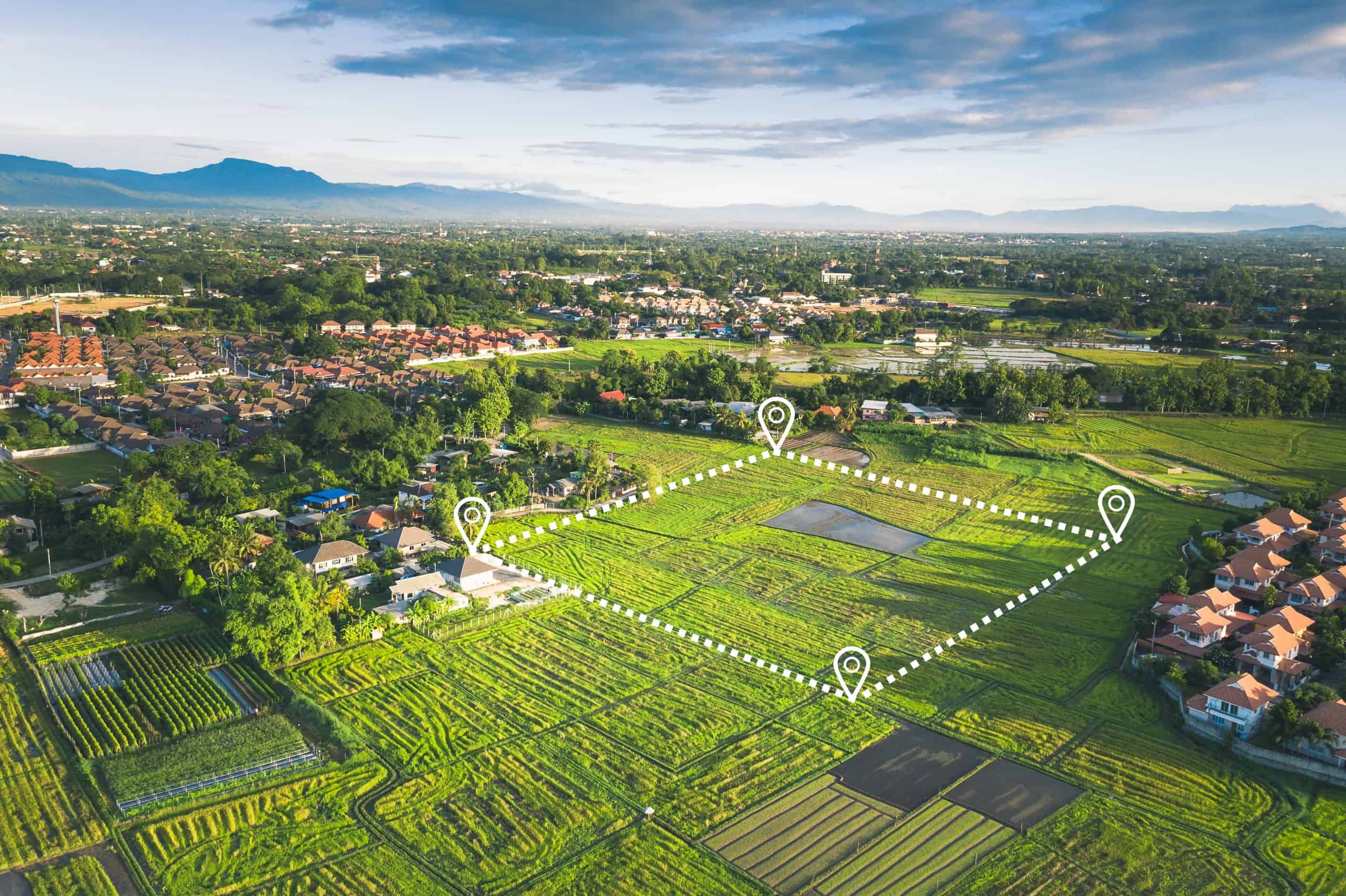
Aerial view of a lush green rural landscape with rice fields surveyed by Land Surveyors Indian River County. White lines and pins mark a rectangular plot of land. Nearby, houses and a small village are surrounded by trees and distant blue mountains under a partly cloudy sky.

Hear from Our Customers

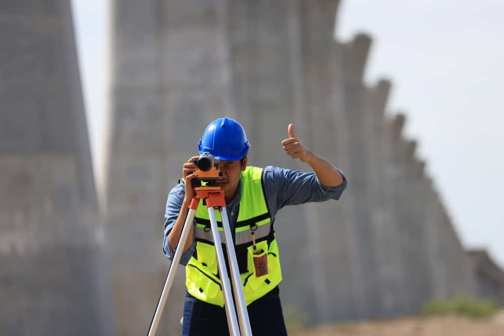
A construction worker in a blue hard hat and high-visibility vest confidently uses a theodolite for surveying, giving a thumbs-up gesture. Concrete structures form the backdrop, symbolizing the precision that land surveyors in Indian River County are known for.

What is the Importance of a Residential Boundary Survey in North River Shores, FL?

Four Ways a Boundary Survey Protects Your Property in North River Shores
  • Clearly defined property lines prevent disagreements with neighbors.
  • Accurate boundary information helps avoid building code violations.
  • A survey assists in making decisions about landscaping and construction.
  • Documented boundaries are essential for property transactions.
  • Residential Boundary Survey Company in Martin County

    Experienced Land Surveyors Nearby

    Aero Land Surveyors is a team of seasoned land surveyors serving Martin County. We specialize in residential boundary surveys in North River Shores, FL, using renowned devices to provide the best results for your projects. Clear and accurate property lines are essential, and we take a thorough, detail-focused approach to meet your needs. With years of experience in Martin County, our reputation makes us the go-to choice for property surveys.


    Three construction workers in safety gear, including helmets and reflective vests, discuss plans at a construction site. One holds a blueprint, while another takes notes. Behind them, Land Surveyors from Martin County work alongside a cement mixer truck and other busy crew members.

    Our Residential Boundary Survey Process in FL

    Simplified Steps for Your Residential Boundary Survey
  • Consultation: We discuss your project and gather property information.
  • Fieldwork: Our surveyors conduct a detailed survey using advanced equipment.
  • Report: You receive a complete survey report with clearly marked boundaries.
  • A surveyor wearing a blue hard hat and high-visibility jacket stands outdoors amidst the cloudy backdrop, holding equipment next to a tripod-mounted instrument, representing the precision and expertise of Land Surveyors in Indian River County.

    Ready to get started?

    Explore More Services

    About Aero Land Surveyors

    Get a Free Consultation

    Residential Boundary Survey in North River Shores; Your Next Step

    Trust Aero Land Surveyors for Accurate Boundary Surveys in Martin County

    A residential boundary survey is a fundamental step for any homeowner in North River Shores, FL. It provides important facts and figures about your property lines, preventing disputes and informing your decisions. Aero Land Surveyors’s skilled surveyors use high-level equipment, including robotic total stations and GPS receivers, to obtain our measurements. We then create detailed maps that clearly show your property boundaries. These maps are vital for construction, landscaping, and resolving any property line questions. Contact Aero Land Surveyors today to schedule your residential boundary survey in North River Shores and gain clarity about your property.
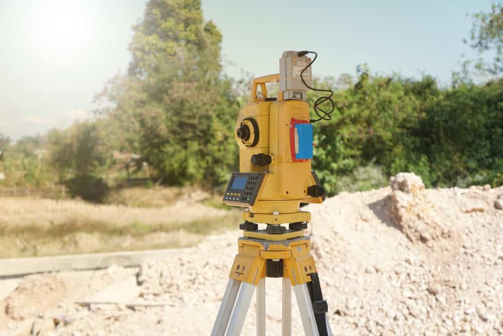
    A yellow total station stands on a construction site tripod, bathed in sunlight. In the background, trees and a pile of dirt hint at ongoing surveying work by land surveyors in Okeechobee County, capturing the essence of their meticulous craft in a rural setting.

    North River Shores is located at 27°13′23″N 80°16′15″W / 27.22306°N 80.27083°W (27.222999, -80.270851).

    According to the United States Census Bureau, the CDP has a total area of 1.9 square miles (4.9 km2), of which 1.3 square miles (3.4 km2) is land and 0.6 square miles (1.6 km2) (32.64%) is water.

    Learn more about North River Shores.