Boundary Survey in Roseland, FL

Credible Property Line Surveys in Indian River County

Protect your property investment. Aero Land Surveyors’s boundary surveys in Roseland, FL offer the property line information you need.

Aerial view of a lush green rural landscape with rice fields surveyed by Land Surveyors Indian River County. White lines and pins mark a rectangular plot of land. Nearby, houses and a small village are surrounded by trees and distant blue mountains under a partly cloudy sky.

Hear from Our Customers

A construction worker in a blue hard hat and high-visibility vest confidently uses a theodolite for surveying, giving a thumbs-up gesture. Concrete structures form the backdrop, symbolizing the precision that land surveyors in Indian River County are known for.

Are Boundary Surveys in Roseland, FL Helpful?

Aero Land Surveyors's Boundary Survey in Roseland
  • Eliminate uncertainty about your property’s true boundaries.
  • Avoid costly legal battles with neighbors over property lines.
  • Make wise decisions about building fences, additions, or landscaping.
  • Confidently navigate property transactions with clear boundary documentation.
  • Boundary Survey Professionals in Indian River County

    Your Local Boundary Survey Specialists

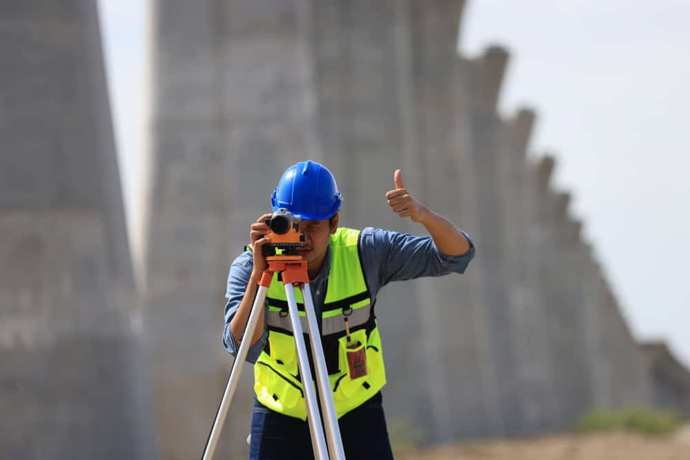
    Aero Land Surveyors has been serving Indian River County for many years. We are a team of highly trained land surveyors specializing in boundary surveys in Roseland, FL. Using advanced surveying techniques like traverse surveying and real-time kinematic (RTK) GPS, we measure your property lines and undergo mapping for accurate property construction and other improvements. We’re thrilled to be providing timely surveys so that you don’t experience any delays in getting started.

    Three construction workers in safety gear, including helmets and reflective vests, discuss plans at a construction site. One holds a blueprint, while another takes notes. Behind them, Land Surveyors from Martin County work alongside a cement mixer truck and other busy crew members.

    Boundary Survey Process in FL

    What to Expect from Your Aero Land Surveyors Boundary Survey
  • Initial Consultation: We discuss your goals and property requirements.
  • Surveying: Our team conducts fieldwork, taking precise measurements.
  • Delivery: We provide a survey report, including a detailed map.
  • A surveyor wearing a blue hard hat and high-visibility jacket stands outdoors amidst the cloudy backdrop, holding equipment next to a tripod-mounted instrument, representing the precision and expertise of Land Surveyors in Indian River County.

    Ready to get started?

    Explore More Services

    About Aero Land Surveyors

    Get a Free Consultation

    Boundary Survey in Roseland; Protecting Your Interests

    Rely on Aero Land Surveyors in Indian River County

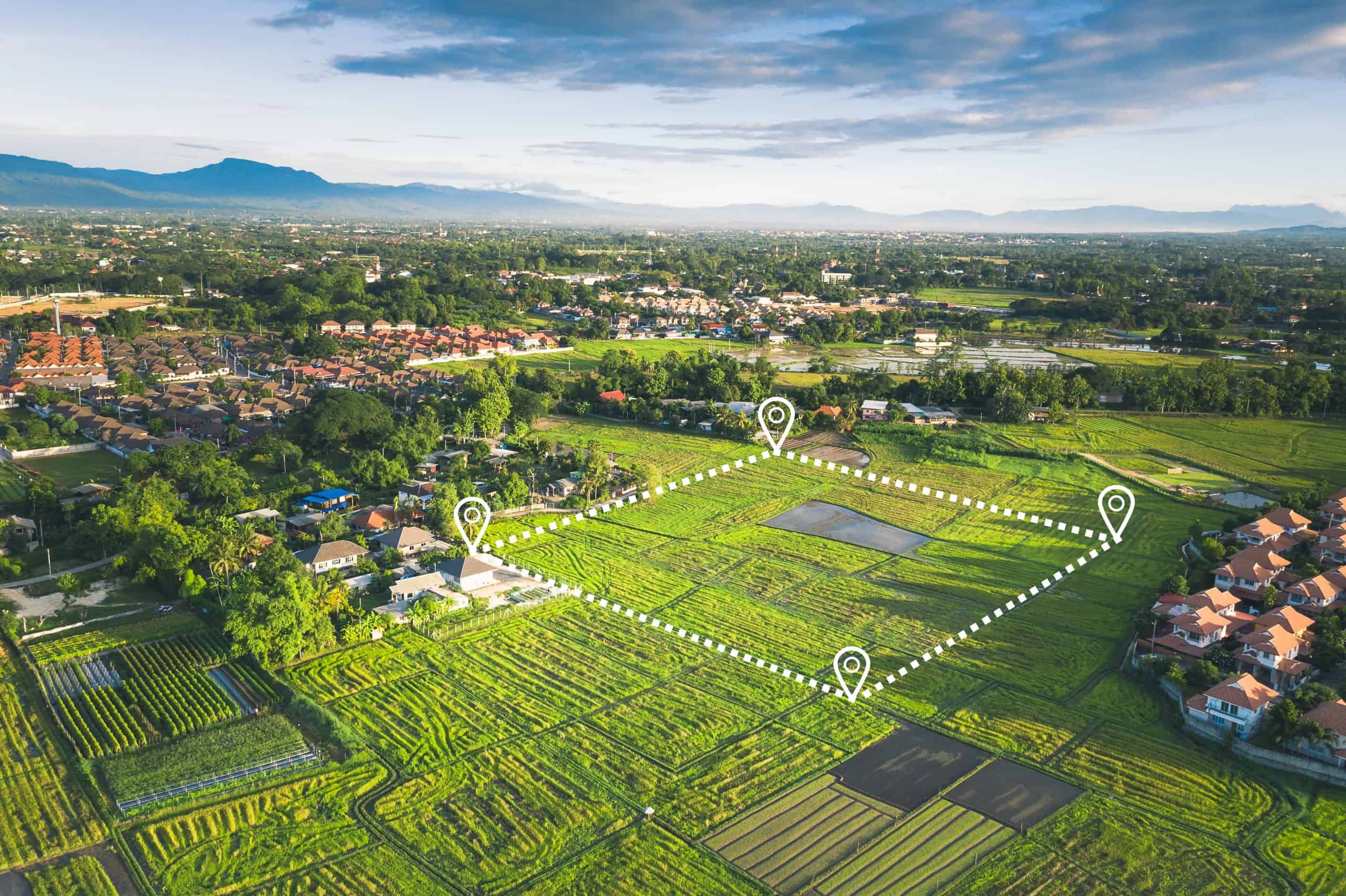
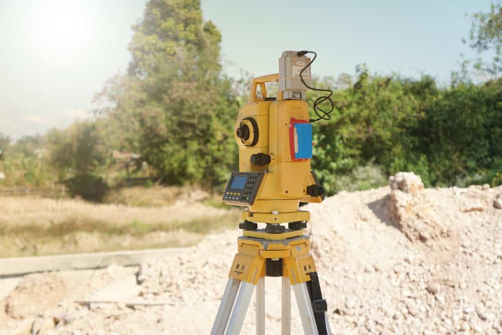
    A boundary survey is essential for any property owner in Roseland, FL. It clarifies property lines, preventing disputes and facilitating informed decisions. Aero Land Surveyors’s land surveyors are highly trained in using advanced equipment, such as total stations and data collectors, to acquire exact measurements. We then create detailed maps outlining your property’s boundaries. These surveys are critical for construction projects, property sales, and resolving neighbor disputes. Contact Aero Land Surveyors today to schedule your boundary survey in Roseland and protect your property rights.

    A yellow total station stands on a construction site tripod, bathed in sunlight. In the background, trees and a pile of dirt hint at ongoing surveying work by land surveyors in Okeechobee County, capturing the essence of their meticulous craft in a rural setting.

    Roseland is located in northern Indian River County at 27°50′5″N 80°29′21″W / 27.83472°N 80.48917°W (27.834594, -80.489264). It is bordered to the north by the St. Sebastian River, which forms the Brevard County line. The city of Sebastian is to the south, and unincorporated Micco is to the north, in Brevard County. To the east is the Indian River and Pelican Island National Wildlife Refuge.

    U.S. Route 1 passes through the east side of Roseland, leading north 19 miles (31 km) to Melbourne and south 15 miles (24 km) to Vero Beach.

    According to the United States Census Bureau, the Roseland CDP has a total area of 3.1 square miles (8.0 km2), of which 1.9 square miles (4.9 km2) are land and 1.2 square miles (3.1 km2), or 38.38%, are water.

    Learn more about Roseland.