Topographical Survey in Arundel, FL

Developing Land in Arundel, Martin County Topographical Survey is needed

Ready to develop land? Aero Land Surveyors in Martin County provides a precise topographical survey for informed planning in Arundel, FL. Let’s get started.

A colorful 3D topographic map with vibrant gradients ranging from blue to red captures the essence of Land Surveyors in Martin County. The map features raised areas with contour lines, depicting various elevations reminiscent of a mountainous landscape.

Hear from Our Customers

A person wearing a safety vest uses a tablet to view a topographic map in a sunlit forest, embodying the precision of land surveyors in Martin County.

Why are Topographical Survey Important for Land Development in Arundel, FL?

Aero Land Surveyors; Your Land Development Partner in Martin County is subjected to a Topographical Survey
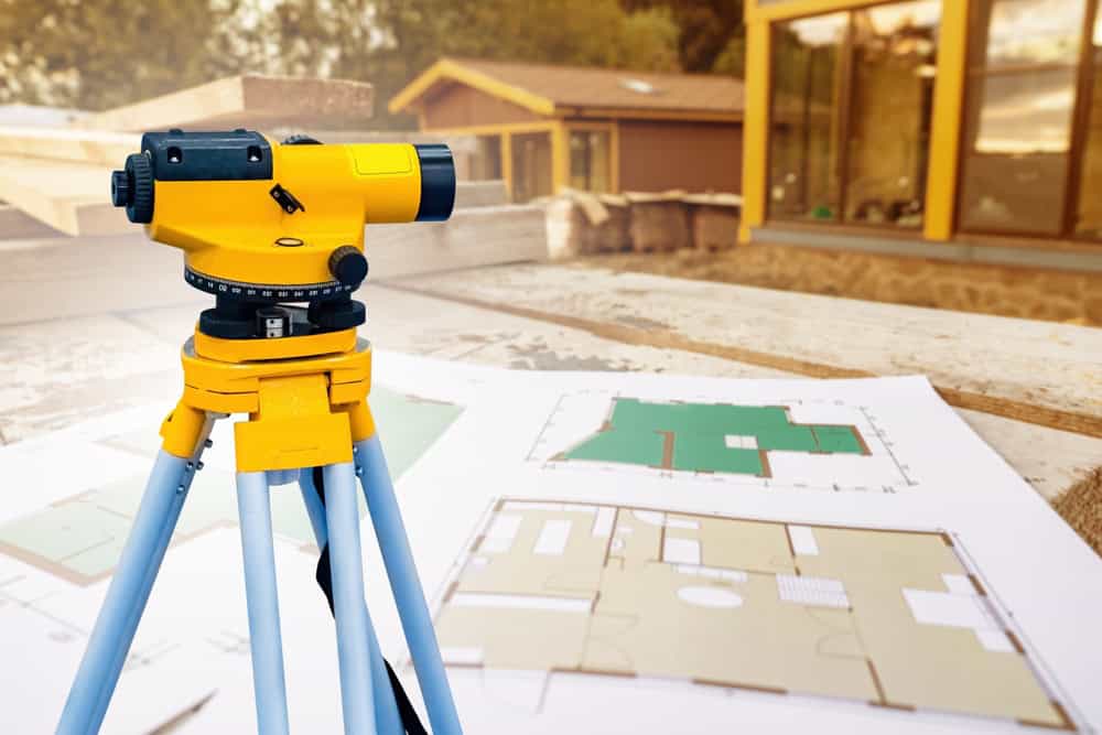
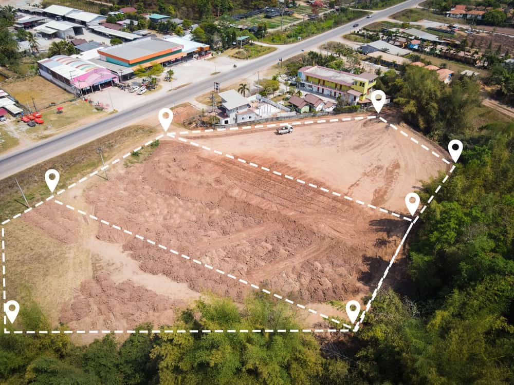
  • Site Analysis: Evaluate land suitability for development.
  • Design Optimization: Create efficient and effective development plans.
  • Infrastructure Planning: Design roads, utilities, and other infrastructure.
  • Permitting: Obtain necessary permits with accurate land data.
  • Martin County Land Development Survey Company

    Serving Martin County Developers with Aero Land Surveyors

    We specialize in land development survey in Martin County. We use cutting-edge equipment and established techniques to deliver the detailed land information you require. Our team understands the intricacies of land development projects in Arundel, FL, and we’re devoted to helping you achieve your goals. We use tools like drones and data processing software and are familiar with local zoning regulations.

    A yellow surveying instrument on a tripod stands on a construction site in Okeechobee County, with blueprints in the foreground. The blurred background includes wooden structures and walls under construction, showcasing the precision of land surveyors at work.

    Land Development Survey Process in FL begins with Topographical Survey

    Aero Land Surveyors's Approach to Topographical Survey in Arundel, FL
  • Project Definition: We determine the scope of the survey and your objectives.
  • Data Collection: We gather data using advanced tools.
  • Deliverables: We provide detailed maps and reports personalized to your needs.
  • A construction site with a worker in a yellow reflective vest and hard hat using a walkie-talkie, pointing at an excavator. Land surveyors from Okeechobee County are surveying and digging in the background. A tree and power line tower are visible in the distance.

    Ready to get started?

    Explore More Services

    About Aero Land Surveyors

    Get a Free Consultation

    Topographical Surveys in Arundel; Essential for Successful Land Development

    Hire Aero Land Surveyors in Martin County for Your Land Development with Topographical Survey

    A topographical survey is indispensable for successful land development. They provide evaluative information about the land, enabling informed decisions about planning, design, and construction. We deliver a dependable topographical survey in Arundel FL, using the latest innovative technology and methods. Contact us today to discuss your land development survey requirements in Martin County.

    Aerial view of a construction site marked with white dashed lines and location pins by Land Surveyors Indian River County. The site is surrounded by trees, with a road and buildings nearby, showcasing precision in mapping and planning within the lush landscape.