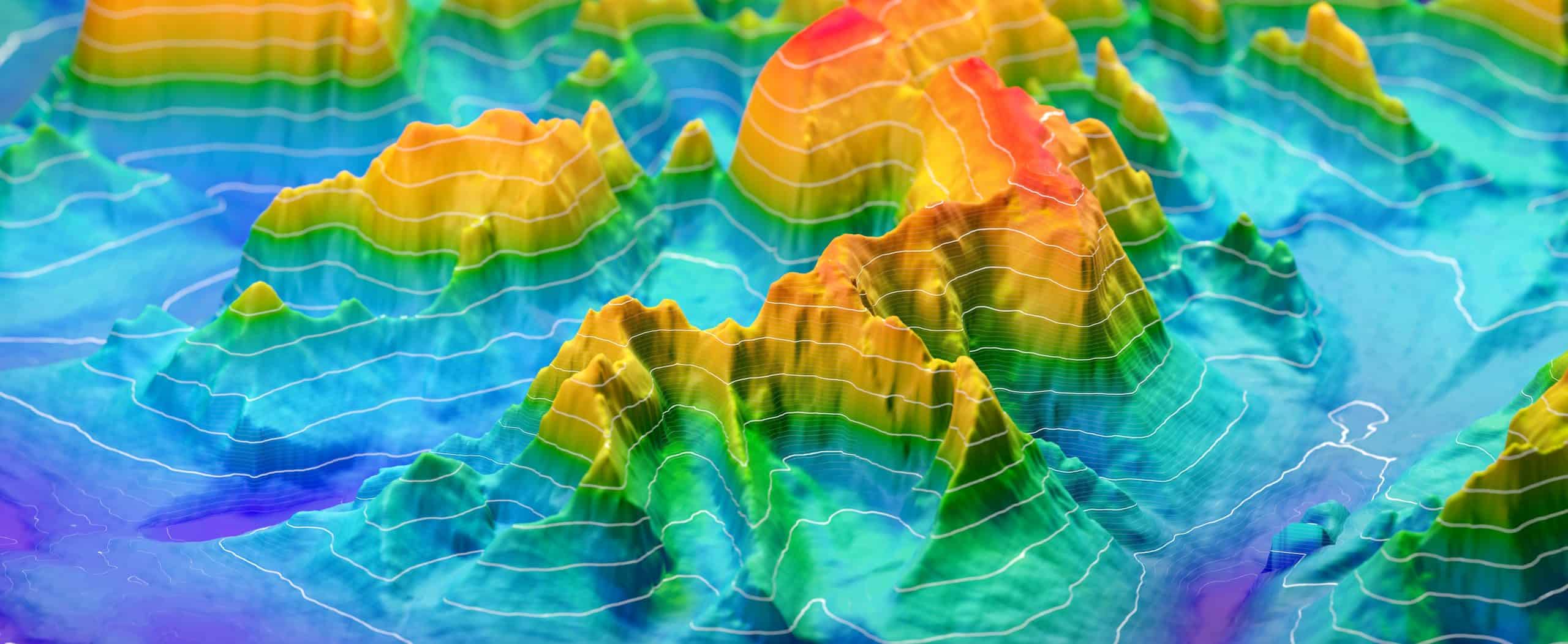
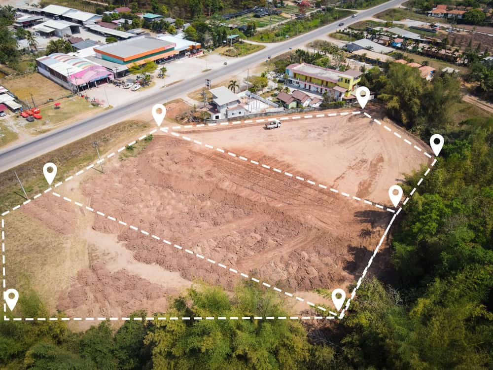
Do you really know the shape and features of your land? A topographical survey provides a detailed map of your property’s contours, elevations, and existing features. This information is fundamental before starting any construction, landscaping, or land development project in Belle Glade, allowing you to plan effectively and avoid potential issues down the road.
Hear from Our Customers

At Aero Land Surveyors, we specialize in creating precise topographical land survey maps for property owners, developers, and contractors throughout the region. Understanding the specific terrain challenges in Palm Beach County helps us select the appropriate methods for each project.
We utilize advanced surveying equipment, including high-accuracy GPS receivers and robotic total stations. This technology allows our topographical surveyors to collect detailed elevation points and map features efficiently. The data gathered forms the basis of the all-encompassing topographic mapping services you receive, presenting a clear picture of your property in Belle Glade.


Ready to get started?
Starting a project without a clear understanding of the land is like navigating without a map. A topographical survey provides the foundational information necessary for successful planning and execution. It helps visualize the terrain, identify opportunities, and anticipate challenges before breaking ground.
For reliable Topographical survey services in Belle Glade, connect with Aero Land Surveyors. We provide the detailed mapping necessary for informed decisions, helping your project move forward smoothly in FL. Let us supply the groundwork data your project requires.
Local Resources