Looking for accurate land surveys? Aero Land Surveyors serves Indian River County, providing detailed topographical surveys for your project in Florida Ridge, FL. Ready to get started?

Hear from Our Customers

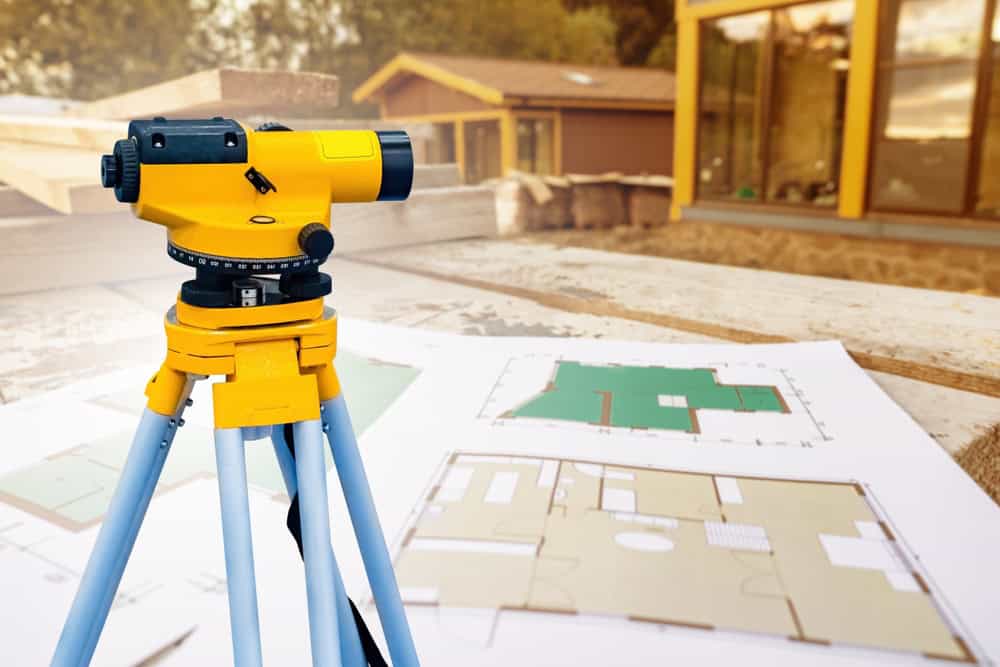
We are a leading land survey company in Indian River County. We employ advanced surveying equipment and techniques to deliver precise and detailed topographical survey. Our team of skilled professionals is devoted to providing exceptional service and results. We use robotic total stations and GPS receivers to collect precise data points. Our process may also include aerial data capture using drones. We’re familiar with Indian River County’s terrain and understand clients’ specific needs in Florida Ridge, FL. We work with many clients, from homeowners to large-scale developers.

Ready to get started?
Topographical surveys form the base of any construction or development project. They clearly depict the land’s characteristics, including elevations, contours, and features. This information is key for planning, design, and construction. Aero Land Surveyors offers dependable land survey services in Florida Ridge, FL, using the latest technology and methods. We deliver detailed and accurate maps that meet your project requirements. Contact Aero Land Surveyors today to discuss your land survey needs in Indian River County.
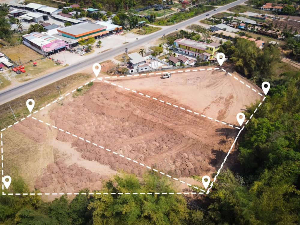
Florida Ridge is located at 27°34′28″N 80°23′30″W / 27.57444°N 80.39167°W (27.574529, -80.391685).
According to the United States Census Bureau, the CDP has a total area of 12.6 square miles (33 km2), of which 10.8 square miles (28 km2) is land and 1.8 square miles (4.7 km2) (14.15%) is water.
Learn more about Florida Ridge.Local Resources