Need a topographical land survey in Hobe Sound, FL? Aero Land Surveyors serves Martin County, delivering precise land surveys for your project. Contact us today!
Your Martin County Topographical Survey Specialists by Aero Land Surveyors
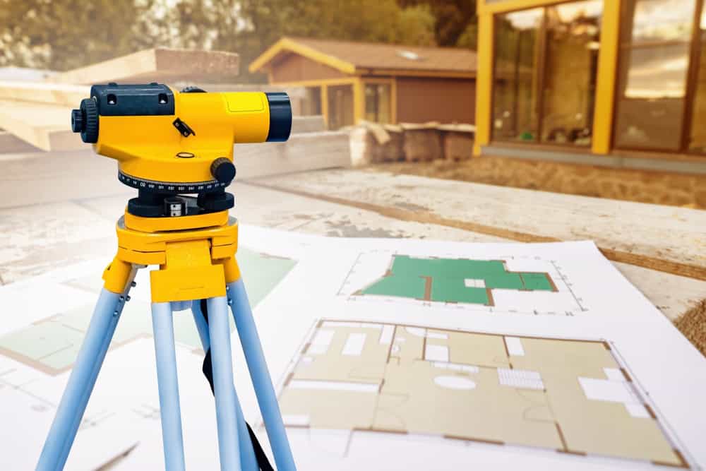
A premier topographic survey company in Martin County. We employ state-of-the-art equipment and time-tested techniques to provide accurate and detailed topographical land surveys. Our highly skilled professionals are determined to provide excellent service and achieve superior results. We use advanced tools like robotic total stations and GPS receivers to capture precise data points. Our process may also include aerial data capture using drones. We’re familiar with the unique terrain of Martin County and understand clients’ specific needs in Hobe Sound FL. Aero Land Surveyors serves a diverse clientele, ranging from individual homeowners to large-scale developers.
Topographical Survey in Hobe Sound; Essential for Your Project
Choose Aero Land Surveyors for Topographical Surveys in Martin County
A topographical site survey is fundamental to any construction or development project. It clearly explains the land’s characteristics, including elevations, contours, and existing features. This information is indispensable for sound planning, practical design, and successful construction. We deliver dependable topographical survey services in Hobe Sound FL, utilizing the latest technology and proven methods. We produce accurate and detailed maps that meet your project specifications. Contact Aero Land Surveyors today to discuss your topographical survey needs in Martin County.
Hobe Sound is the anglicized form of the name of a village of the Jaega, a Native American group that lived in the area before European settlement. The Spanish recorded the village name as Jobe or Jove [ˈxoβe]. Jonathan Dickinson, whose party was shipwrecked near the town in 1696, spelled the name of the village “Hoe-bey”.
Parts of Hobe Sound were included in the 12,000 acres (49 km2) of the Gomez grant given by Spain to Don Eusebio in 1815. In 1821, Gomez sold 8,000 acres (32 km2), including Jupiter Island, to Joseph Delespine for $1 per acre.
Shortly after the turn of the 20th century, Henry Flagler built his railroad along the east coast of Florida passing through Hobe Sound. This gradually created many opportunities including jobs, the birth of tourism, and other related industries.