Topographical Survey in The Acreage, FL

Understanding Your Property in Palm Beach County Starts Here

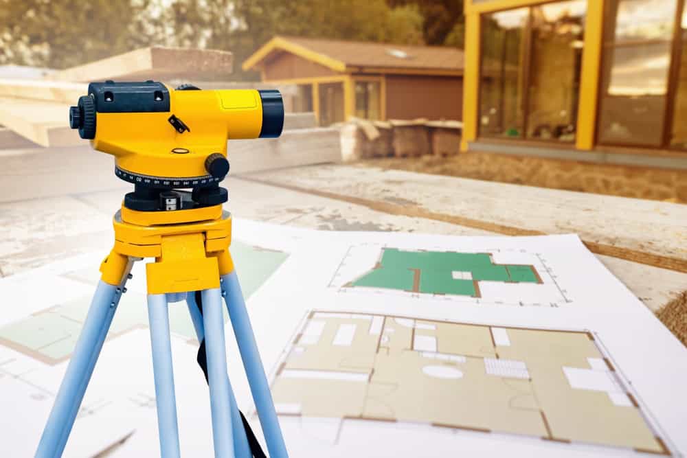
Do you really know the shape and features of your land? A topographical survey provides a detailed map of your property’s contours, elevations, and existing features. This information is fundamental before starting any construction, landscaping, or land development project in The Acreage, allowing you to plan effectively and avoid potential issues down the road.

A colorful 3D topographic map with vibrant gradients ranging from blue to red captures the essence of Land Surveyors in Martin County. The map features raised areas with contour lines, depicting various elevations reminiscent of a mountainous landscape.

Hear from Our Customers

A person wearing a safety vest uses a tablet to view a topographic map in a sunlit forest, embodying the precision of land surveyors in Martin County.

Advantages of a Topographical Survey in The Acreage

How Aero Land Surveyors's Topographical Survey in The Acreage Helps You
  • Provides essential data for architects and engineers to design structures compatible with your land’s natural layout.
  • Identifies potential drainage issues or optimal locations for features like driveways and building sites before construction begins.
  • Aids in complying with local zoning and building regulations specific to The Acreage and Palm Beach County.
  • Offers a clear understanding of property boundaries and existing features for informed land management decisions.
  • Your Local Topographical Survey Company in The Acreage

    Mapping Your Land with Clarity in FL

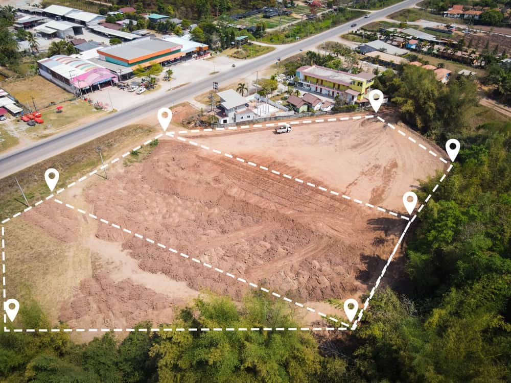
    At Aero Land Surveyors, we specialize in creating precise topographical land survey maps for property owners, developers, and contractors throughout the region. Understanding the specific terrain challenges in Palm Beach County helps us select the appropriate methods for each project.

    We utilize advanced surveying equipment, including high-accuracy GPS receivers and robotic total stations. This technology allows our topographical surveyors to collect detailed elevation points and map features efficiently. The data gathered forms the basis of the all-encompassing topographic mapping services you receive, presenting a clear picture of your property in The Acreage.

    A yellow surveying instrument on a tripod stands on a construction site in Okeechobee County, with blueprints in the foreground. The blurred background includes wooden structures and walls under construction, showcasing the precision of land surveyors at work.

    The The Acreage Topographical Survey Process

    Our Topographical Survey in The Acreage, FL: 3 Steps
  • Initial Consultation & Planning: We discuss your project requirements, review existing property information, and determine the scope needed for your topographical site survey.
  • Field Data Collection: Our team visits your property using tools like total stations and GPS to gather precise measurements of elevations, boundaries, structures, utilities, and natural features. For larger areas, drone mapping or LiDAR might be employed.
  • Map Preparation & Review: Collected data is processed using specialized software to generate an accurate topographical map. We review the map details with you to confirm it meets your project needs.
  • A construction site with a worker in a yellow reflective vest and hard hat using a walkie-talkie, pointing at an excavator. Land surveyors from Okeechobee County are surveying and digging in the background. A tree and power line tower are visible in the distance.

    Ready to get started?

    Explore More Services

    About Aero Land Surveyors

    Get a Free Consultation

    Begin Your Project with Confidence

    Choose Aero Land Surveyors for Your Surveying Needs in Palm Beach County

    Starting a project without a clear understanding of the land is like navigating without a map. A topographical survey provides the foundational information necessary for successful planning and execution. It helps visualize the terrain, identify opportunities, and anticipate challenges before breaking ground.

    For reliable Topographical survey services in The Acreage, connect with Aero Land Surveyors. We provide the detailed mapping necessary for informed decisions, helping your project move forward smoothly in FL. Let us supply the groundwork data your project requires.

    Aerial view of a construction site marked with white dashed lines and location pins by Land Surveyors Indian River County. The site is surrounded by trees, with a road and buildings nearby, showcasing precision in mapping and planning within the lush landscape.
    It maps the vertical and horizontal positions of land features. This includes contours (lines of equal elevation), buildings, utilities, trees, bodies of water, and property boundaries, giving a 3D representation.
    You usually need one before designing new construction, planning major landscaping, grading land, addressing drainage problems, or whenever detailed site information is required for permits or design work.
    The time frame varies based on property size, terrain complexity, and required detail level. Small residential lots might take a day or two, while larger tracts require more time for fieldwork and map processing.
    Cost depends on the property’s size, accessibility, terrain ruggedness, the level of detail needed, and the specific equipment required. We provide estimates based on your project’s unique scope.
    Yes, drones equipped with photogrammetry or LiDAR technology are often used, especially for larger or hard-to-reach areas. This method can be efficient for collecting extensive elevation data quickly.
    We use modern surveying equipment and established methodologies to achieve high levels of accuracy appropriate for design and construction planning. The specific tolerance levels meet industry standards for topographical surveyors.