Summary:
If you’re about to spend money on a ground survey, you’ve probably noticed that not all surveyors work the same way. Some still use traditional methods that have been around for decades. Others have adopted GPS, drones, and 3D laser scanning. The difference isn’t just about fancy equipment. It’s about how fast you get results, how much you pay, and whether your surveyor can handle difficult terrain without sending a crew into swampy areas or dense brush. This matters because the method your surveyor uses directly affects your timeline, your budget, and the quality of data you receive. Let’s look at how modern technology stacks up against conventional approaches, and what that means for property owners in Martin County.
How Modern Ground Survey Technology Works
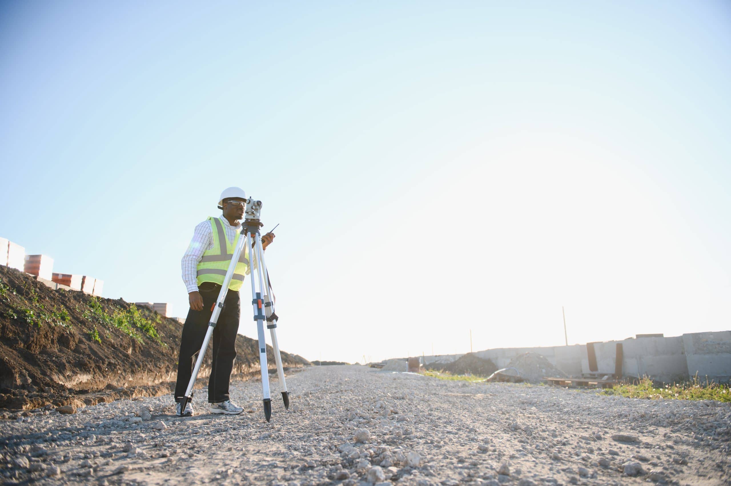
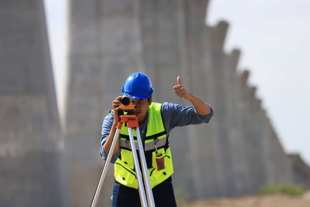
Modern ground surveys rely on technology that would have seemed impossible twenty years ago. GPS receivers connect to satellite networks to establish precise coordinates. 3D laser scanners capture millions of data points in minutes, creating detailed digital models of terrain and structures. Drones equipped with high-resolution cameras and sensors can map large properties from above, reaching areas that would take ground crews hours or days to access on foot.
These tools don’t replace the surveyor’s expertise. They amplify it. A licensed surveyor still needs to interpret the data, verify boundaries against legal descriptions, and ensure the survey meets Florida’s regulatory standards. But the technology changes how that work gets done. Instead of spending days walking property lines with a total station, we can now capture comprehensive site data in a fraction of the time.
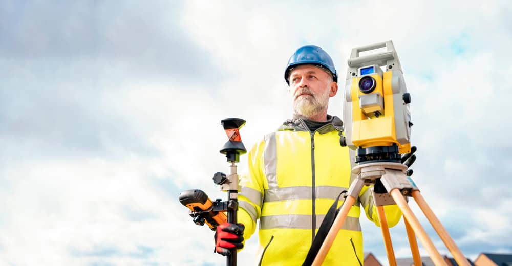
GPS and Real-Time Kinematic Positioning
GPS technology in surveying goes far beyond the navigation system in your car. Survey-grade GPS receivers use signals from multiple satellite networks to achieve accuracy within centimeters. When combined with Real-Time Kinematic (RTK) positioning, which corrects GPS signals using a fixed base station, surveyors can establish property corners and reference points with precision that rivals traditional methods.
The advantage shows up most clearly in open terrain. Where a traditional crew might spend hours setting up equipment and taking measurements, a GPS rover can capture the same data in minutes. This speed doesn’t sacrifice accuracy. Modern RTK systems routinely achieve tolerances of 1-3 centimeters, which exceeds the requirements for most residential and commercial surveys.
For property owners, this translates to faster turnaround times. A survey that might have taken a week using conventional methods can often be completed in days. We spend less time in the field, which typically means lower labor costs. And because GPS data is captured digitally from the start, there’s less room for transcription errors that can occur when manually recording measurements.
The technology does have limitations. GPS struggles in areas with heavy tree canopy or near tall buildings where satellite signals get blocked. In those situations, we often use a hybrid approach, combining GPS for open areas with total stations or laser scanning for obstructed zones. This flexibility is one reason why we maintain both modern and traditional equipment.
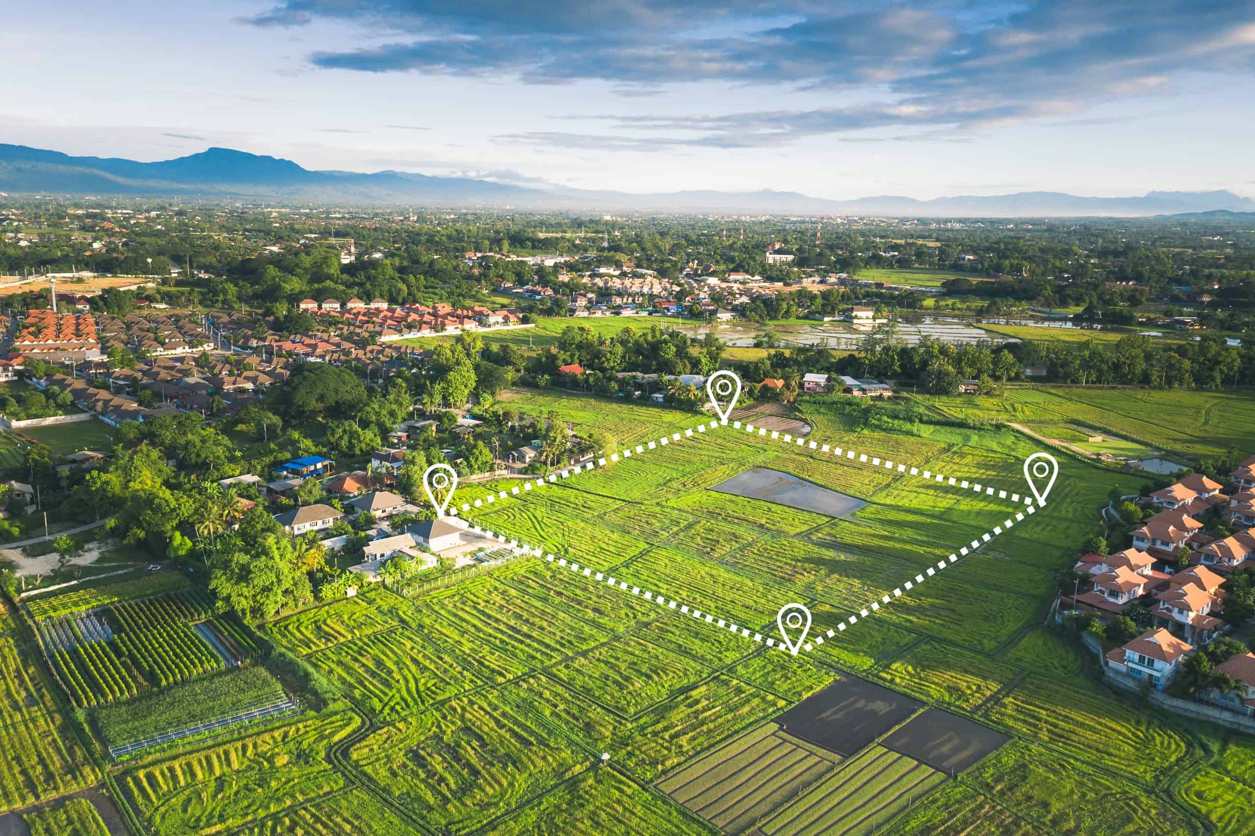
3D Laser Scanning and Point Cloud Data
3D laser scanning represents a fundamental shift in how surveyors capture site information. Instead of measuring individual points, a laser scanner emits thousands of laser pulses per second, each one bouncing back to create a precise measurement. The result is a “point cloud” containing millions of data points that form a complete three-dimensional model of the surveyed area.
This density of data solves a problem that has always plagued traditional surveying. When a crew walks a site with conventional equipment, they’re making educated guesses about which points to measure. They might capture elevations at corners and obvious grade changes, but they’re essentially sampling the landscape. If something important sits between those sample points, it gets missed.
Laser scanning eliminates that guesswork. The technology captures everything within its line of sight, creating a digital record so detailed that you can virtually walk through the site years later and take measurements without returning to the field. This comprehensive documentation proves valuable for construction projects, where design teams need to understand existing conditions before finalizing plans.
The speed advantage is substantial. Traditional topographic surveys of large sites might require days or weeks of fieldwork. A laser scanner can capture the same area in hours. The data processing takes time, but the reduced field hours often result in lower overall project costs, especially for complex sites where traditional methods would require extensive manual measurement.
For properties with difficult terrain, laser scanning offers another benefit. We can position the scanner in safe locations and capture data from steep slopes, unstable ground, or other hazardous areas without putting crew members at risk. In Martin County, where properties often include wetlands or dense vegetation, this safety advantage can make the difference between a straightforward survey and a complicated, expensive project.
Plat of Survey Cost Factors
The cost to prepare a plat of survey depends on several variables that affect both modern and traditional methods. Property size matters, but it’s not the only factor. The shape of your parcel, the availability of existing survey records, terrain complexity, and how quickly you need results all influence the final price.
In Martin County, residential plat surveys typically range from $500 to $1,500 for standard lots. Larger properties or those with complicated boundaries push costs higher. But the surveying method affects these numbers significantly. Modern technology often delivers cost savings through reduced field time, even though the equipment itself costs more upfront.

Cost to Have Property Surveyed Using Different Methods
Traditional ground surveys bill for the time surveyors spend in the field plus office work to process data and prepare documents. A two-person crew might charge $220 to $450 per hour, and a straightforward residential boundary survey could require 4-8 hours of field time plus additional office hours. When you add research time to review county records and previous surveys, costs add up quickly.
Modern methods change this equation. A drone survey might complete field data collection in 30-60 minutes for a property that would take a traditional crew all day to measure. GPS rovers allow single operators to work efficiently in situations that would require a two-person crew with conventional equipment. 3D laser scanning captures comprehensive site data in a fraction of the time traditional topographic surveys require.
These efficiency gains often translate to lower costs for property owners, particularly on larger sites. The technology requires significant upfront investment, but we can often offer competitive pricing because our field time is dramatically reduced. This is especially true for properties with difficult access or complex terrain, where traditional methods would require extra time and labor.
The cost difference shows up most clearly when comparing project timelines. Traditional surveys of large properties might span multiple days or weeks, with crew costs accumulating throughout. Modern technology can often compress that same work into days, reducing labor expenses even when the hourly rate remains the same. For property owners facing tight deadlines, this speed can be worth paying a premium, but in many cases, the modern approach actually costs less.
Florida’s unique surveying challenges factor into these cost calculations. Properties in flood zones require elevation data. Wetlands complicate access. Dense vegetation blocks sight lines for traditional equipment. Modern technology handles these challenges more efficiently. Drones fly over obstacles that would stop ground crews. GPS works in areas where setting up a total station would be difficult. This efficiency in challenging conditions is where modern methods deliver the most significant cost advantages.
Boundary Survey Cost Per Acre and Scaling
Per-acre pricing for boundary surveys typically decreases as property size increases, but the surveying method affects this scaling. Traditional methods show less dramatic cost reduction on larger parcels because the crew still needs to physically traverse and measure the entire boundary. Modern technology, particularly drone surveying and GPS, can cover large areas much more efficiently.
For properties under one acre, expect to pay $500 to $1,000 for a standard boundary survey in Martin County. As size increases to 5-10 acres, per-acre costs might drop to $150-$300 per acre with traditional methods, but modern approaches can reduce this further. Drone surveys of large parcels might achieve per-acre costs of $50-$150, depending on terrain and vegetation density.
The cost difference becomes more pronounced when terrain complicates traditional surveying. A flat, open 10-acre parcel might not show dramatic savings between methods. But a heavily wooded property with wetlands, steep slopes, or difficult access could cost 40-50% less to survey using drones and GPS compared to traditional ground crews who would need to clear sight lines and navigate obstacles.
Property shape affects these calculations too. Irregular boundaries with many corners require more measurement points. Traditional crews spend time at each corner setting up equipment and taking readings. GPS rovers can capture those same points much faster. This efficiency advantage compounds on properties with complex boundaries, where modern methods might complete in hours what would take traditional crews days.
Vegetation density is a significant cost factor in Florida. Traditional surveys require clear sight lines between measurement points. In areas with dense brush or tree cover, crews may need to clear paths or use creative workarounds, adding time and expense. Modern technology handles this challenge differently. Drones fly above vegetation. GPS doesn’t require line of sight between points. 3D laser scanning can often penetrate through gaps in canopy that would block traditional equipment. These capabilities reduce the vegetation penalty that drives up costs for traditional surveys in heavily wooded areas.
Choosing the Right Survey Method for Your Property
The choice between modern and traditional ground survey methods isn’t about which technology is “better” in absolute terms. It’s about matching the right approach to your specific situation. Small residential lots with good access and clear boundaries might not benefit much from advanced technology. But larger properties, difficult terrain, or projects requiring detailed topographic data often see significant advantages from modern methods in both cost and timeline.
What matters most is working with a surveying firm that has both the technology and the expertise to recommend the right approach for your property. The best surveyors don’t default to one method for every job. We assess your specific needs, consider site conditions, and propose the most efficient solution. Whether that involves GPS, drones, 3D scanning, or traditional equipment depends on what will deliver accurate results at the best value for your particular situation.
If you’re planning a survey in Martin County and want to understand which approach makes sense for your property, we can evaluate your needs and provide a detailed quote. Our combination of modern technology and experienced licensed surveyors means you get accurate results without paying for unnecessary complexity or waiting longer than needed.