Summary:
You’re looking at a property investment, planning a fence, or dealing with a boundary question with your neighbor. The last thing you want is to move forward blindly and face costly problems later. We specialize in providing reliable property surveys for both residential and commercial properties in Martin County, focusing on accuracy and customer satisfaction.
Table of contents
Boundary Surveys: The Foundation of Property Ownership
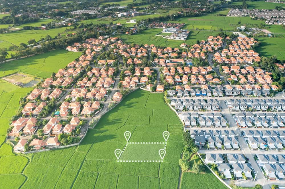
A boundary survey clearly marks property lines and defines improvements on the land, with property lines and improvements located and depicted on the survey drawing. This is probably what most people think of when they hear “property survey.”
Boundary surveys identify a property’s boundary lines, with surveyors setting or recovering property corners and producing detailed plats or maps through research of public records, field measurements, and calculations. You’re getting a legal document that shows exactly where your property begins and ends.
When You Actually Need a Boundary Survey
Boundary surveys are usually ordered before real estate closings, with purchasers determining whether surveys must meet ALTA specifications or State of Florida Standards, and these standards determine the required level of detail and accuracy. But that’s not the only time you’d need one.
You’ll want a boundary survey if you’re planning any construction near your property lines. This type of survey is necessary for construction and permit purposes, though it can be expensive—possibly several thousand dollars—depending on property size and record complexity. The cost makes sense when you consider the alternative: accidentally building on your neighbor’s land.
Boundary disputes often arise when neighbors construct new fences, and these real estate disputes can generally be solved by conducting a property survey that yields a report helping to resolve the dispute. Rather than guessing where your property line sits, you get definitive answers that hold up legally.
Most lenders require boundary surveys for mortgage approval, especially for properties where previous surveys are outdated or missing. During preparation, we work with purchasers’ attorneys and title companies to ensure exceptions like easements and access rights are accurately plotted on survey drawings. This coordination protects everyone involved in the transaction.
What's Actually Included in Your Boundary Survey
Property surveyors are licensed professionals responsible for measuring and mapping land, determining property boundaries, and identifying features and legal restrictions, playing a critical role in defining legal boundaries by measuring and comparing physical features against deed descriptions. Your survey document shows more than just lines on a map.
Using specialized tools like GPS, laser scanning, and theodolites, we precisely measure land and create detailed maps depicting property lines, existing structures, and natural features, while identifying encroachments and recording easements or rights-of-way, and preparing comprehensive reports necessary for title insurance and construction permits. You’re getting a complete picture of your property’s legal status.
The survey identifies any encroachments—situations where buildings, fences, or other improvements cross property lines. This information protects you from future disputes and helps you understand any restrictions on your land use. Improvements that witness property lines are located and tied by dimension to property lines to determine if improvements encroach onto adjoining property or government setbacks.
We also mark easements, which are rights allowing others to use parts of your property for specific purposes like utilities or access. We identify encroachments like buildings or fences extending over property lines and record easements or rights-of-way such as utility lines which may restrict property use. Understanding these restrictions upfront prevents problems when you want to make improvements later.
ALTA Surveys: The Comprehensive Commercial Standard
An ALTA/NSPS survey is a land title survey conforming to American Land Title Association rules, covering everything a boundary survey does plus more information like risks, easements, and access points. Think of this as the premium version of property surveys.
ALTA land surveys are more detailed and adhere to specific national standards required for real estate transactions and title insurance, including additional information like easements, encroachments, and other property features not always covered in traditional boundary surveys. You’re getting the most thorough property analysis available.

Why Some Properties Require ALTA Surveys
ALTA land surveys are often required for real estate transactions with extensive or high monetary value, usually for commercial properties or large multi-family residential complexes, providing more detailed investigation than traditional commercial mortgage location surveys. But some residential situations also trigger ALTA requirements.
For commercial real estate closings, lenders usually require ALTA/ASCM surveys, which are boundary surveys that must meet stringent standards established by the American Land Title Association and American Congress on Surveying and Mapping. However, high-value residential properties or complex transactions sometimes have similar requirements.
The main difference between ALTA surveys and standard boundary surveys is that land surveyors must review possible exceptions or encumbrances determined by title examiners through detailed title examination, requiring close review by title examiners or closing attorneys for content regarding title exceptions, incorporating both professionals to ensure high confidence in determining a comprehensive property picture. You’re getting multiple expert opinions working together.
ALTA surveys require higher detail levels than normal boundary surveys, with additional features called Table A items that can include building dimensions, setback information, varying degrees of utility location, and even parking space inventory. This level of detail costs more but provides comprehensive property intelligence for major transactions.
Topographic and Specialty Surveys for Specific Needs
Topographic surveys identify and map existing features on the earth’s surface, including contours, utilities, and other physical features like ditches, roads, and water. You need this type when planning construction projects that must work with your land’s natural features.
Topographic surveys provide accurate depictions of property, land areas, or defined boundaries, scaled and detailed according to spatial considerations of natural and man-made land features from on-site data capture processes. Construction teams use this information to plan grading, drainage, and building placement.
FEMA publishes standardized elevation certificate forms usually completed by surveyors, engineers, or architects, with information used to determine flood insurance costs for properties in high-risk flood zones. In Martin County, where 40% of properties face severe flooding risk over the next 30 years, elevation certificates often become necessary for insurance compliance.
Obtaining elevation certificates can be beneficial when seeking flood insurance, providing details about property elevation that can impact insurance rates. Given Martin County’s flood risk, many homeowners find these surveys essential for managing insurance costs and meeting lender requirements.
Choosing the Right Survey Type for Your Martin County Property
Several different kinds of surveys serve specific purposes, with ALTA/ACSM surveys typically conducted for real estate buying and selling as one of the most detailed survey types. Your specific situation determines which survey type makes the most sense.
When there’s uncertainty about boundaries, hiring professional land surveyors is prudent, as these professionals interpret complex legal property descriptions using cutting-edge technology to accurately demarcate property lines, which is particularly important in Florida where frequent storms and erosion can alter landscapes and potentially change property lines. For most residential needs, boundary surveys provide the essential information you need.
For complex transactions, high-value properties, or situations requiring detailed property intelligence, ALTA surveys offer comprehensive analysis that protects major investments. When you’re ready to move forward with confidence on your Martin County property, we at Aero Land Surveyors provide the expertise and technology to deliver accurate, reliable results that support your property goals.