Summary:
You’re planning to install that fence. Maybe add a pool. Perhaps you’re buying property in Martin County and the title company mentioned something about a survey. Whatever brought you here, you’re probably wondering what a landscape surveyor actually does and whether you need one. Here’s the straight answer: if your project involves property boundaries, construction permits, easements, or selling property, you need an accurate survey. Not the kind that guesses. The kind that holds up legally and prevents your neighbor from making you tear down that new fence because it’s three feet onto their land. Let’s walk through what landscape surveying actually covers and why it matters for your Florida property.
What Does a Landscape Surveyor Do in Florida
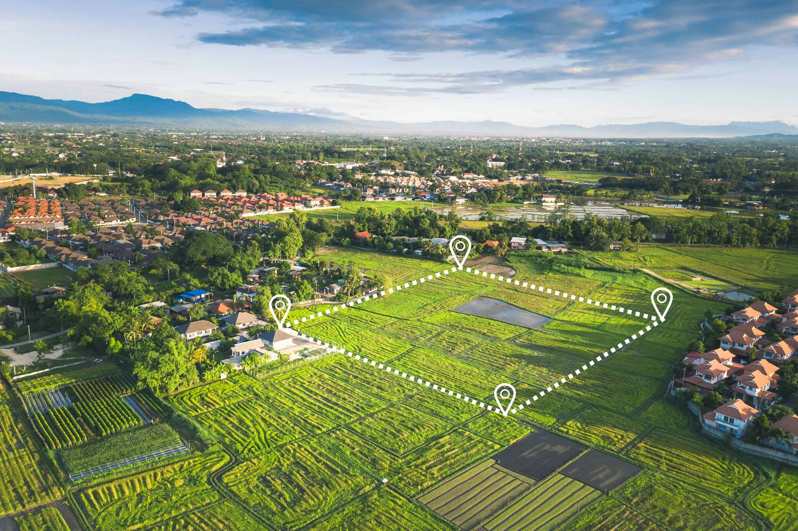
A landscape surveyor does more than mark property lines. The work combines boundary determination with topographical mapping and site analysis. You’re getting a complete picture of your land, including elevation changes, natural features, existing structures, and legal boundaries.
In Florida, this matters more than in other states. Wetlands complicate access. Flood zones affect what you can build and where. Easements you didn’t know existed can derail your entire project. A landscape surveyor identifies these issues before you break ground.
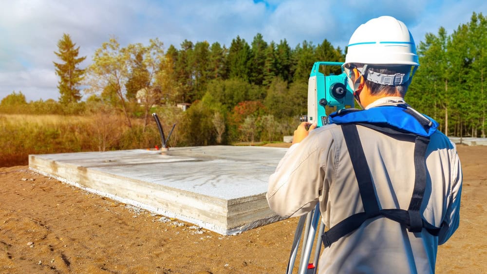
We use GPS technology, 3D laser scanning, and drone imagery to capture accurate data. Then we create a detailed report showing property lines, easements, encroachments, topographic contours, and setback requirements. This isn’t guesswork. It’s measured, documented, and legally defensible.
How Landscape Surveying Differs From a Standard Boundary Survey
A standard boundary survey focuses on one thing: where your property lines are. You get corner markers, measurements, and a basic plat showing the perimeter. That’s useful for fence installation or resolving a simple property line dispute.
Landscape surveying goes further. It includes topographical mapping that shows elevation changes, drainage patterns, tree locations, and existing improvements. This data is critical for landscape architects, engineers, and anyone planning construction that needs to account for site conditions.
For example, if you’re installing a pool or planning drainage for a new patio, you need to know how water flows across your property. A boundary survey won’t tell you that. A landscape survey will. The topographic component shows contour lines, slopes, and low points where water collects.
You also get identification of utility easements, access easements, and conservation easements that might restrict what you can build. In Martin County, many properties have drainage easements or utility corridors that weren’t disclosed during the original sale. Finding out about these before construction starts saves you from expensive redesigns or permit denials.
The cost difference reflects the additional work. A basic boundary survey for a quarter-acre lot in Florida runs $500 to $800. Adding topographic mapping pushes that to $800 to $1,500 or more, depending on terrain complexity and vegetation density. If your property has heavy brush or wetlands, expect the higher end of that range.
Licensed Land Surveyor Cost and What You're Actually Paying For
Let’s talk about licensed land surveyor cost because this question comes up constantly. You’ll see prices ranging from $400 to $3,000 or more for residential properties in Florida. That’s a wide range, and it’s not arbitrary.
Property size is the biggest factor. A standard quarter-acre lot costs less to survey than a one-acre parcel. Half-acre lots typically run $600 to $1,200. One-acre properties cost $800 to $1,800. Beyond that, surveyors often charge per additional acre, usually $50 to $200 per acre depending on terrain.
Terrain and vegetation matter significantly. A flat, cleared lot surveys quickly. A wooded property with dense undergrowth, wetlands, or steep grades requires more time. Survey crews need clear sight lines to take accurate measurements. If they’re clearing brush or navigating swampy areas, you’re paying for that extra labor. Expect a 20-40% cost increase for difficult terrain.
Property record availability affects the price too. If Martin County has clear, recent records with well-maintained boundary markers, we work faster. Missing markers or unclear legal descriptions mean more research time. Properties with metes and bounds descriptions (common in older Florida subdivisions) are more complex than simple platted lots.
The type of survey drives cost as well. A mortgage inspection runs $250 to $400 but doesn’t establish legal boundaries. A full boundary survey with monumentation costs $500 to $1,500. Add topographic mapping and you’re at $800 to $3,500. ALTA surveys for commercial properties start at $2,500 and go up from there.
Rush jobs cost more. Need results in 24-48 hours instead of the standard 5-7 business days? Expect a 50-100% premium. Planning ahead avoids these fees.
What you’re actually paying for is accuracy, legal protection, and peace of mind. A $600 survey can prevent a $15,000 mistake. It stops you from building on your neighbor’s land, violating setback requirements, or discovering easement problems after construction is complete. Our license, insurance, and professional liability coverage protect you if something goes wrong.
Utility Easement On My Property and Other Easement Issues
You bought the property. You own it. But that doesn’t mean you control every square foot. Easements give others the legal right to use portions of your land for specific purposes. And yes, this can absolutely affect your plans.
Utility easements are the most common. These allow utility companies to access your property to install, maintain, or repair power lines, water pipes, sewer systems, and telecommunications equipment. You can’t build permanent structures in these areas. That shed you wanted? If it’s in the utility easement corridor, it’s not happening.
The problem is that many property owners don’t know where their easements are until they request a survey. The easement might be recorded in your deed, buried in the title documents, or shown on the original subdivision plat. But unless you’ve read every page of your closing documents, you probably missed it.

Driveway Easement Rights and Access Easements
Driveway easement rights come up frequently in Florida, especially in areas where properties share access roads or where one parcel needs to cross another to reach a public road. These are called access easements or easements of ingress and egress.
If your property is landlocked (no direct access to a public road), Florida law provides relief. Under Florida Statute 704.01, you may be entitled to an easement by necessity across neighboring land. This isn’t optional for the neighbor. If your property was landlocked when created, or if it became landlocked through subdivision, you have legal grounds to establish access.
But here’s where it gets complicated. The easement must follow the “nearest practicable route” to the public road. You can’t demand a specific path just because it’s more convenient. And if you’re claiming a statutory way of necessity (as opposed to a common-law easement), the neighboring landowner is entitled to compensation.
Driveway easement agreements should be in writing and recorded. Verbal agreements create problems when properties change hands. The new owner isn’t bound by informal arrangements the previous owner made. Get it documented, get it recorded, and make sure the survey shows the easement location clearly.
Maintenance responsibilities matter too. Who pays to repair the shared driveway? Who plows snow or fills potholes? A well-drafted driveway easement agreement addresses these issues upfront. Without clear terms, you’re setting up future disputes.
Access to landlocked property is a serious issue in Florida. If you’re buying property without direct road access, confirm that a legal easement exists before closing. Title insurance won’t help you if the easement was never properly recorded or if the terms are unclear. A survey identifies the access route and confirms it matches the legal description in the easement document.
Adverse Possession Easement and Prescriptive Rights in Florida
Adverse possession easement claims (more accurately called prescriptive easements) arise when someone uses your property openly and continuously for 20 years without your permission. Yes, 20 years. And yes, they can gain permanent legal rights to continue that use.
Florida law distinguishes between adverse possession (which transfers ownership) and prescriptive easements (which grant use rights). For a prescriptive easement, the use must be open, notorious, continuous, and adverse (without permission) for 20 years. Unlike adverse possession, the user doesn’t need exclusive control. They’re just claiming the right to keep using your land for the specific purpose they’ve been using it for.
Common examples include a neighbor who’s been driving across your property to access their garage for two decades, or a utility company that installed lines without a recorded easement and has maintained them for 20 years. If you never objected, never gave written permission, and the use continued uninterrupted, they may have a valid prescriptive easement claim.
The key difference from adverse possession: prescriptive easements don’t require exclusivity. Multiple people can hold prescriptive easements over the same property. And you, as the owner, can still use the property. You just can’t interfere with the easement holder’s established use.
How do you prevent this? Written permission destroys the “adverse” element. If you give a neighbor written permission to cross your land, their use is no longer hostile. It’s licensed. Keep a copy of that permission letter. If you ever want to revoke it, you can.
Alternatively, send a formal objection letter if you discover unauthorized use. Certified mail creates a documented record that you’re not consenting to the activity. This interrupts the 20-year clock and protects your rights.
For property owners in Martin County, prescriptive easement claims often involve old access roads, shared driveways, or utility corridors that were never formally documented. A survey can identify these situations before they ripen into legal rights. If we find evidence of long-term use (like a worn path or old utility lines), investigate immediately.
Boundary Disputes Surveyors Can Help You Avoid
Boundary disputes with neighbors are expensive, stressful, and almost always avoidable. The solution is simple: get an accurate survey before problems start. Whether you’re installing a fence, buying property, or planning construction, a licensed land surveyor identifies boundary lines, easements, and encroachments before they turn into legal battles.
In Martin County and across Florida, property owners who skip the survey step often regret it. Encroachments discovered after construction require expensive removal or legal settlements. Easements found late in the buying process derail closings. Setback violations stop permit approvals and delay projects.
A landscape surveyor gives you the complete picture. You’ll know exactly where your property lines are, what easements affect your land, whether existing structures encroach, and how topography impacts your plans. That clarity protects your investment and keeps your project moving forward. If you need reliable surveying services in Martin County, Okeechobee County, or Indian River County, we combine modern GPS and drone technology with experienced licensed surveyors to deliver accurate results fast.