Summary:
You’re standing in your yard, looking at the fence line, wondering if you’re actually standing on your land or your neighbor’s. Or maybe you’re ready to build that pool you’ve been planning, but you’re not entirely sure where your property actually ends. These aren’t small questions. They’re the kind that can turn into expensive legal battles, stalled construction projects, or thousands of dollars in wasted materials if you get them wrong.
That’s where private property surveyors come in. We don’t just measure land. We establish legal boundaries, protect your property rights, and give you the clarity you need to move forward without second-guessing. Here’s what you need to know about why hiring a professional surveyor matters in Martin County, and when you actually need one.
What Private Property Surveyors Actually Do
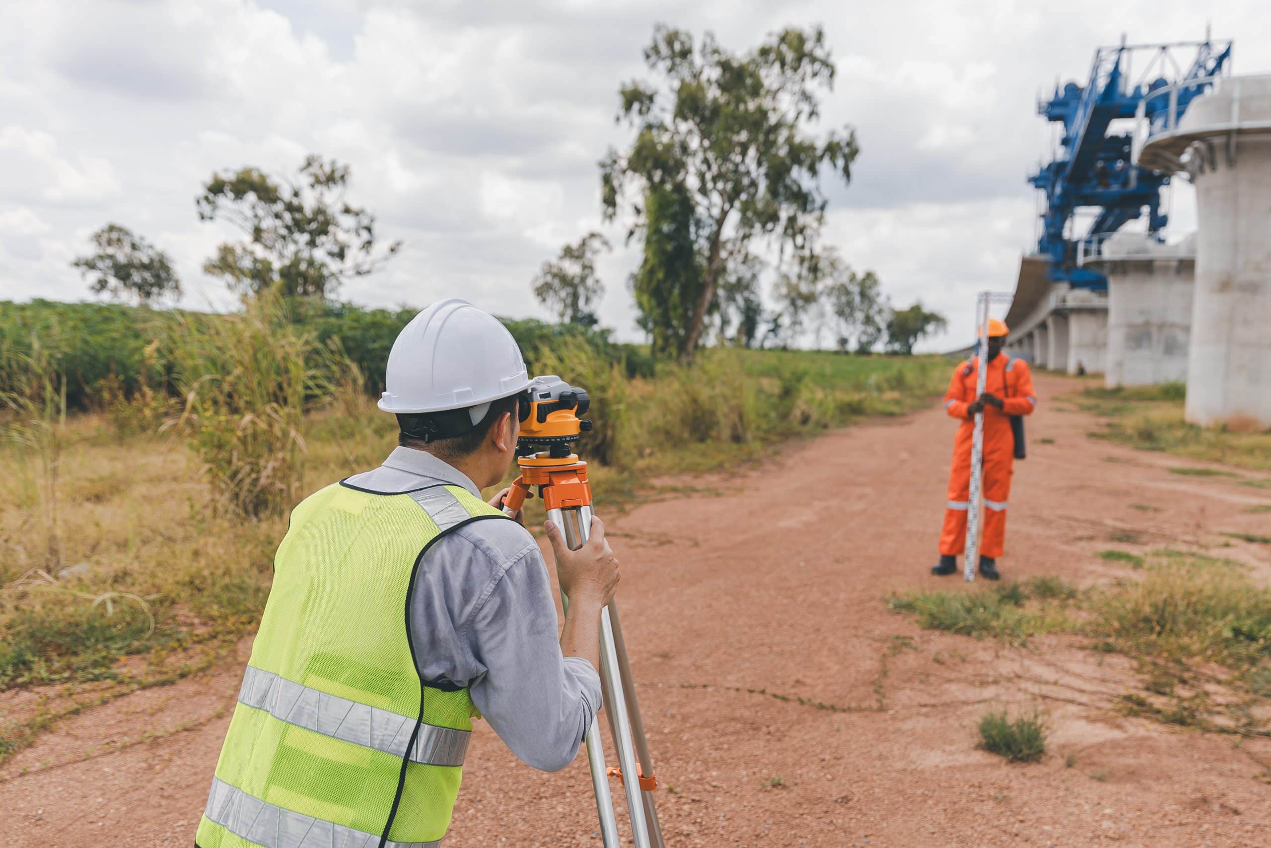
A private property surveyor is a licensed professional who measures, maps, and documents the exact boundaries of your land. But it’s more than just walking your property with measuring equipment. We dive into historical records, review deeds and plats, research previous surveys, and use advanced technology like GPS and laser scanning to determine where your property legally begins and ends.
The work involves both science and legal interpretation. We analyze physical evidence like old boundary markers, cross-reference county records, and apply our knowledge of local land history to establish boundaries that hold up in court. When we’re done, you get a detailed survey report that shows property lines, existing structures, easements, encroachments, and any restrictions that might affect how you use your land.
This documentation isn’t just helpful. In many situations, it’s legally required and serves as evidence if disputes arise.
Boundary Line Survey Cost Factors in Florida
If you’re wondering what a boundary line survey costs, the honest answer is: it depends. In Florida, most residential boundary surveys fall between $400 and $1,000 for standard lots, but several factors influence the final price.
Property size plays a major role. A quarter-acre lot with clear records is straightforward. A five-acre parcel with dense vegetation, unclear historical documents, or irregular boundaries takes significantly more time and effort. Terrain matters too. Flat, open land costs less to survey than wooded, hilly, or swampy areas where crews need to clear sight lines or navigate obstacles.
The complexity of your property’s history also affects cost. If your property has well-maintained records with recent surveys on file, we can work faster. But if the county has unclear or outdated deed descriptions, especially those dating back decades, the research alone can add hours to the project. Missing boundary markers need to be reestablished, which requires additional fieldwork and calculations.
Survey type matters as well. A basic boundary survey identifying property lines is the most affordable option. More detailed surveys like ALTA surveys for commercial transactions or topographic surveys for construction projects cost more because they require additional data collection and documentation. Most surveyors also factor in travel time, especially if your property is in a rural area far from the office.
In Martin County, you’re looking at similar pricing to the rest of Florida, with most residential boundary surveys running $500-$800 for typical lots. The investment protects you from far costlier mistakes down the line, like building on someone else’s property or losing land through adverse possession claims.
Property Survey Cost Per Acre: Understanding the Math
When you’re dealing with larger properties, surveyors typically price per acre, and here’s where the math gets interesting. The per-acre cost actually decreases as property size increases. You might pay $500-$1,000 for a single acre, but when you reach 10 acres, the per-acre cost often drops to $250-$300. By the time you’re surveying 100 acres, costs can fall to $65-$75 per acre.
Why the drop? Much of our work is the same regardless of property size. Researching deeds, pulling historical records, and analyzing boundary documents takes roughly the same amount of time for one acre as it does for ten. The main difference is the physical fieldwork of locating boundary markers and measuring the perimeter. So while a larger property requires more field time, the research component gets distributed across more acres, lowering the per-acre rate.
Shape and terrain still matter at any size. A perfectly rectangular 10-acre parcel on flat, cleared land is easier and cheaper to survey than an irregularly shaped 10-acre lot covered in dense brush with steep slopes. Properties with unusual shapes or additional sides beyond the standard four can add $50 or more per extra side because they require more precision and time to measure accurately.
For Martin County properties, understanding these pricing dynamics helps you budget appropriately. If you’re buying a larger parcel or subdividing land, ask potential surveyors for detailed quotes that break down the per-acre cost and explain what factors are driving the price. The goal isn’t just finding the cheapest option but finding a licensed professional who will deliver accurate, legally defensible results that protect your investment for years to come.
When You Actually Need a Property Survey in Martin County
Not every situation requires a new survey, but many do. If you’re buying property, most lenders and title companies require a current survey before closing, especially for commercial transactions. Even if it’s not required, getting a survey before you buy confirms you’re getting exactly what you’re paying for and reveals any boundary issues before they become your problem.
Construction projects almost always need surveys. Whether you’re building a new home, adding a pool, or installing a fence, you need to know your exact property lines. Many Florida counties, including Martin County, require surveys for building permits. Without one, your permit application gets rejected and your project stalls.
Boundary disputes are another common trigger. If you and your neighbor disagree about where your properties meet, a professional survey provides the definitive answer. Our findings serve as legally admissible evidence if the dispute escalates to court, and often the survey alone resolves the disagreement without legal action.

How Quality Surveyors Prevent Legal Disputes
Boundary disputes between neighbors can turn ugly fast. What starts as a disagreement over a fence location can escalate into years of litigation, damaged relationships, and significant legal costs. Professional property surveys prevent these conflicts by establishing clear, legally defensible boundaries before problems arise.
When we determine your property lines, we’re not guessing or relying on assumptions. We’re using recorded deeds, historical plats, previous surveys, and physical evidence to establish boundaries that align with legal descriptions. If old boundary markers are missing, we calculate where corners should be based on survey-grade measurements and set new monuments, typically iron rods with caps, at those locations.
This precision matters because property boundaries are legal constructs defined by deeds and plats, not by fences, hedgerows, or what current owners assume. That fence your neighbor installed 15 years ago might be several feet off the actual property line. Without a professional survey, you’re relying on guesswork, and guesswork doesn’t hold up in court.
We also identify encroachments early. If a neighbor’s shed, driveway, or fence extends onto your property, the survey documents it. You can then address the issue through conversation or legal channels before it becomes a prescriptive easement claim. In Florida, unauthorized use of your property for 20 years can result in permanent loss of property rights, so early identification protects you from future claims.
The survey report itself becomes powerful evidence if disputes do arise. Courts expect parties in boundary conflicts to present survey evidence, and filing without one weakens your position. Judges rely on survey plats and surveyor testimony to determine where boundaries fall, making a professional survey your strongest tool for protecting your property rights.
Choosing Licensed Surveyors vs. DIY Approaches
You might be tempted to save money by measuring your property yourself or hiring someone who “once worked on a survey crew.” Don’t. Only licensed professional land surveyors can legally determine property lines in Florida, and for good reason. The work requires specialized knowledge, professional equipment, and the authority to create legally binding documents.
Licensed surveyors undergo years of education, pass rigorous state examinations, and maintain professional standards set by the Florida Board of Professional Surveyors and Mappers. We carry professional liability insurance and stake our license on the accuracy of our work. When we sign and stamp a survey, it becomes a legal document that title companies, courts, and government agencies recognize and accept.
DIY property markers or measurements based on property records don’t carry the same legal weight. In fact, changing existing boundary markers is illegal in many states, usually classified as a misdemeanor. If you place your own markers and they conflict with the actual property line, you could face legal trouble and still need to hire a professional surveyor to fix the problem.
The cost difference between a professional survey and a DIY approach might seem significant upfront, but consider what you’re protecting. A $600 survey prevents a $10,000 mistake of building a pool partially on your neighbor’s land. It stops a $20,000 legal battle over boundary disputes. It ensures your $500,000 property investment is accurately documented and marketable.
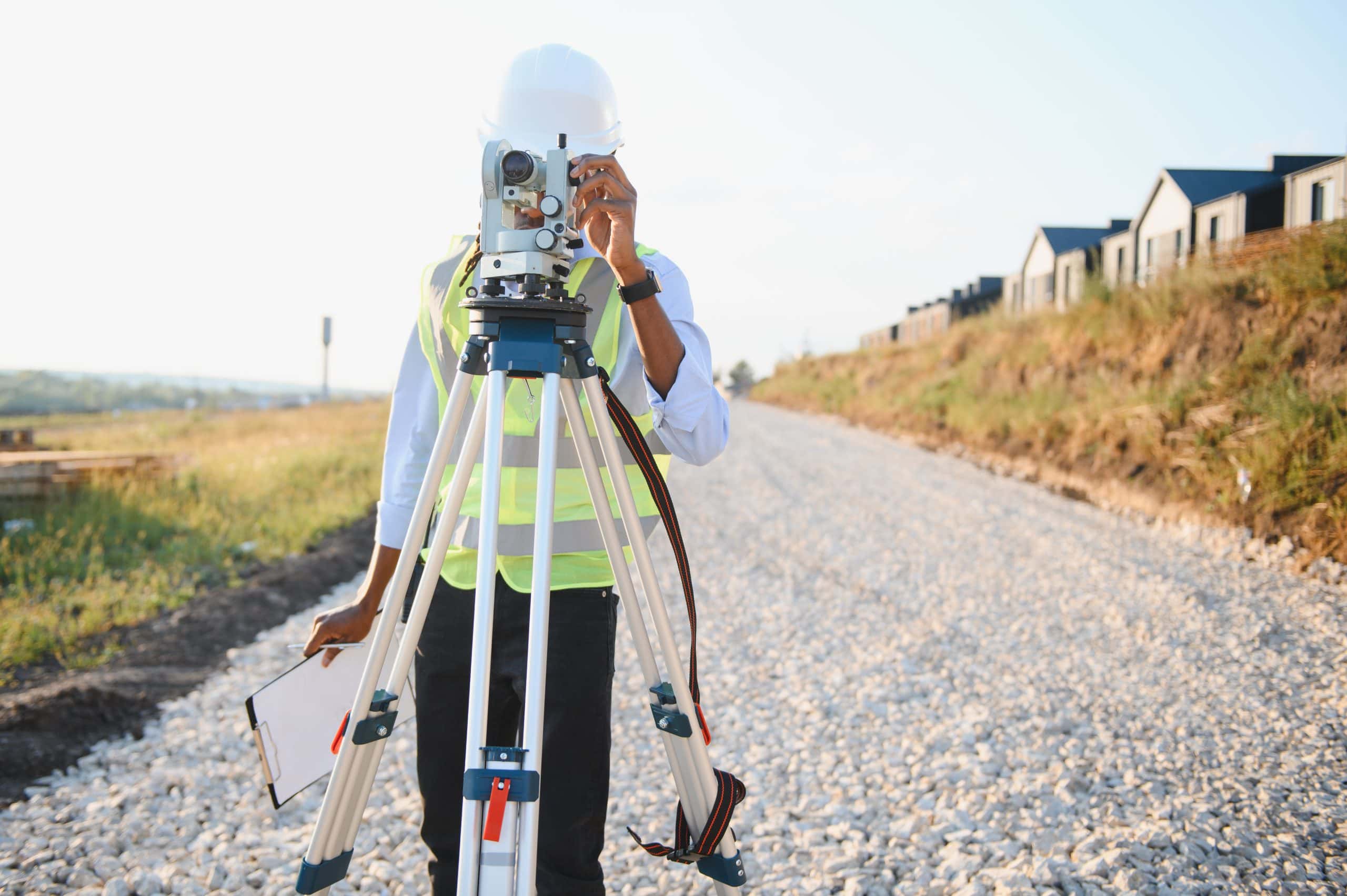
We use technology that simply isn’t available to homeowners. GPS systems, robotic total stations, and 3D laser scanners provide accuracy within inches, far superior to measuring tapes and assumptions. For properties in Martin County where values are high and development is active, that precision isn’t optional. It’s essential for protecting your investment and ensuring your projects proceed without costly delays or legal complications.
Protecting Your Property Investment with Professional Surveying
Your property is likely one of your largest investments. Whether you’re buying, building, or simply want clarity about your boundaries, professional private property surveyors provide the expertise and legal documentation that protect that investment. We prevent costly mistakes, resolve disputes before they escalate, and give you the confidence to move forward with your plans.
The cost of a survey is minimal compared to the financial and legal consequences of getting boundaries wrong. From preventing neighbor conflicts to ensuring regulatory compliance, licensed surveyors deliver value that extends far beyond the initial service fee. In Martin County’s active real estate market, accurate property documentation isn’t just helpful. It’s essential.
At Aero Land Surveyors, we serve Martin County with comprehensive property survey solutions. Licensed, insured, and committed to clear communication and detailed reporting, we provide the accuracy and responsiveness your project deserves.