Summary:
You need a residential boundary survey, but you’re not sure where to start. Maybe you’re planning a fence and want to avoid building on your neighbor’s property. Or you’re buying a home and need to know exactly what you’re getting. Perhaps there’s already a dispute brewing and you need documentation that holds up legally.
The surveyor you choose matters more than you might think. Licensed professionals with local knowledge deliver results you can trust, while the wrong choice leads to inaccurate measurements, wasted money, and potential legal headaches. In Martin County, FL, where property markers shift due to storms and environmental factors, experience with local platting systems and county requirements makes a real difference. Here’s what you need to know about choosing residential boundary survey services that actually deliver.
What to Look for When Choosing Residential Boundary Survey Services
Finding the right surveyor starts with understanding what separates qualified professionals from everyone else. In Florida, only licensed Professional Surveyors and Mappers can perform legally valid surveys. Check their license status through the Florida Department of Agriculture and Consumer Services before you hire anyone.
Experience matters, but local experience matters more. Surveyors familiar with Martin County, FL understand the specific platting systems, common boundary issues, and county recording practices that affect your property. They know how to navigate local regulations efficiently and complete research faster because they already understand the area’s quirks.
Technology also plays a role in accuracy. Modern GPS and 3D laser scanning provide precision that older surveying methods simply can’t match. Ask potential surveyors what equipment they use and how it improves accuracy for your specific property type.
Why Licensed Surveyors Matter for Your Property
Florida law requires licensed surveyors for any survey with legal standing. An unlicensed survey can’t be used for permits, real estate transactions, title insurance, or court proceedings. That means if you hire someone without proper credentials, you’re essentially paying for a document that has no legal value.
Licensed surveyors carry professional liability insurance that protects you if something goes wrong. They’re bound by a code of ethics and maintain high professional standards. If an issue or dispute arises with the surveyor’s work, you have recourse through the state board to address it.
The licensing process ensures surveyors have completed proper education, passed rigorous exams, and accumulated professional experience under supervision. They understand Florida’s specific jurisdictional requirements, which differ from other states. This knowledge prevents mistakes that could cost you thousands in corrections or legal fees.
Verify a surveyor’s license before signing any contract. The state board’s online database makes this easy. Look for surveyors who actively maintain their credentials and stay current with continuing education. Professional organizations like the Florida Board of Professional Surveyors and Mappers set standards that protect consumers and ensure quality work.
In Martin County, FL specifically, local surveyors understand environmental factors that affect property markers over time. Storms, construction activity, and ground settling are common here. A surveyor familiar with these conditions knows where to look for original markers and how to reconstruct boundaries when markers have shifted or disappeared.
The Role of Modern Technology in Survey Accuracy
Technology has transformed land surveying over the past decade. GPS systems, 3D laser scanning, and drone technology deliver accuracy that traditional methods couldn’t achieve. When you’re evaluating surveyors, understanding their technology matters because it directly affects the precision of your survey results.
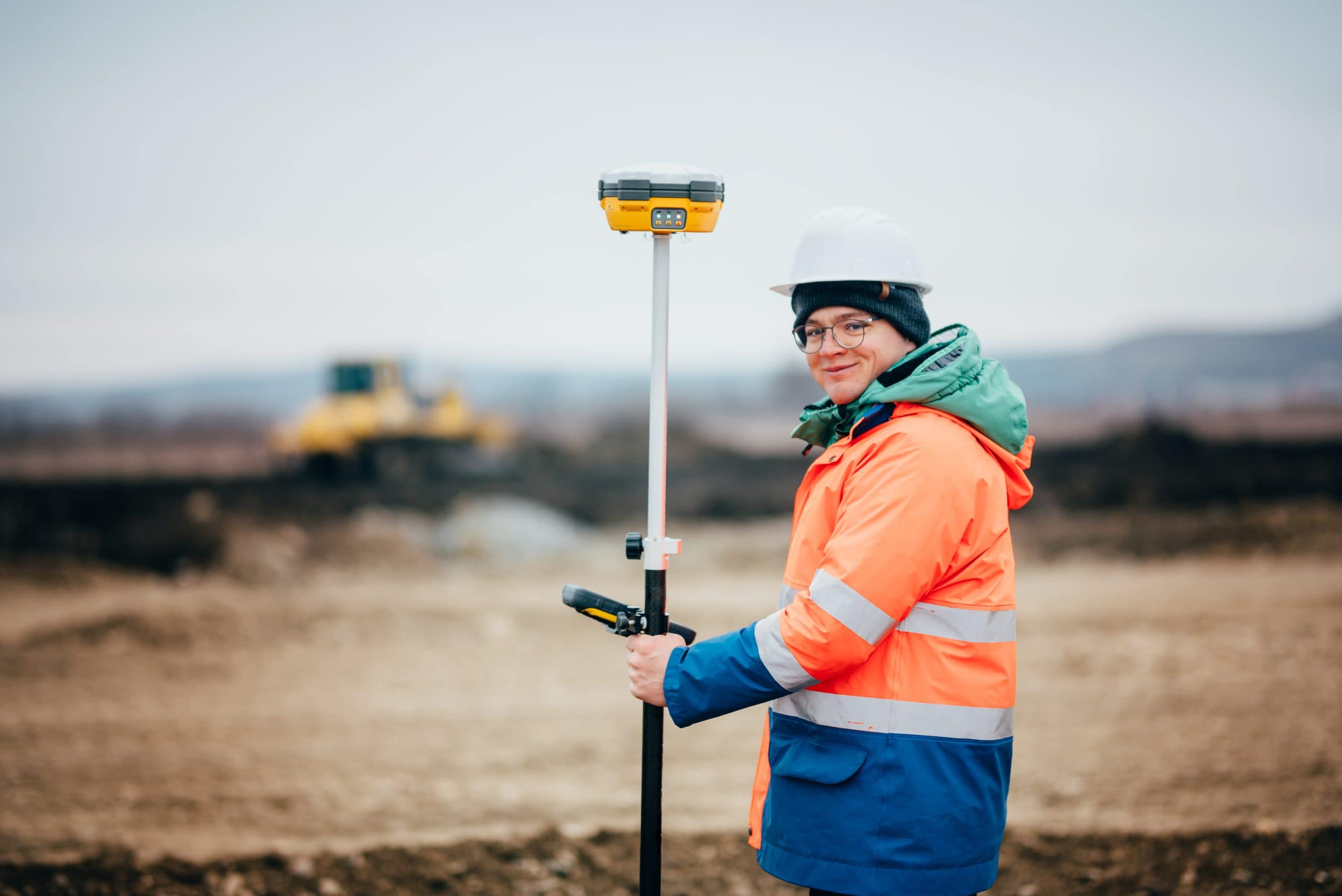
GPS technology provides survey-grade accuracy by using satellite positioning to establish exact coordinates. This is especially useful for larger properties or areas where traditional line-of-sight methods face obstacles. Modern GPS can locate property corners within fractions of an inch, creating measurements you can trust for construction or legal purposes.
3D laser scanning captures detailed terrain data quickly and accurately. This technology maps elevations, slopes, and physical features across your entire property. For residential boundary surveys, laser scanning reveals grade changes, drainage patterns, and existing structures that might affect property lines or future construction plans.
Drone technology offers cost-effective aerial surveying for properties that would be expensive or time-consuming to survey using only ground methods. Drones equipped with high-resolution cameras and LiDAR sensors can map large areas efficiently while providing detailed imagery that helps identify features and potential issues.
The combination of these technologies means surveyors can deliver more accurate results in less time. In Martin County, FL, where properties may have wetlands, heavy vegetation, or waterfront access, modern technology allows surveyors to work around obstacles that would have delayed traditional surveys. This translates to faster turnaround times and more reliable data for your project.
Ask surveyors what technology they use and how it benefits your specific property. A professional should be able to explain their methods in plain terms and show you how their equipment ensures accuracy. If a surveyor relies solely on outdated methods, that’s a red flag that they may not deliver the precision modern projects require.
Understanding Local Survey Companies and Cost to Have Property Surveyed
Cost is obviously a factor when choosing survey services, but understanding what drives pricing helps you evaluate quotes intelligently. In Martin County, FL, most residential boundary surveys range from $500 to $1,100, though complex properties or larger lots may cost more.
Property size directly affects cost because larger parcels require more time to survey. A standard quarter-acre lot typically costs $500-$800, while half-acre lots run $600-$1,200. Properties with irregular shapes, multiple corners, or difficult terrain add complexity that increases the price.
Local survey companies familiar with Martin County, FL often complete work faster and more cost-effectively than firms from outside the area. They already know the county’s recording systems, common platting methods, and where to find historical documents. This local knowledge saves research time and reduces the chance of delays that add to your costs.
What Affects the Cost to Have Property Surveyed in Martin County
Several factors beyond property size influence survey costs. Understanding these helps you budget accurately and avoid surprises when you receive quotes from different surveyors.
Property accessibility matters. If your property has clear access and visible markers, the survey moves faster. Dense vegetation, wetlands, or areas requiring brush clearing to establish sight lines add labor time. In Martin County, FL, mature landscaping and natural Florida vegetation often mean surveyors need extra hours to clear adequate sight lines for accurate measurements.
The complexity of your property’s legal description affects research time. Simple platted lots with straightforward descriptions cost less to survey than properties with metes and bounds descriptions, old Spanish land grants, or government lot sections. These complex descriptions require more extensive research to verify boundaries accurately.
Missing or damaged property markers increase costs because surveyors must reconstruct corner positions from other evidence. In areas affected by storms or construction activity, original iron rods or monuments may have shifted or disappeared entirely. Surveyors then spend additional time researching historical records and using mathematical calculations to determine where corners should be.
The type of survey you need also impacts price. A basic boundary survey costs significantly less than an ALTA/NSPS survey that includes extensive title research, utility location, and flood zone determination. Make sure you’re comparing quotes for the same type of survey when evaluating different surveyors.
Rush services add 15-30% to standard costs. Most surveyors can complete residential boundary surveys within 1-2 weeks under normal conditions. If you need results faster, expect to pay a premium for expedited service. Planning ahead and ordering your survey with adequate lead time saves money.
Travel distance can affect pricing if you’re in a remote part of Martin County, FL. Some surveyors factor in travel time to and from your property. Local survey companies based in or near Martin County typically offer better value because they’re already working in the area and don’t need to charge for extensive travel.
Private Surveyor vs Consulting Surveyor: Understanding the Difference
You might encounter terms like “private surveyor” and “consulting surveyor” when researching survey services. Understanding what these mean helps you choose the right professional for your needs.
A private surveyor typically works for a private surveying firm or consultancy and provides survey services directly to property owners, developers, or real estate professionals. These surveyors handle the hands-on work of measuring property, locating boundaries, and creating survey documents. For residential boundary surveys, you’re almost always working with a private surveyor or a firm that employs them.
The term “consulting surveyor” can refer to surveyors who provide expert advice, review other surveyors’ work, or serve as expert witnesses in legal matters. Some consulting surveyors focus on complex projects requiring specialized knowledge or dispute resolution. For straightforward residential boundary surveys, you typically don’t need a consulting surveyor unless you’re dealing with a complicated boundary dispute or legal issue.
In practice, many licensed surveyors provide both direct surveying services and consulting expertise depending on the project. What matters most is finding a Florida-licensed Professional Surveyor and Mapper who has experience with residential properties in Martin County, FL and uses modern technology to ensure accurate results.
When evaluating surveyors, focus on their licensing, local experience, technology, and reputation rather than getting too caught up in titles. Ask about their experience with properties similar to yours and request references from recent clients. A qualified surveyor should readily provide this information and explain their process in terms you can understand.
Communication style also matters. You want a surveyor who returns calls promptly, explains findings clearly, and keeps you informed throughout the process. Dedicated project managers who oversee your survey from start to finish ensure nothing falls through the cracks and you always have a point of contact for questions.
Making the Right Choice for Your Residential Boundary Survey Needs
Choosing the right residential boundary survey service protects your property investment and prevents expensive mistakes down the road. Focus on licensed Florida surveyors with Martin County, FL experience who use modern technology and maintain clear communication throughout the process.
Don’t make your decision based solely on price. The cheapest surveyor isn’t always the best value, especially if their work lacks accuracy or legal defensibility. A survey done wrong costs far more to fix than paying for quality work upfront. Look for surveyors who provide transparent pricing, explain their process clearly, and have a solid reputation in the local community.
When you’re ready to move forward with your survey, reach out to us at Aero Land Surveyors. We combine local Martin County knowledge with advanced GPS and 3D laser scanning technology to deliver accurate, reliable results you can trust for your property decisions.