


Our property surveyors have over 20 years of experience in boundary surveys

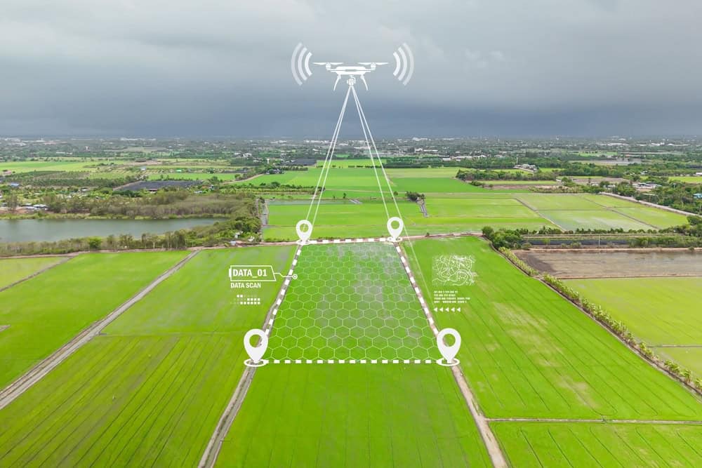
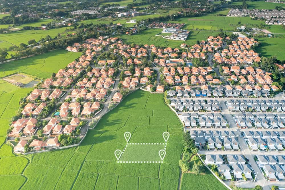
We use the latest technology to offer precise property boundary surveys

Get your boundary survey completed quickly without sacrificing quality

We prioritize your needs and make sure you are fully satisfied with our services


Share project details
Call us or get a free online quote to help us identify your project needs.

We'll follow up
If you requested an online quote, you can expect a callback within 24-48 hours of your request.

The floor is yours
Connect with an expert and share all project specifics.

Plan your project
Like what you hear? We'll provide next steps and expert guidance.

Discuss your needs and gather necessary information
Conduct on-site measurements using advanced equipment
Offer a detailed boundary survey report with precise data